Sarangani, Administrative province in southeastern Mindanao, Philippines.
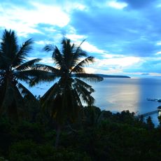
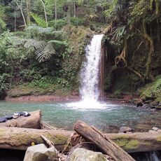
Sarangani is an administrative province in southeastern Mindanao that stretches across approximately 230 kilometers of coastline along Sarangani Bay and the Celebes Sea. It encompasses seven municipalities with Alabel serving as the provincial capital.
The region became a province in 1992 when it separated from South Cotabato, establishing its own administrative structure. This separation marked a significant turning point in the territory's development and governance.
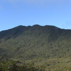
The province is home to the Blaan, Tagakaulo, and Manobo peoples, who maintain their traditional customs and ways of life throughout the region. You can observe these practices in the villages and communities as part of everyday life.
The territory connects to neighboring regions through an integrated road network, while the nearest airport in General Santos City offers regular flights to the capital. Travelers should plan visits during the dry season when road conditions are most reliable, and note that services vary depending on distance from the main towns.
Archaeological excavations in Maitum revealed anthropomorphic pottery vessels dating from 5 BC to 370 AD, indicating early human settlements in the area. These findings rank among the region's most significant prehistoric artifacts and shed light on the oldest known cultures of the territory.
The community of curious travelers
AroundUs brings together thousands of curated places, local tips, and hidden gems, enriched daily by 60,000 contributors worldwide.