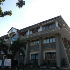
Iba, Capital municipality of Zambales, Philippines
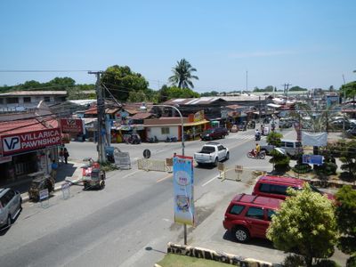
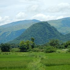
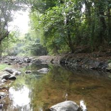
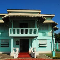
Iba is a coastal municipality in Zambales that stretches across plains and features long sand beaches bordered by the Zambales Mountains. The settlement sits along the South China Sea and is shaped by the Bancal River, which runs through the community.
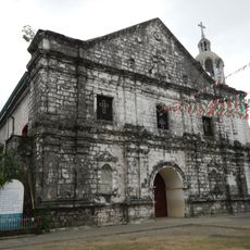
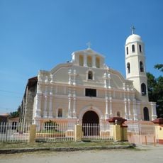
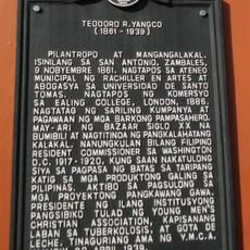
The settlement began in 1611 as Paynauen village under Augustinian Recollect priests and developed along the Bancal River to defend against sea raids. Over time, the community grew and became an important hub in the region.
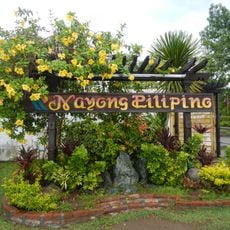
The annual Paynauen Festival brings residents and visitors together through local art exhibitions, traditional dance performances, and regional food specialties. The town comes alive during these celebrations, where you can see local craftsmanship and music on display.
Visitors reach the town through regular bus services from Manila, with the journey taking about five hours along the National Highway. The best time to visit is during dry weather, when the beaches are most accessible.
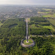
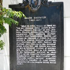
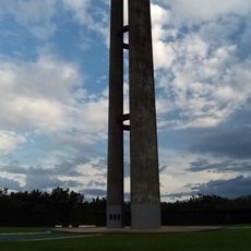
The town houses a memorial marking the birthplace of Ramon Magsaysay, who served as the seventh President of the Philippines. This makes the site important for those interested in Philippine history and leadership figures.
Location: Zambales
Inception: 1611
Elevation above the sea: 10 m
Shares border with: San Jose, Botolan
Website: http://ibazambales.gov.ph
GPS coordinates: 15.33333,119.98333
Latest update: December 7, 2025 09:25
Pinatubo
44.5 km
New Clark City
58.7 km
New Clark City Athletics Stadium
59.1 km
Officer Candidate School – Philippines
56.4 km
Monasterio de Tarlac
49.4 km
Capas National Shrine
60.3 km
Eastern Economic Corridor
62 km
Diocesan Shrine and Parish of San Andres
23 km
Nayong Pilipino Clark
60.5 km
Capones Island lighthouse
46.6 km
Manleluag Spring Protected Landscape
52.2 km
Roosevelt Protected Landscape
62.4 km
Saint Augustine Cathedral
904 m
Zoocobia Fun Zoo
59.1 km
Zambales Provincial Capitol
868 m
Ramon Magsaysay historical marker
943 m
President Ramon Magsaysay House
49.6 km
Resort
40.6 km
Capas Concentration Camp historical marker
60.3 km
Teodoro R. Yangco historical marker
44.4 km
Castillejos historical marker
50.4 km
Iba historical marker
869 m
San Antonio Municipal Hall
44.3 km
Castillejos Municipal Hall
50.4 km
Capas National Shrine Obelisk
60.3 km
Carlos P. Romulo historical marker
60.7 km
Clark Field historical marker
60.4 km
Death Place of Roxas historical marker
60 kmReviews
Visited this place? Tap the stars to rate it and share your experience / photos with the community! Try now! You can cancel it anytime.
Discover hidden gems everywhere you go!
From secret cafés to breathtaking viewpoints, skip the crowded tourist spots and find places that match your style. Our app makes it easy with voice search, smart filtering, route optimization, and insider tips from travelers worldwide. Download now for the complete mobile experience.
A unique approach to discovering new places❞
— Le Figaro
All the places worth exploring❞
— France Info
A tailor-made excursion in just a few clicks❞
— 20 Minutes