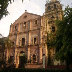
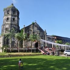
Rizal, Agricultural municipality in Laguna, Philippines.
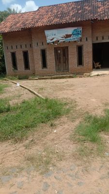
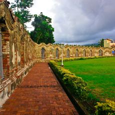
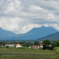
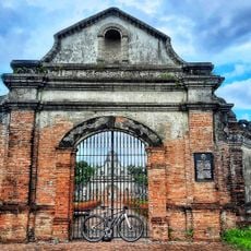
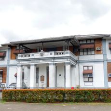
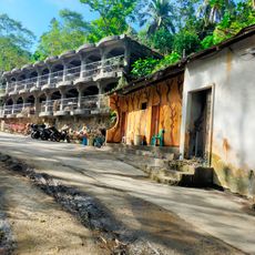
Rizal is a municipality in Laguna province that spreads across rolling hills and farmland. The area mixes agricultural fields, settlements, and natural surroundings.
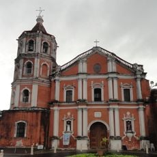
The municipality was founded in 1919 as a new administrative division of the province. It has since developed as a farming center for the region.
Farming families form the backbone of daily life, with agriculture shaping how the community works and celebrates together. The land and its cycles remain central to local identity.
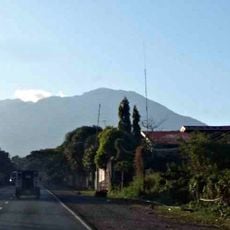
Roads connect the towns and allow travel to nearby municipalities and market areas. Visiting during the dry season makes travel easier throughout the territory.
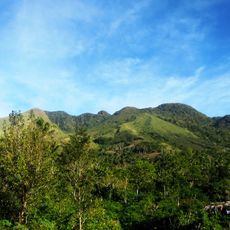
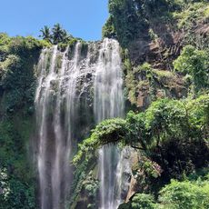
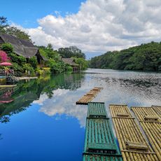
The area spreads from flat plains near Laguna de Bay to elevated zones with mountain views. This mix of landscapes creates different living conditions and farming opportunities within one municipality.
The community of curious travelers
AroundUs brings together thousands of curated places, local tips, and hidden gems, enriched daily by 60,000 contributors worldwide.