Talisay, Component city in Cebu, Philippines
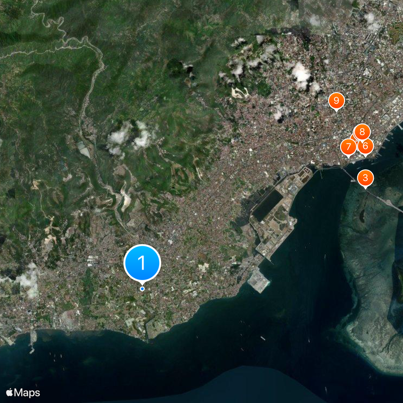
Talisay is a component city located south of Cebu City that stretches from coastal areas to elevated terrain. It is organized into 22 administrative districts and features a mix of lowland and hilly geography.
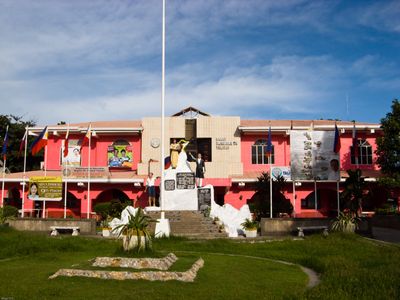
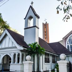
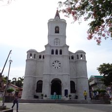
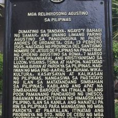
The Augustinian order founded Talisay as an estate in 1648, and the area later became a landing point for US forces during Operation Victor II in 1945. These two events shaped the town's transition from a religious outpost to a modern community.
The Halad Inasal Festival takes place in October with parades of roasted pigs and street performances honoring Saint Teresa of Avila. These celebrations show how deeply the community values its religious traditions.
The city connects to neighboring areas via the Cebu South Road and Cebu South Coastal Road, with regular bus services to Cebu City. Tabunok district serves as the main commercial hub and is accessible for shopping and errands.
Local manufacturing includes the production of blasting caps for explosives, a specialized craft that reflects the city's industrial diversity. This production capability sets it apart from other communities in the region.
Location: Cebu
Inception: 1648
Elevation above the sea: 108 m
Shares border with: Cebu City, Minglanilla
GPS coordinates: 10.25000,123.83333
Latest update: December 6, 2025 21:29
Magellan’s Cross Pavilion
8.9 km
Cebu–Cordova Link Expressway
8.5 km
Magellan’s Cross
8.9 km
Cebu Metropolitan Cathedral
9.2 km
Malacañang sa Sugbo
9.1 km
Carbon Market
8.5 km
Cathedral Museum of Cebu
9.2 km
Matilda L. Bradford Memorial Church
9.2 km
Tubod Flowing Waters Resort
4 km
Pardo Church
4 km
Religious Agustinians of the Philippines historical marker
9 km
National Musuem of the Philippines - Cebu
9.1 km
Birthplace of Sergio Osmeña, Sr. historical marker
9.1 km
Church of Pardo historical marker
4 km
Bank of the Philippine Islands historical marker
9 km
Antonio Pigafetta historical marker
9.2 km
The Cross of Magellan historical marker
8.9 km
The Bloody Palm Sunday historical marker
8 km
Colon Street historical marker
9.2 km
Bradford Memorial Church historical marker
9.2 km
Andres Bonifacio historical marker
9.2 km
Campanario Shoal
5.5 km
University of San Carlos historical marker
9.1 km
Cathedral of Cebu historical marker
9.2 km
Humabon historical marker
9.3 km
Fort of San Pedro historical marker
9.2 km
Church and Convent of Santo Niño historical marker
9 km
Cebu quincentennial historical marker
9 kmVisited this place? Tap the stars to rate it and share your experience / photos with the community! Try now! You can cancel it anytime.
Discover hidden gems everywhere you go!
From secret cafés to breathtaking viewpoints, skip the crowded tourist spots and find places that match your style. Our app makes it easy with voice search, smart filtering, route optimization, and insider tips from travelers worldwide. Download now for the complete mobile experience.
A unique approach to discovering new places❞
— Le Figaro
All the places worth exploring❞
— France Info
A tailor-made excursion in just a few clicks❞
— 20 Minutes