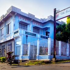
Candelaria, Municipality in Quezon, Philippines
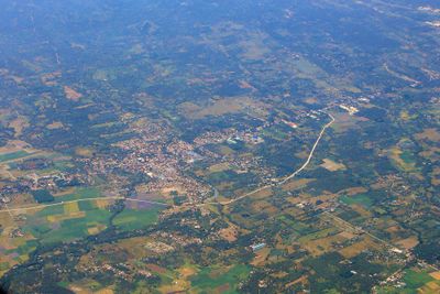
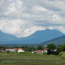
Candelaria is a municipality in the western part of Quezon Province, bordered by the Masin and Quiapo rivers. The town spans across 25 barangays with mixed agricultural and industrial areas.
The town was established in 1879 through a petition by local leaders to the Governor-General. This step gave the settlement its independent status as a separate municipality.
The February festival celebrates San Pedro Bautista with street performances and decorated floats from all 25 barangays. This annual event shows how the community honors its religious traditions together.
The municipality has three hospitals and several health centers across its barangays. These facilities are spread throughout the area to serve the local population.
The local economy centers on coconut processing, with numerous factories and oil refineries operating in the area. This industry shapes the daily work life for many residents.
Location: केज़ोन प्रान्त
Inception: August 5, 1879
Elevation above the sea: 91 m
Reference: 045608000
Shares border with: Dolores, Sariaya
Website: http://candelaria.gov.ph
GPS coordinates: 13.93111,121.42333
Latest update: December 20, 2025 02:16
Street art transforms cities through color and form. In alleys, on building walls, and across public squares, artists create works that explore social issues, graphic designs, and creative visions. Urban surfaces become spaces where messages are shared and new perspectives emerge. Berlin features...
Gala–Rodriguez House
11.5 km
Mounts Banahaw–San Cristobal Protected Landscape
15.2 kmMount Mayabobo
5.9 km
Don Catalino Rodriguez Ancestral House
11.6 km
Macario Sakay historical marker
11.4 km
Natalio Enriquez House historical marker
11.5 km
Rodriguez House historical marker
11.5 km
Church of Sariaya historical marker
11.5 km
Gala-Rodriguez House historical marker
11.5 kmOur Lady of Sorrows
9.8 kmSTA. 98+060
2.3 kmRiverside Community Stage
8.2 kmWalang Tamad sa Quezon
4.7 kmBangkong Kahoy Valley wooden sculpture signage
12.7 kmWaterfall Restaurant
11 kmChrist the King
9.8 kmBanahaw Tatlong Tangke Viewpoint
15.1 kmLangkaan Road Peak
12.7 kmUgu's Pottery Garden
8.7 kmSTA. 97+060
2.6 kmSTA. 95+060
4 kmSTA. 96+060
3.2 kmRoman Reynoso Ruins
11.4 kmRizal Monument
11.4 kmLast Supper
11.5 kmMount Banahaw Protected Landscape Welcome Marker
12.7 kmDolores Monument
9.8 kmTres Pico Waterfall
14.7 kmVisited this place? Tap the stars to rate it and share your experience / photos with the community! Try now! You can cancel it anytime.
Discover hidden gems everywhere you go!
From secret cafés to breathtaking viewpoints, skip the crowded tourist spots and find places that match your style. Our app makes it easy with voice search, smart filtering, route optimization, and insider tips from travelers worldwide. Download now for the complete mobile experience.
A unique approach to discovering new places❞
— Le Figaro
All the places worth exploring❞
— France Info
A tailor-made excursion in just a few clicks❞
— 20 Minutes