Busuanga, municipality of the Philippines in the province of Palawan
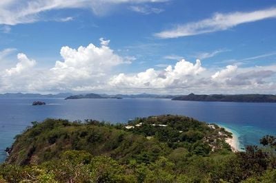
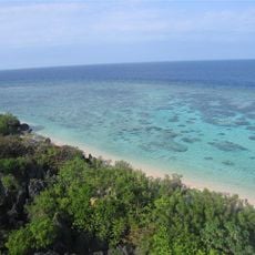
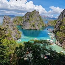
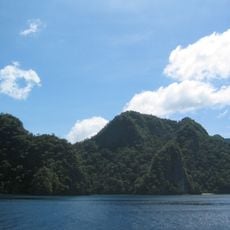
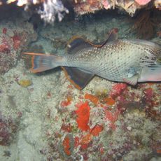
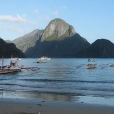
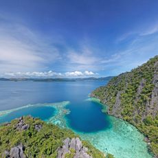
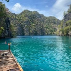
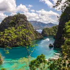
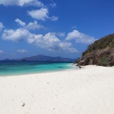
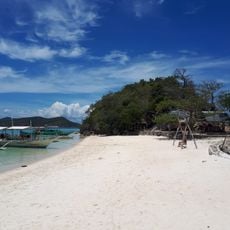
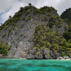
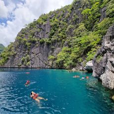
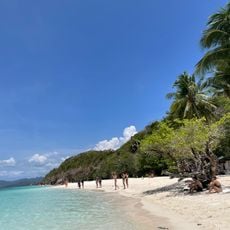
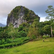
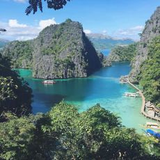
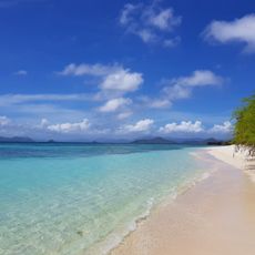
Busuanga is a municipality on an island in Palawan with mostly flat terrain and scattered hills, surrounded by clear waters. The area features white beaches, forests, limestone cliffs, and colorful coral reefs that make it popular for snorkeling and diving.
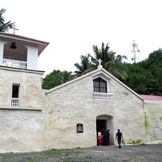
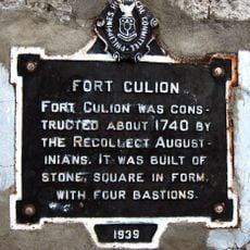
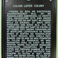
Busuanga was originally ruled by local leaders called Datus and served as a trading hub for merchants from China and Asia. Spanish priests arrived in the 1600s to build churches and forts, bringing the island under Spanish control, which later became U.S. territory after Spain and America signed a peace treaty in 1898.
The name Busuanga comes from a word meaning 'burst' or 'outbreak,' connected to a local story about a powerful storm. The Tagbanua people, the original inhabitants, keep their traditions alive through crafts like weaving and woodcarving, and by fishing and farming in ways that honor the natural world.
Visitors should plan for warm weather most of the year, with the driest period from November to May being ideal for water activities and beach days. Small boats are the main way to travel between villages, while walking and motorbikes work well for exploring quiet paths on land.
During World War II, Busuanga was a site of local resistance when fighters opposed occupying forces, and U.S. planes bombed Japanese ships here in 1944. This chapter of the island's past contrasts with its peaceful present, revealing a hidden history of courage and community defense.
The community of curious travelers
AroundUs brings together thousands of curated places, local tips, and hidden gems, enriched daily by 60,000 contributors worldwide.