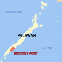
Palawan, Coastal province in Mimaropa region, Philippines
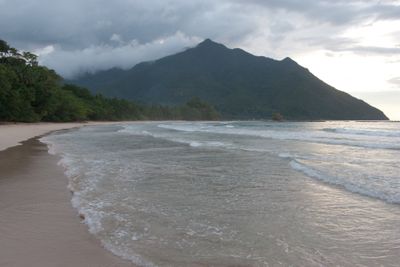
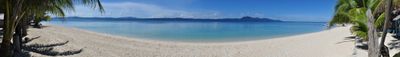
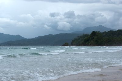
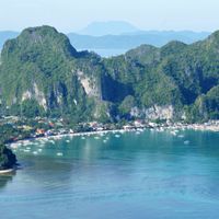
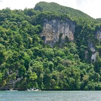
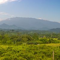
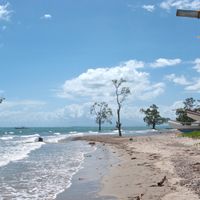
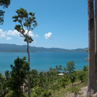
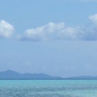
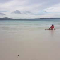
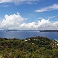
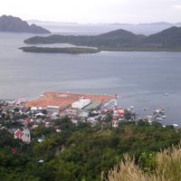
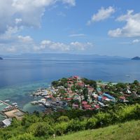
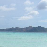
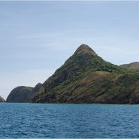
This province in the Mimaropa region stretches along a narrow strip with over a thousand islands between Mindoro and Borneo, covered in limestone mountains and rainforests. Coasts run along shallow reefs and white sand beaches, while the interior is crossed by mountains that extend for hundreds of kilometers toward the south.
Excavations show that people lived here tens of thousands of years ago, leaving behind tools and burial sites. Centuries later, the area became a trading hub between Chinese merchants and local communities before European colonial powers arrived.
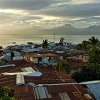
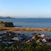
Fishing villages and boat building remain central to daily life, with markets selling dried fish, woven mats, and carved wooden items. Visitors encounter communities living in stilt houses who still use outrigger canoes to move between islands.
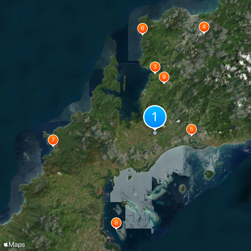
Most travelers arrive at the international airport in the capital and move around by tricycle, minibus, or boat, with ferry connections between islands depending heavily on tides and weather. It helps to allow extra time for transfers, as many locations can only be reached by water.
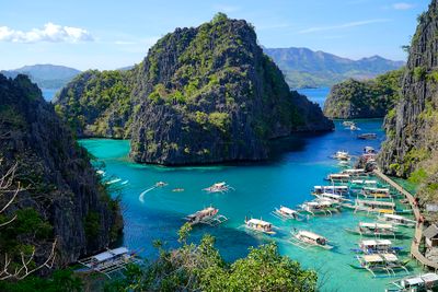
A system of underground rivers flows through karst caves that empty directly into the sea and can only be explored by boat. Rare animals live in the forests, including pangolins and monitor lizards that visitors sometimes spot on hikes.
The community of curious travelers
AroundUs brings together thousands of curated places, local tips, and hidden gems, enriched daily by 60,000 contributors worldwide.