Taytay, municipality of the Philippines in the province of Palawan
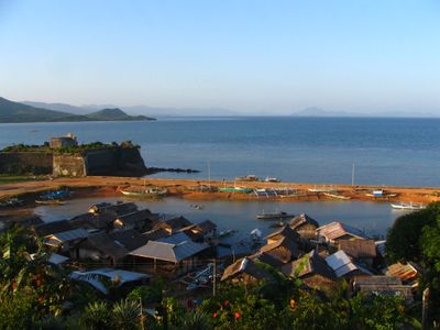
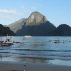
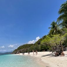
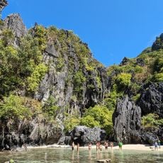
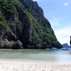
Taytay is a coastal municipality in Palawan, Philippines, located between the Sulu Sea and the South China Sea. The town comprises 31 barangays and is characterized by fishing boats, simple houses built near the water, and bustling daily markets where fresh fish, fruits, and vegetables are sold.
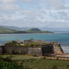
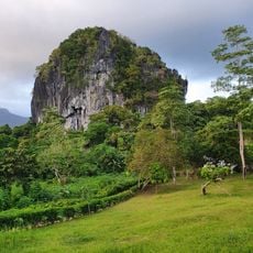
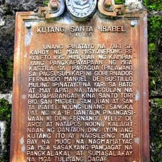
The town was historically established as an important trading port and later fortified strategically during Spanish colonial times. The Spanish built the Fuerte de Santa Isabel in the 1600s on a hilltop to protect the harbor from pirates and raids and secure regional commerce.
The town derives its name from its location on Palawan's northern coast and serves as a gathering point for fishers and traders. The local community speaks Tagalog, Palawano, and the native Tagbanwa language, with strong bonds formed through daily interactions at the market and harbor.
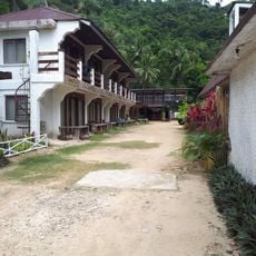
The town is easy to navigate on foot or by motorbike, with small shops and eateries within reach. The best time to visit is the dry season from December to May, when weather is warm and sunny and the sea remains calm.
Cockfighting was a preferred pastime of early residents and remains an important part of local traditions and community stories. This old practice is still mentioned and valued when the community gathers together.
The community of curious travelers
AroundUs brings together thousands of curated places, local tips, and hidden gems, enriched daily by 60,000 contributors worldwide.