San Vicente, municipality of the Philippines in the province of Palawan
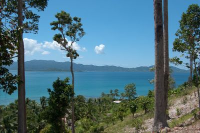
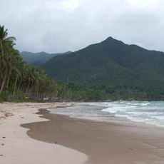
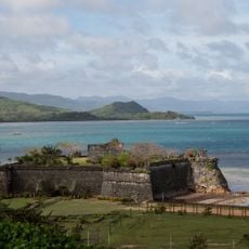
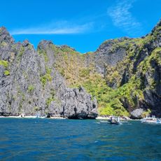
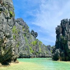
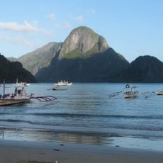
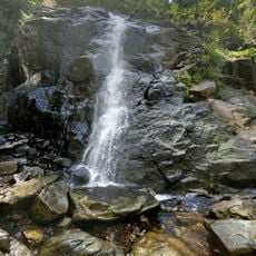
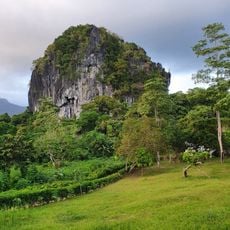
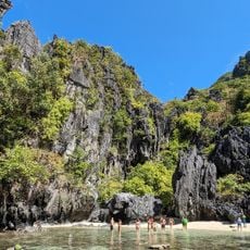
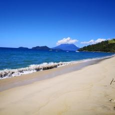
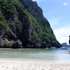
San Vicente is a municipality in Palawan, Philippines, with a long coastline and extensive territory spanning about 1,500 square kilometers. The town consists of ten barangays spread across flat to gently rolling land dotted with dense forests, white-sand beaches stretching up to 14.7 kilometers, and small rocky islands offshore.
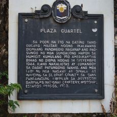
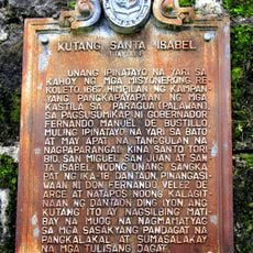
San Vicente was established as a town in 1969 and became fully independent as a municipality in 1972. Beginning in the 1950s, migrants from nearby islands settled in the area, initially around a place called Malagnang, which means muddy in the local language, before the growing community adopted the name of its patron saint.
San Vicente is named after Saint Vincent Ferrer, the town's patron saint, and residents celebrate this connection through annual festivals with street parades, dances, and communal feasts. These gatherings reveal how faith and local traditions shape the identity of the community and bring neighbors together throughout the year.
The best time to visit is during the dry season from December to May, when the weather is mostly sunny and waves are calmer for swimming and diving. From June to November, expect heavier rainfall and stronger waves driven by southwest winds, so plan water activities accordingly.
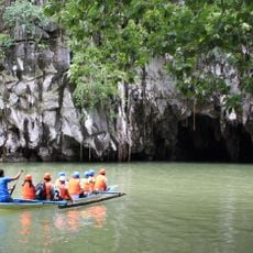
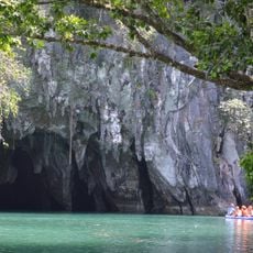
The town has a reopened airport that makes reaching this remote location much easier than before, opening access to hidden coves and coral gardens that were previously difficult to reach by road alone. This modern connection allows more visitors to experience the untouched beaches and reef systems without the long overland journey.
The community of curious travelers
AroundUs brings together thousands of curated places, local tips, and hidden gems, enriched daily by 60,000 contributors worldwide.