Santa Barbara, municipality of the Philippines in the province of Pangasinan
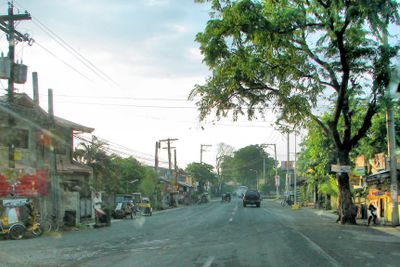
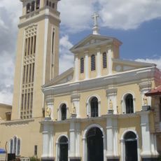
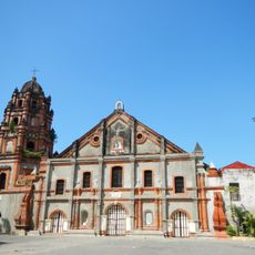
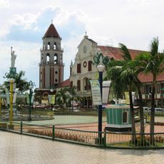
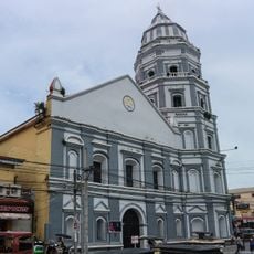
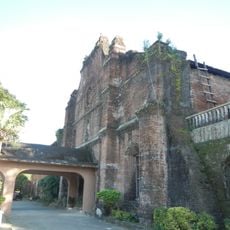
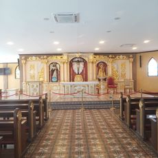
Santa Barbara is a municipality in Pangasinan province centered around its church, built in 1716, and large mango trees that provide shade along the main road. The town is surrounded by rice fields where residents grow rice and vegetables, and it includes small factories that produce rice cakes and traditional grain products.
The town was originally called Tolong, named after the river that flowed through the area and was essential to early settlers. The name later changed to Santa Barbara, after the church's patron saint, reflecting the area's growing religious importance.
The town takes its name from the patron saint honored in the local church, which has shaped community life for generations. Large mango trees line the main road and are central to local identity, especially during the annual harvest festivals that bring residents together.
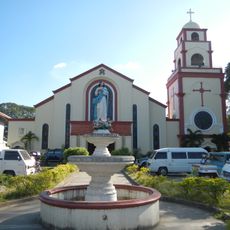
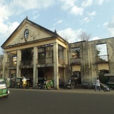
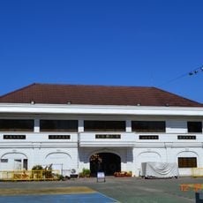
The town is best explored on foot, with visitors able to reach major sights like the old church and market easily. Tricycles are a popular local transport option for longer distances, and the best time to visit is during early morning hours when the market is active and the weather is cooler.
The town is known for its giant mango trees lining the main road, which take center stage during the harvest season celebration. An unexpected detail is the longtime gin factory operating in town, preserving a piece of local craft tradition that few visitors anticipate discovering.
The community of curious travelers
AroundUs brings together thousands of curated places, local tips, and hidden gems, enriched daily by 60,000 contributors worldwide.