
Batuan, municipality of the Philippines in the province of Masbate
Location: Masbate
Inception: 1951
Elevation above the sea: 31 m
Shares border with: Mobo, San Vicente
GPS coordinates: 12.42222,123.78167
Latest update: April 2, 2025 14:20
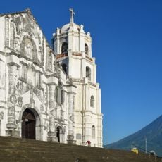
Daraga Church
81.4 km
Capul Church
43.6 km
Bulusan Volcano Natural Park
48.5 km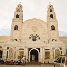
Sorsogon Cathedral
65.5 km
Capul Island Lighthouse
39.7 km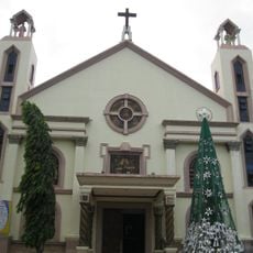
Masbate Cathedral
18.7 km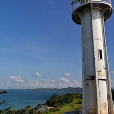
Bagatao Island Lighthouse
45.7 km
Magasang Rock Formation
70.7 km
The Forts of Bulusan historical marker
53.3 km
Church of Capul historical marker
43.6 km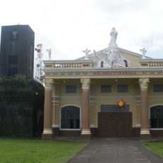
Bacon Church
74.1 km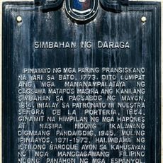
Church of Daraga historical marker
81.4 km
Bituon Beach Resort
15.6 km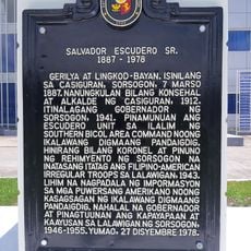
Salvador Escudero Sr. historical marker
65.8 km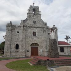
Barcelona Church
63.2 km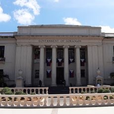
Sorsogon Provincial Capitol
65.7 km
La Edley
81.7 km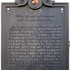
Bicol Regional Training and Teaching Hospital historical marker
80.9 km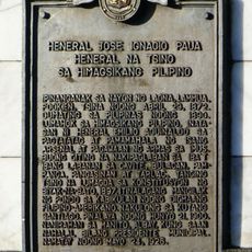
General Jose Ignacio Paua historical marker
80.1 km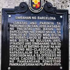
Church of Barcelona historical marker
63.2 km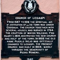
Church of Legaspi historical marker
80.9 km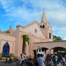
Legazpi Church
81 km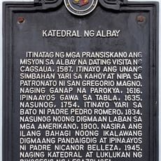
Cathedral of Albay historical marker
79.9 km
Capul Lighthouse historical marker
39.6 km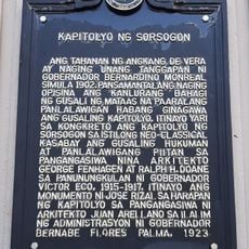
Capitol of Sorsogon historical marker
65.7 km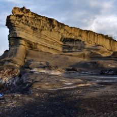
Magsapad Rock Formation
70.8 km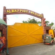
Albay Park and Wildlife
82 km
Caranas Rock Formation
71.8 kmReviews
Visited this place? Tap the stars to rate it and share your experience / photos with the community! Try now! You can cancel it anytime.
Discover hidden gems everywhere you go!
From secret cafés to breathtaking viewpoints, skip the crowded tourist spots and find places that match your style. Our app makes it easy with voice search, smart filtering, route optimization, and insider tips from travelers worldwide. Download now for the complete mobile experience.

A unique approach to discovering new places❞
— Le Figaro
All the places worth exploring❞
— France Info
A tailor-made excursion in just a few clicks❞
— 20 Minutes