Upper Marikina River Basin Protected Landscape, Protected landscape in Rizal Province, Philippines
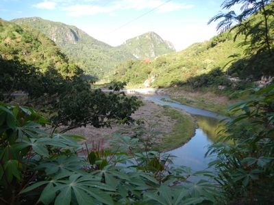
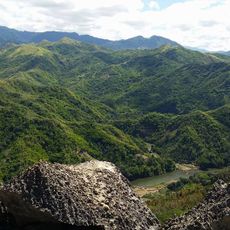
The Upper Marikina River Basin Protected Landscape is a protected area in the Sierra Madre Mountains, in Rizal Province east of Manila. It covers a mix of forests, grasslands, and river systems that flow down from the mountains toward the lowlands.
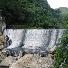
The area was first set aside for protection in 1904, primarily to secure a water supply for Manila. The Wawa Dam system was built as part of that early effort and shaped how the land has been managed ever since.
Local communities have grown vegetables along the riverbanks for generations, and the fields are still easy to spot today. The daily rhythm of village life in the area is closely tied to this farming tradition.
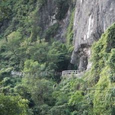
The area spans five municipalities in Rizal Province and has several entry points, so it helps to decide in advance which part you want to explore. Some sections are easier to reach than others depending on where you are based.
Although the area is best known as a water source, it also shelters bird species that are rarely found this close to a major city. Birdwatchers visit specifically for this reason, making it a quiet but active spot for wildlife observation.
The community of curious travelers
AroundUs brings together thousands of curated places, local tips, and hidden gems, enriched daily by 60,000 contributors worldwide.