Thitu Island and Reefs, Inhabited atoll in Spratly Islands, Philippines
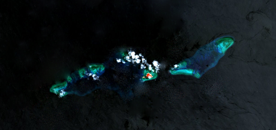
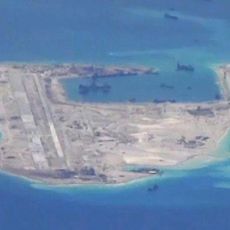
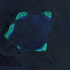
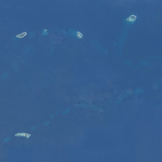
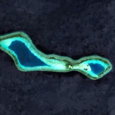
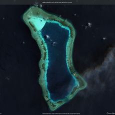
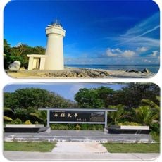
Thitu Island is an inhabited atoll in the Spratly Islands covering approximately 37 hectares with residential areas, a concrete runway, a lighthouse, and medical facilities. Coral reefs surround the entire location and form an essential part of its geography.
The Philippines established control over this location in 1971 by building military presence during a typhoon after Taiwanese forces withdrew from the area. This occupation became a significant moment in regional territorial claims within the South China Sea.
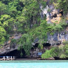
Residents engage in fishing traditions and maintain community life through a school and regular religious gatherings. Daily activities center around maritime work and the seasonal rhythms that govern life in this remote location.
Supply vessels depart regularly from Palawan, requiring approximately 30 hours to cross the South China Sea to this location. Visitors should prepare for limited landing options and rough sea conditions, especially during the monsoon season.
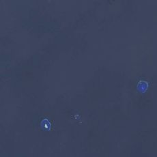
Chinese coast guard vessels monitor the waters surrounding the atoll daily, while fishing boats illuminate the night horizon with bright lights. This contrasting scene reflects the geopolitical tension that defines the location.
The community of curious travelers
AroundUs brings together thousands of curated places, local tips, and hidden gems, enriched daily by 60,000 contributors worldwide.