
Teneguiban, barangay of the Philippines in the municipality of El Nido, Palawan
Location: El Nido
Elevation above the sea: 7 m
GPS coordinates: 11.35800,119.50700
Latest update: March 7, 2025 15:31
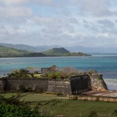
Fort Santa Isabel
59 km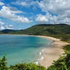
Nacpan Beach
9.6 km
Secret Lagoon
31.8 km
Malampaya Sound Protected Landscape/Seascape
62.4 km
Hidden Beach
30.9 km
El Nido-Taytay Managed Resource Protected Area
21.1 km
Seven Commandos Beach
24.8 km
Malcapuya Island
82 km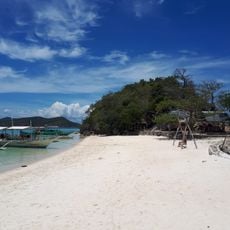
Bulog Dos Island
83.1 km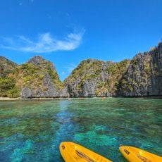
Big Lagoon
30.4 km
CYC Beach
99.7 km
Small Lagoon
30.2 km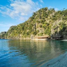
Atwayan Beach
98.7 km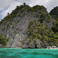
Beach 91
99.3 km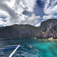
Matinloc Shrine
30.6 km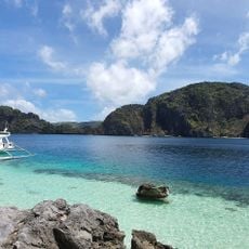
Talisay Beach
31.5 km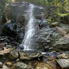
Nagkalit-kalit Waterfalls
13.6 km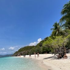
Malcapuya Island Beach Resort
81.7 km
Ille Cave
18 km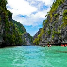
Small Lagoon to Big Lagoon
30.2 km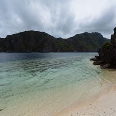
Secret Beach
31.1 km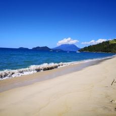
Erawan Beach
81.8 km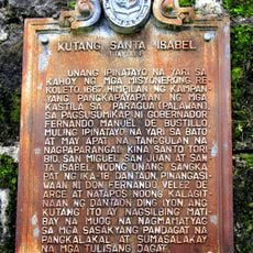
Fort Santa Isabel historical marker
59 km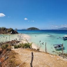
Ditaytayan Beach
77.5 km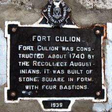
Fort Culion historical marker
82 km
Secret Lagoon
31.8 km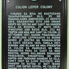
Culion Leper Colony historical marker
81.9 km
Talisay Beach
23.2 kmReviews
Visited this place? Tap the stars to rate it and share your experience / photos with the community! Try now! You can cancel it anytime.
Discover hidden gems everywhere you go!
From secret cafés to breathtaking viewpoints, skip the crowded tourist spots and find places that match your style. Our app makes it easy with voice search, smart filtering, route optimization, and insider tips from travelers worldwide. Download now for the complete mobile experience.

A unique approach to discovering new places❞
— Le Figaro
All the places worth exploring❞
— France Info
A tailor-made excursion in just a few clicks❞
— 20 Minutes