Enable Location

We need your location to show you interesting places around you

Discover nearby places

Find interesting locations and hidden gems around you

Precise directions

Get accurate directions and distances to places

Your location is never shared with other users. It's only used when you tap the location button.

Tunasan

Log in to your account

Start exploring — it's free

Trusted by 64,817 travelers worldwide

Continue with Google
Continue with Apple
or

We will send you a code to connect

By continuing, you accept our Terms and Conditions and our Privacy Policy

Check your inbox

We've sent a pincode in your inbox. Please enter the code below.

Discussion Reviews 1 Photos
5.1k Popularity

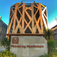
Tunasan, Administrative territorial entity in Muntinlupa, Philippines

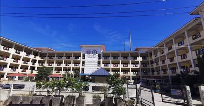
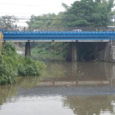
Tunasan is an administrative area in the southern part of Muntinlupa, in Metro Manila, Philippines. It sits along the western shore of Laguna de Bay and is made up of residential neighborhoods linked by local roads and waterways.

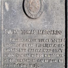
During the Spanish colonial period, the area was known as Tunasancillo and was part of a large estate managed by Augustinian Recollect friars. It was gradually absorbed into the growing city of Muntinlupa after the end of colonial rule.

The name comes from the Nymphaea nouchali plant, locally called tunas, which once grew in abundance along the Tunasan River and the shores of Laguna de Bay.

The area is best reached by private car or motorcycle taxi, as most neighborhoods are linked by paved roads. Streets near the waterways can flood during heavy rain, so it is worth checking weather conditions before heading out.

The name Tunasan comes from the Nymphaea nouchali plant, called tunas in Filipino, which once grew in large numbers along the Tunasan River. The plant has mostly disappeared from the area today, but its name remains attached to the place.

The community of curious travelers

AroundUs brings together thousands of curated places, local tips, and hidden gems, enriched daily by 60,000 contributors worldwide.

Start exploring
Location
Muntinlupa District 1
Address
Tunasan, Muntinlupa City, Metro Manila, Philippines
GPS coordinates
14.36820,121.03313
Latest update
March 3, 2026 10:07
Reviews
Share your experience

No review yet

Discussions
Start a discussion...

No discussion yet

« Tunasan - Administrative territorial entity in Muntinlupa, Philippines » is provided by Around Us (aroundus.com). Images and texts are derived from Wikimedia project under a Creative Commons license. You are allowed to copy, distribute, and modify copies of this page, under the conditions set by the license, as long as this note is clearly visible.

Discover hidden gems everywhere you go!

From secret cafés to breathtaking viewpoints, skip the crowded tourist spots and find places that match your style. Our app makes it easy with voice search, smart filtering, route optimization, and insider tips from travelers worldwide. Download now for the complete mobile experience.

Around Us App Screenshot

A unique approach to discovering new places

Le Figaro

All the places worth exploring

France Info

A tailor-made excursion in just a few clicks

20 Minutes

Around Us
Travel Guide & Maps
Download

Send to your phone

QR Code
1

Open the camera app on your mobile.

2

Point at the QR code with your camera. A notification will appear.

3

Tap the notification to open the link.