Neelum District, Administrative district in Azad Kashmir, Pakistan
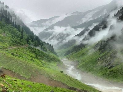
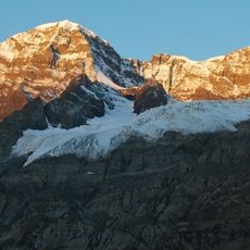
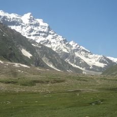
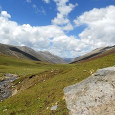
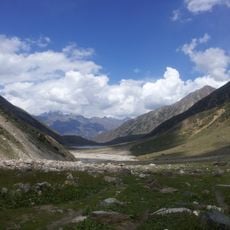
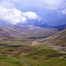
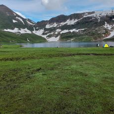
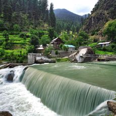
Neelum District spans mountainous terrain in northern Pakistan with elevations ranging between roughly 1,200 and 2,300 meters (4,000 and 7,500 feet). The area divides into two administrative units and is shaped by the Neelum River, which flows through valleys used for farming and settlement.
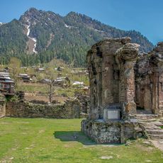
The area was previously known by the name Kishanganga before becoming a separate district in 2005. That same year brought a major earthquake that caused substantial damage and reshaped the region.
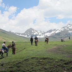
The district is home to communities that speak Urdu, Hindko, and Kashmiri while keeping traditional farming ways and local celebrations alive. You can see these customs woven into daily life throughout the region.
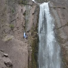
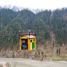
The district is best explored on foot or by local transport, especially in higher areas where paths can be narrow and steep. Visitors should prepare for changing weather conditions and bring suitable clothing for the elevation.
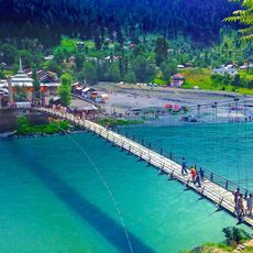
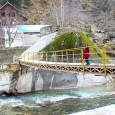
The Neelum River connects this district to the broader river system of the region by eventually merging with the Jhelum downstream. This waterway shapes the landscape while also having been key to how people settled and built communities here.
The community of curious travelers
AroundUs brings together thousands of curated places, local tips, and hidden gems, enriched daily by 60,000 contributors worldwide.