Hel Peninsula

Log in to your account

AroundUs is a community-driven map of interesting places, built by curious explorers like you. It grows with every review, story, and photo you share.
Connect to save your favorite spots, contribute locations, and create personalized routes.
Continue with Google
Continue with Apple
Continue with X
Continue with Facebook
Continue with email
By continuing, you accept our Terms and Conditions and our Privacy Policy
Create an account

Hel Peninsula

Add to collection
Map
Suggest a change
Share

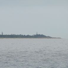
Hel Peninsula, Peninsula in Pomeranian Voivodeship, Poland.

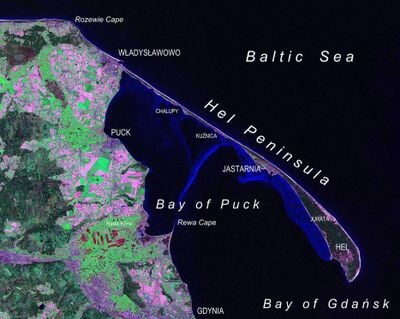
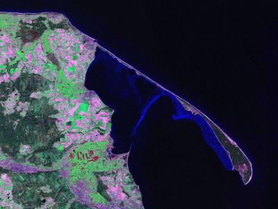
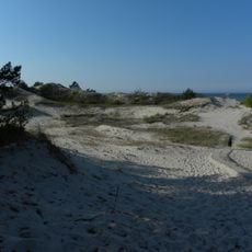
The Hel Peninsula is a narrow strip of land that runs for 35 kilometers into the Baltic Sea and separates Puck Bay from the open water. The width of this sandbank varies between 100 meters at its narrowest point and about 3 kilometers at its widest, making it one of the most unusual coastal formations in Poland.

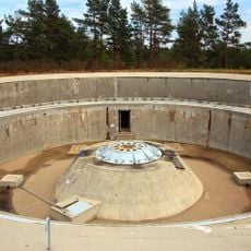
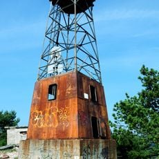
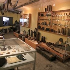
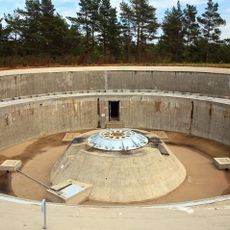
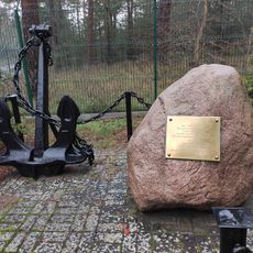
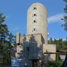
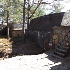
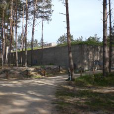
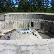
Until the 17th century, this coastal formation consisted of a chain of islands that gradually connected through natural processes into a continuous strip of land. During World War II, parts of the area served as a military fortress, with Polish troops deliberately flooding some sections to create defensive positions.

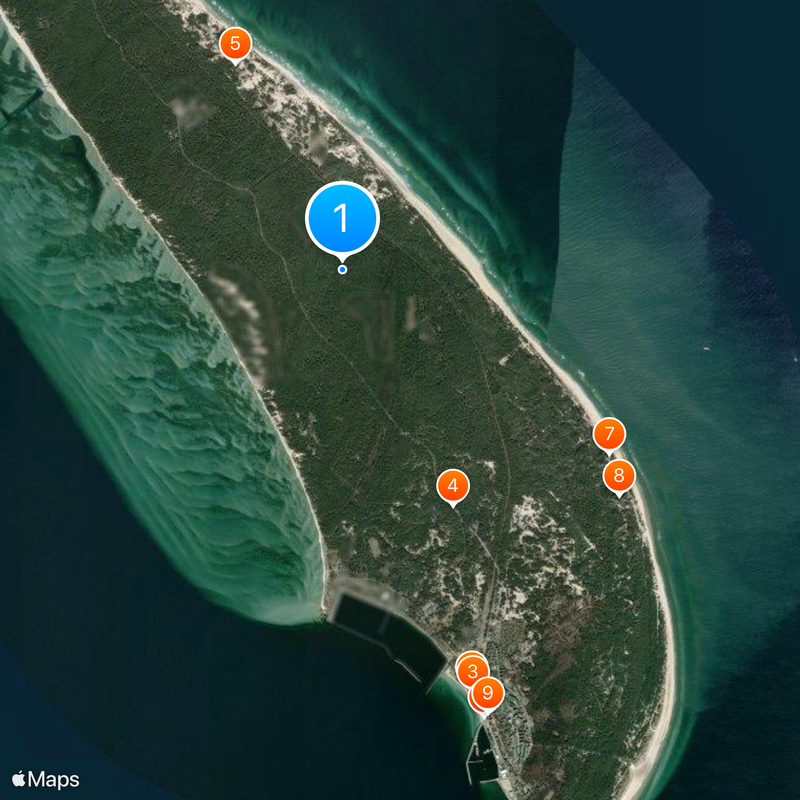
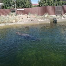
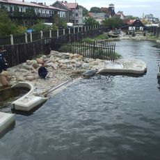
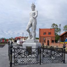
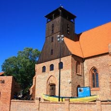
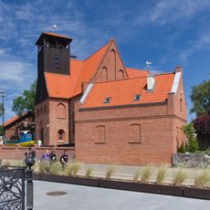
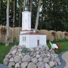
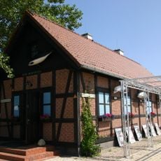
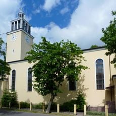
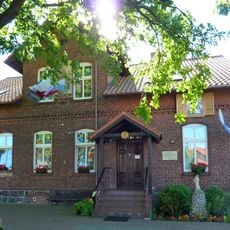
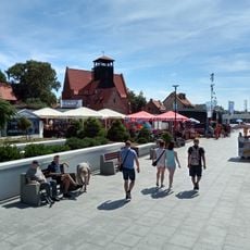
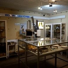
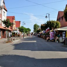
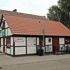
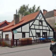
The area holds several small communities whose people have lived from fishing and seafaring for centuries. Local traditions appear in the preserved fisher huts that now often serve as museums or workshops, while fishermen still sell their catch directly on the beach.

A single road and railway line connect the entire spit to the mainland, with both running the full length and serving all settlements. Regular ferries offer an alternative route from Gdynia, Sopot, and Gdańsk, especially useful during heavy summer traffic.

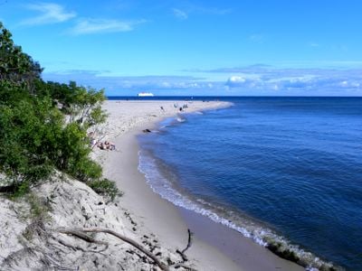
At some narrow spots, you can walk from one shore of the spit to the other in just a few minutes, passing directly between the calm water of the bay and the open waves of the Baltic. This short distance makes it possible to experience completely different coastal landscapes within a few steps during changing weather conditions.

Location: Pomeranian Voivodeship

GPS coordinates: 54.64167,18.78139

Latest update: January 7, 2026 09:20

Photos
Greater Poland and Pomerania: historic towns, teutonic castles and Baltic coast

This collection brings together 40 places across Greater Poland and Pomerania, two northern regions where the history of Poland began. In Poznan, the market square and town hall recall the time when the city was a thriving trade center. Ostrow Tumski island hosts the cathedral where the first Polish...

Reviews

Visited this place? Tap the stars to rate it and share your experience / photos with the community! Try now! You can cancel it anytime.

« Hel Peninsula - Peninsula in Pomeranian Voivodeship, Poland » is provided by Around Us (aroundus.com). Images and texts are derived from Wikimedia project under a Creative Commons license. You are allowed to copy, distribute, and modify copies of this page, under the conditions set by the license, as long as this note is clearly visible.

Discover hidden gems everywhere you go!

From secret cafés to breathtaking viewpoints, skip the crowded tourist spots and find places that match your style. Our app makes it easy with voice search, smart filtering, route optimization, and insider tips from travelers worldwide. Download now for the complete mobile experience.

Around Us App Screenshot

A unique approach to discovering new places

Le Figaro

All the places worth exploring

France Info

A tailor-made excursion in just a few clicks

20 Minutes