Gmina Ożarowice, Administrative district in Tarnowskie Góry County, Poland
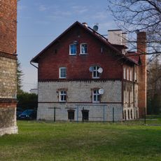
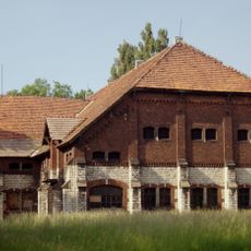
Gmina Ożarowice is an administrative district in Tarnowskie Góry County in southern Poland comprising eight villages including Celiny, Niezdara, and Pyrzowice. The area functions as a unified jurisdiction serving local governance and community matters.
The district was established through Poland's administrative reorganization and became part of the Silesian Voivodeship's governance framework. This restructuring defined the area's modern institutional role.
This administrative district reflects Silesian heritage through local events and community celebrations where residents from different villages gather together. The place shapes daily life through customs rooted in the region's traditions.
The village of Ożarowice houses the administrative center where residents handle official matters and document services. Visitors should plan their visit during standard business hours for accessing local government services.
The district sits at the boundary of six neighboring gminas and borders the town of Miasteczko Śląskie, making it a crossroads between multiple communities. This central position connects different local networks and areas.
Location: Tarnowskie Góry county
Shares border with: Miasteczko Śląskie, Gmina Świerklaniec, Gmina Bobrowniki, Gmina Mierzęcice, Gmina Siewierz, Gmina Woźniki, Gmina Koziegłowy
Website: http://ozarowice.pl
GPS coordinates: 50.46667,19.05000
Latest update: December 11, 2025 11:05
Neudeck Palace
7.8 km
Kozłowa Góra Lake
6.5 km
Old palace of Świerklaniec
8 km
Pałac Kawalera
7.9 km
Park in Świerklaniec
7.9 km
Donnersmarck mausoleum in Świerklaniec
7.7 km
Saint Jacob Church in Sączów
3.3 km
Church of the Nativity of the Virgin Mary in Żyglin
7.5 km
St. Barbara church in Ożarowice, Poland
770 m
Christ the King church in Świerklaniec
8 km
Fountains complex in Świerklaniec
7.7 km
Folwark fence in Myszkowice
3.6 km
Fundamenty i tarasy pałacu w Świerklańcu
7.8 km
Flagpole in Świerklaniec
7.7 km
16 Parkowa Street in Świerklaniec
8.3 km
Hunting manor house in Bibiela
5.1 km
16a Parkowa Street in Świerklaniec
8.3 km
Donnesmarck residential complex in Świerklaniec
8.1 km
All Saints church in Siemonia
5.2 km
22 Parkowa Street in Świerklaniec
8.4 km
Palace complex in Świerklaniec
7.8 km
14 Parkowa Street in Świerklaniec
8.3 km
20 Parkowa Street in Świerklaniec
8.4 km
14b Parkowa Street in Świerklaniec
8.4 km
Południowy fragment parku pałacowego w Świerklańcu
8.2 km
14a Parkowa Street in Świerklaniec
8.3 km
Saint Mark chapel in Miasteczko Śląskie
7.8 km
18 Parkowa Street in Świerklaniec
8.4 kmVisited this place? Tap the stars to rate it and share your experience / photos with the community! Try now! You can cancel it anytime.
Discover hidden gems everywhere you go!
From secret cafés to breathtaking viewpoints, skip the crowded tourist spots and find places that match your style. Our app makes it easy with voice search, smart filtering, route optimization, and insider tips from travelers worldwide. Download now for the complete mobile experience.
A unique approach to discovering new places❞
— Le Figaro
All the places worth exploring❞
— France Info
A tailor-made excursion in just a few clicks❞
— 20 Minutes