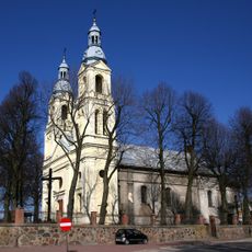
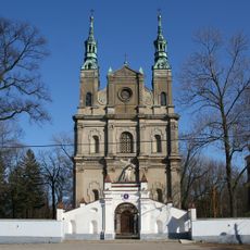
Gmina Mykanów, Rural municipality in Częstochowa County, Poland.
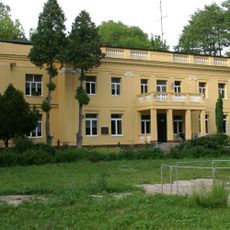
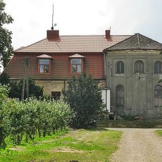
Gmina Mykanów is a rural municipality located near Częstochowa, characterized by farmland and fields that define its landscape and economy. The territorial area encompasses thirteen villages connected by local roads, each with its own identity and settlement pattern.
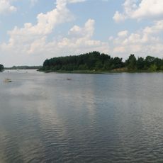
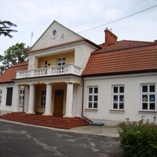
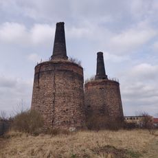
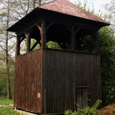
The area has been continuously used for agricultural purposes across centuries, maintaining its rural character through different political systems and administrative reorganizations. The municipality developed as an administrative structure to serve the needs of its scattered villages and farming communities.
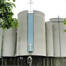
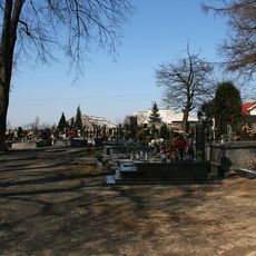
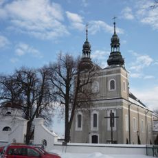
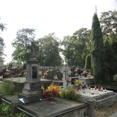
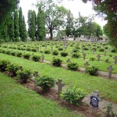
The region reflects Silesian traditions through local customs and agricultural ways of life that remain central to community identity. Visitors can observe how farming practices and seasonal rhythms shape daily routines across the scattered villages.
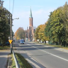
The area can be easily traversed by a network of local roads, with the administrative center serving as a main orientation point. Visitors should be aware that public transportation is limited, making personal transport more practical for exploring the scattered villages.
The municipality operates an electronic communication system that reaches residents across its scattered villages, an unusual feature for such a rural area. This modern approach to public information demonstrates how technology adapts to serve dispersed populations in the countryside.
Location: Częstochowa County
Shares border with: Częstochowa, Gmina Kłobuck, Gmina Kłomnice, Gmina Kruszyna, Gmina Miedźno, Gmina Nowa Brzeźnica, Gmina Rędziny
Website: http://mykanow.pl
GPS coordinates: 50.93270,19.18060
Latest update: December 10, 2025 16:27
Palace in Kruszyna
7.8 km
Kule Cemetery in Częstochowa
12 km
Palace in Nieznanice
9.1 km
Polish Catholic Cathedral of Virgin Mary the Queen of the Apostles in Częstochowa
12.4 km
Las Aniołowski
10.6 km
Ostrowy Reservoir
12.5 km
Palace in Borowno
6.6 km
Parish cemetery in Rędziny
8.6 km
Werszczyński manor in Kościelec
4.9 km
Palace in Chorzenice
9.2 km
Kościół św. Macieja Apostoła w Kruszynie
7.7 km
Church of Saint Martin in Kłomnice
12.6 km
Saint Odile church in Rędziny
8.6 km
Water Park Częstochowa
12.6 km
Saint Leonard church in Mykanów
1.7 km
Manor house in Kamyk
11.2 km
Piece wapiennicze w Rudnikach
7.2 km
Cemetery in Kłomnice
12 km
World Wars
12 km
Kościół parafialny św. Macieja w Kruszynie
7.7 km
Saint Leonard church in Mykanów
1.7 km
Orthodox Cemetery in Częstochowa
12.1 km
Saint Lawrence church in Borowno
6.5 km
Cmentarz rzymsko-katolicki w Częstochowie
12 km
Dzwonnica przy kościele św. Stanisława
10.7 km
Pałac w Borownie
6.4 km
Ogrodzenie
7.7 km
Oficyna (z wieżą zachodnią)
7.8 kmVisited this place? Tap the stars to rate it and share your experience / photos with the community! Try now! You can cancel it anytime.
Discover hidden gems everywhere you go!
From secret cafés to breathtaking viewpoints, skip the crowded tourist spots and find places that match your style. Our app makes it easy with voice search, smart filtering, route optimization, and insider tips from travelers worldwide. Download now for the complete mobile experience.
A unique approach to discovering new places❞
— Le Figaro
All the places worth exploring❞
— France Info
A tailor-made excursion in just a few clicks❞
— 20 Minutes