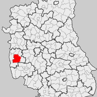
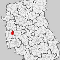
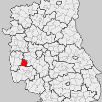
Opole Lubelskie County, Administrative county in Lublin Voivodeship, Poland.
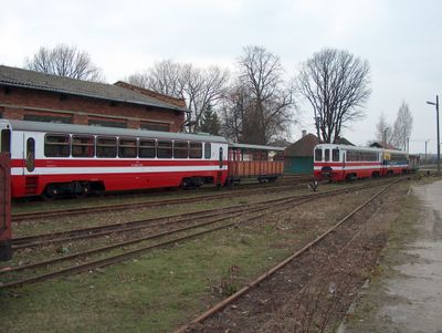
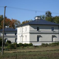
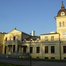
Opole Lubelskie County is an administrative district in the Lublin region of eastern Poland covering an area of about 800 square kilometers. The territory includes two main towns and several municipalities connected by a network of roads.
The area was established as a separate administrative district in 1999 after Poland reorganized its regional administration structure. This reshaping made it part of modern Poland's decentralized governance system.
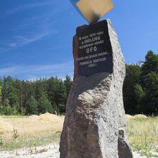
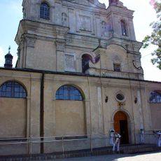
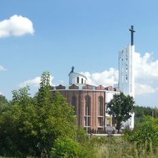
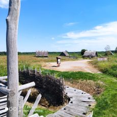
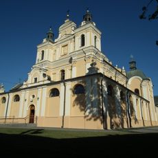
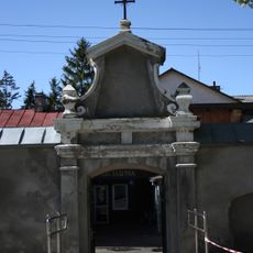
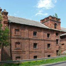
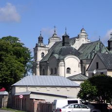
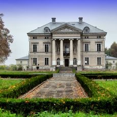
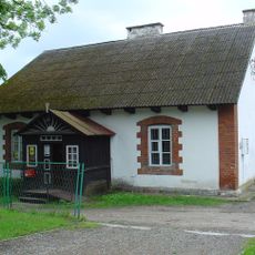
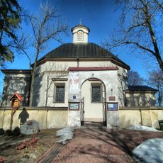
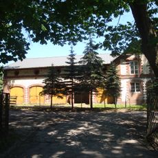
The area has preserved rural traditions that shape daily life, with local celebrations featuring folk music and traditional crafts that reflect regional identity. Visitors walking through villages can observe these customs expressed in local festivals and community gatherings throughout the year.
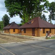
The area connects well to the city of Lublin, about 44 kilometers away, through several regional roads that make it easily accessible. Visitors should use a car to comfortably explore the various towns and villages.
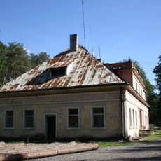
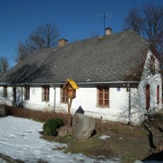
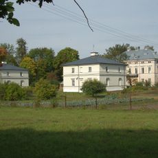
The area is relatively sparsely populated, with roughly two-thirds of its population spread across rural communities, making it predominantly rural in character. This composition shapes the territory with wide open fields and scattered villages throughout.
Location: Lublin Voivodeship
Capital city: Opole Lubelskie
Shares border with: Puławy County, Lublin County, Kraśnik County, Opatów County, Lipsko County, Zwoleń County
Website: http://opole.lublin.pl
GPS coordinates: 51.15000,21.96667
Latest update: December 10, 2025 15:47
Lubomirski Palace
628 m
Pomnik UFO w Emilcinie
5.3 km
Kościół Wniebowzięcia Najświętszej Maryi Panny w Opolu Lubelskim
417 m
Dekanat Opole Lubelskie
404 m
Holy Trinity church in Wrzelowiec
7.1 km
Ratusz w Opolu Lubelskim
365 m
Holy Spirit church in Poniatowa
8.2 km
Grodzisko Żmijowiska
8.9 km
Church of the Assumption in Opole Lubelskie
404 m
Oficyna II
1.2 km
Pałac
631 m
Cmentarz żydowski w Opolu Lubelskim
987 m
Chodlik Gord
6.7 km
Oficyna I
1.2 km
Palace in Opole Lubelskie
632 m
Budynek administracyjny
7.6 km
Mur cmentarza kościelnego z bramką
422 m
Dworzec kolejowy, ob. dom mieszkalny
7.6 km
Watermill in Wola Rudzka
2.5 km
Stara plebania, ob. biblioteka
7 km
Zespół klasztorny pijarów
385 m
Palace in Kluczkowice
9.1 km
Niezdów Palace
1.2 km
Dworzec kolejowy
7.6 km
Zespół pałacowy
1.1 km
Organistówka, ob. poczta
7.1 km
Ogrodzenie z 4 kapliczkami i bramką
7.1 km
Dawne stajnie
9 kmVisited this place? Tap the stars to rate it and share your experience / photos with the community! Try now! You can cancel it anytime.
Discover hidden gems everywhere you go!
From secret cafés to breathtaking viewpoints, skip the crowded tourist spots and find places that match your style. Our app makes it easy with voice search, smart filtering, route optimization, and insider tips from travelers worldwide. Download now for the complete mobile experience.
A unique approach to discovering new places❞
— Le Figaro
All the places worth exploring❞
— France Info
A tailor-made excursion in just a few clicks❞
— 20 Minutes