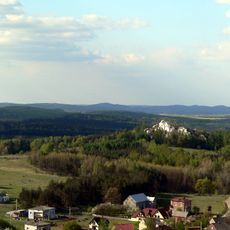
Ogrodzieniec, Medieval trade center in Silesian Voivodeship, Poland
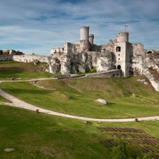
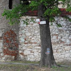
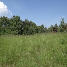
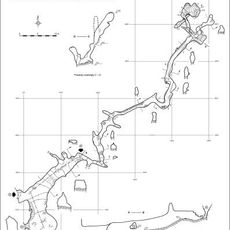
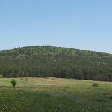
Ogrodzieniec is a town in Silesian Voivodeship situated across rolling terrain of the Lesser Poland Upland, with elevations reaching around 420 meters. The settlement lies along the Trail of Eagles' Nests, a hiking route that passes through several medieval castles stretching between Krakow and Czestochowa.
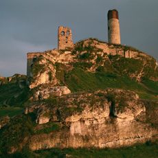
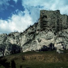
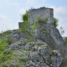
The town began in the 11th century as a forest settlement with a wooden fortress, which Mongol invaders destroyed by fire during their 1241 campaign. The community was rebuilt afterward and gradually became an important trading center with stronger stone fortifications.
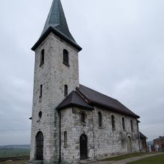
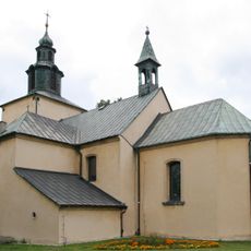
The parish church here reflects changing beliefs over the centuries, serving as both a Catholic and Calvinist place of worship before settling back into its Catholic role. Walking through the town today, you can sense how faith shaped the community's identity across different eras.
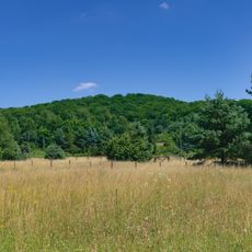
Visitors can hike the Trail of Eagles' Nests, which connects several castles in the area with varying difficulty levels depending on the chosen route. The terrain is hilly, so wearing sturdy footwear and allowing ample time for exploration is advisable.
Local folklore speaks of a phantom black dog with burning eyes that roams the castle ruins at night, dragging heavy chains behind it. This legend has become part of the area's storytelling tradition and continues to intrigue visitors today.
The community of curious travelers
AroundUs brings together thousands of curated places, local tips, and hidden gems, enriched daily by 60,000 contributors worldwide.