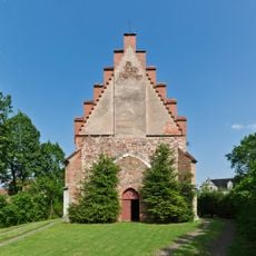
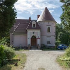
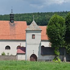
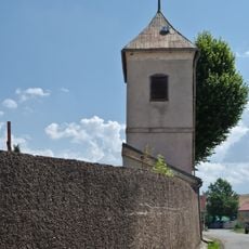
Słupiec, Urban district in Nowa Ruda, Poland
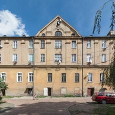
Słupiec is an urban district in Nowa Ruda, Lower Silesian Voivodeship, combining residential blocks, industrial sites, and former mining structures in one developed area. The neighborhood reflects multiple periods of urban growth with varied architecture and facilities.
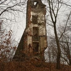
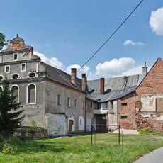
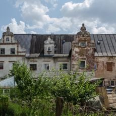
The area emerged in the 14th century and expanded through coal mining and textile manufacturing, which shaped its long-term development. These industries left lasting marks on the district's layout and character.
The district carries visible traces of its mining past through structures and monuments woven into everyday life and local spaces. These remnants shape how people experience and understand the area's industrial roots today.
A former mine shaft has been converted into an indoor climbing facility available throughout the year for recreational climbing. The space serves visitors of different experience levels with varied climbing routes in its underground setting.
The former Szyb Nowy I mine shaft allows climbers to train within actual underground mining chambers and passages. Visitors experience the depth and scale of real mining infrastructure while pursuing their sport.
Location: Nowa Ruda
GPS coordinates: 50.50000,16.50000
Latest update: December 10, 2025 16:21
Basilica of the Visitation
3.4 km
Ścinawka Średnia Castle
3 km
Wieża widokowa w Suszynie
3 km
Observation tower on Grodziszcze
4.1 km
Jesuit parsonage palace complex in Ścinawka Średnia
2.9 km
Manor in Ścinawka Dolna
1.9 km
Parafia Ewangelicko-Metodystyczna w Ścinawce Średniej
2.4 km
Ruchoma Szopka
3.2 km
St. James the Apostle Church in Ścinawka Dolna
2.7 km
Chmielnik (Wzgórza Włodzickie)
3.6 km
Saint Stanislaus Kostka church in Ścinawka Dolna
2.7 km
Kościół ewangelicki w Ścinawce Średniej
2.4 km
Ptak
3.6 km
Saint Mary Magdalene Church in Ścinawka Średnia
3.2 km
Kościół śś. Piotra i Pawła w Raszkowie
2.3 km
Corpus Christi church in Ścinawka Średnia
1.9 km
Forester's lodge in Bożków
3.7 km
Droga krzyżowa w Wambierzycach
3.2 km
Zespół dworski, poł. XVIII
2.7 km
Dwór dóbr Schlosshof, poł. XVIII
2.7 km
Ogród
2.8 km
Saints Peter and Paul church in Raszków
2.3 km
Budynek bramny z dzwonnicą w Raszkowie
2.3 km
Zespół hotelu, ob. domu wycieczkowego
3.4 km
Hotel, ob. dom wycieczkowy
3.4 km
Mury oporowe
3.2 km
Oranżeria
3.2 km
Ogrodzenie
2.3 kmVisited this place? Tap the stars to rate it and share your experience / photos with the community! Try now! You can cancel it anytime.
Discover hidden gems everywhere you go!
From secret cafés to breathtaking viewpoints, skip the crowded tourist spots and find places that match your style. Our app makes it easy with voice search, smart filtering, route optimization, and insider tips from travelers worldwide. Download now for the complete mobile experience.
A unique approach to discovering new places❞
— Le Figaro
All the places worth exploring❞
— France Info
A tailor-made excursion in just a few clicks❞
— 20 Minutes