Gmina Kościelisko, Administrative division in Tatra County, Poland
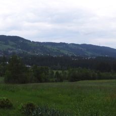
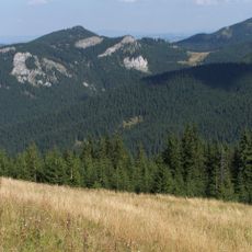
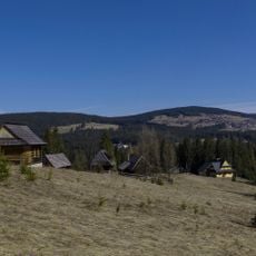
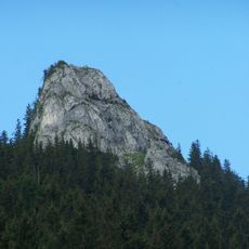
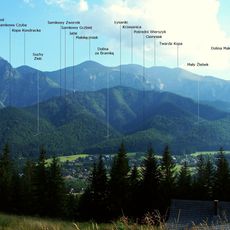
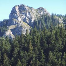
Gmina Kościelisko is a rural municipality in southern Poland near the Slovak border, made up of three main villages. The area covers mountainous terrain and sits on the edge of Tatra National Park.
The municipality was established in 1999 during Poland's local government reforms as one of five districts in Tatra County. The region's settlement history goes back centuries into the foothills of the Tatras.
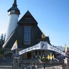
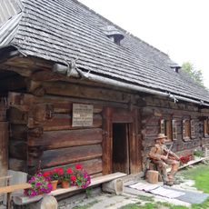
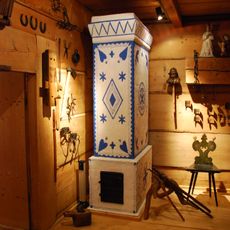
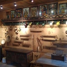
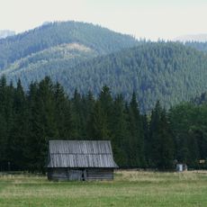
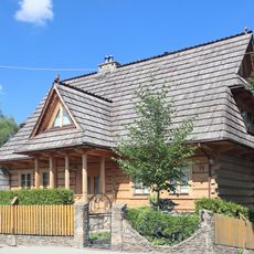
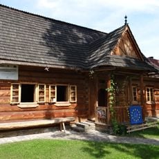
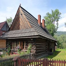
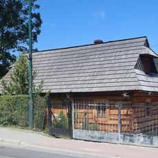
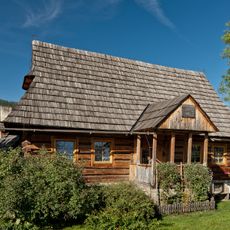
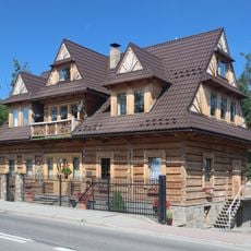
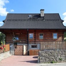
The villages here keep highland traditions alive through wooden buildings and mountain farming practices that families have maintained for generations. You'll notice how the architecture and daily routines reflect a way of life shaped by the surrounding peaks.
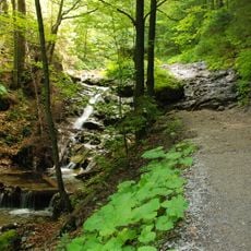
This area is a starting point for hikes into the national park and offers direct access to mountain trails. Wear good hiking boots since the terrain is hilly and many paths are unpaved.
The municipality borders Slovakia while also connecting to three neighboring Polish districts. This border location gives the area a distinct character shaped by its position between countries.
Location: Tatra County
Capital city: Kościelisko
Elevation above the sea: 29 m
Shares border with: Gmina Czarny Dunajec, Gmina Poronin, Zakopane
Website: http://koscielisko.com.pl
GPS coordinates: 49.29083,19.88833
Latest update: December 11, 2025 11:05
Gubałówka
2.7 km
Muttergottes von Fatima
2.6 kmSkigebiet Butorowy Wierch
1.7 km
Dolina za Bramką
3 km
Dłuski Sanatorium in Zakopane
1.2 km
Sabała-Hütte
2.2 km
Hruby Regiel
2.6 km
Palenica Kościeliska
1.4 km
Chałupa Gąsieniców Sobczaków
3.5 km
Mietłówka
2.3 km
Kończysta Turnia
3.1 km
Samkowa Czuba
3.5 km
Dziura w Czerwonym Groniku
2.8 km
Schronik w Kończystej Turni
3.1 km
Dziura w Żlebku
3.2 km
Jaskinia Niska
3.1 km
Okap w Kończystej Turni
3.1 km
Muzeum Tatrzańskie. Chałupa Gąsieniców Sobczaków
3.5 km
Przednia Kościeliska Kopka
2.7 km
Butorowski Wierch
1.8 km
76 Kościeliska Street in Zakopane
3.3 km
Łukaszczyk's hut in Zakopane
3.6 km
2 Droga do Rojów Street in Zakopane
3.6 km
78 Kościeliska Street in Zakopane
3.2 km
Zagroda
3.4 km
Farmhouse of the Sieczka family in Zakopane
3.5 km
Zagroda
3.7 km
Zagroda
3.4 kmVisited this place? Tap the stars to rate it and share your experience / photos with the community! Try now! You can cancel it anytime.
Discover hidden gems everywhere you go!
From secret cafés to breathtaking viewpoints, skip the crowded tourist spots and find places that match your style. Our app makes it easy with voice search, smart filtering, route optimization, and insider tips from travelers worldwide. Download now for the complete mobile experience.
A unique approach to discovering new places❞
— Le Figaro
All the places worth exploring❞
— France Info
A tailor-made excursion in just a few clicks❞
— 20 Minutes