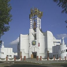
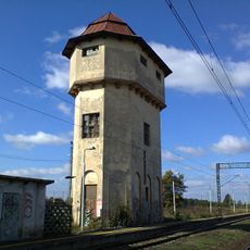
Rajgród, Medieval town in Podlaskie Voivodeship, Poland
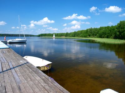
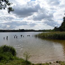
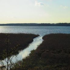
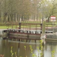
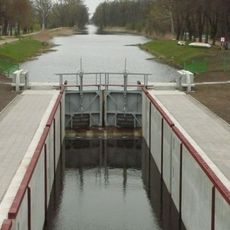
Rajgród is a town in Podlaskie Voivodeship situated on elevated terrain between Lake Rajgrodzkie and the Jegrznia River. It combines urban areas with natural surroundings spread across the river valley.
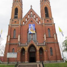
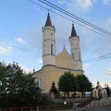
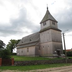
The settlement developed from a Yotvingian stronghold and received town rights in 1568. It was developed as a fortified frontier town under Polish rule during the medieval period.
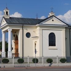
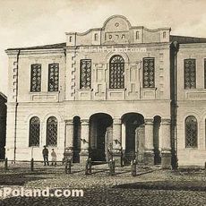
The town became a center for Jewish life starting in 1587, with communities actively engaged in commerce and the fish trade. These groups shaped the town's social and economic character for centuries.
The town sits in northern Poland and is easily accessible by car or bus from other regional cities. Most points of interest can be explored on foot since the main areas are close to each other.
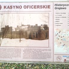
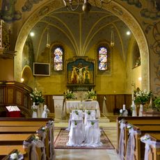
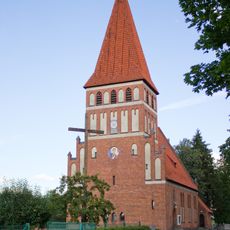
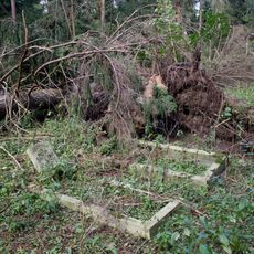
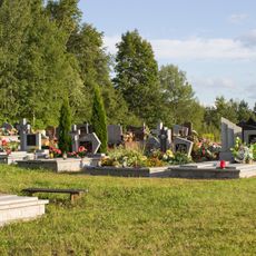
The town housed a large Jewish cemetery and synagogue that shaped religious life for centuries, with these spaces reflecting the deep roots of families who lived and worshipped here. These sites hold memories of generations that called the place home.
Location: Gmina Rajgród
GPS coordinates: 53.73028,22.69250
Latest update: December 7, 2025 20:41
Ełcka Kolej Wąskotorowa
10.5 km
Boundary marker in Bogusze
16.6 km
Dębowo Lock
20.6 km
Our Lady of Perpetual Help church in Grajewo
17.8 km
Selmęt Mały
22.1 km
Church in Gabowe Grądy
18.1 km
Holy Trinity church in Grajewo
18.1 km
Church of the Nativity of the Virgin Mary in Rajgród
390 m
Kasyno oficerskie w Grajewie
18 km
Rezerwat przyrody Jezioro Kolno
21.7 km
Opartowo manor in Rajgród
1.7 km
Białobrzegi Lock
20.1 km
Borki Lock
14.9 km
Exaltation of the Holy Cross church in Ostrykół
17.6 km
Exaltation of the Holy Cross church in Bargłów Kościelny
9.4 km
Church of the Assumption in Kalinowo
16 km
Wieża ciśnień w Grajewie
18.4 km
Chapel of Kneeled Jesus in Augustów
22.2 km
Centrum Tradycji Mleczarstwa - Muzeum Mleka
17.2 km
Our Lady Queen of Poland church in Pisanica
12.8 km
12 Szkolna Street in Grajewo
18.5 km
Synagogue in Grajewo
18.3 km
Ioannes Paulus II church in Grajewo
19.1 km
Cmentarz parafialny w Grajewie
18.5 km
Cemetery in Grądzkie Ełckie
13.3 km
Cmentarz ewangelicki w Romanowie
11.6 km
Kościół ewangelicki, ob. rzym.-kat. Podwyższenia Krzyża
17.6 km
Kasyno oficerskie
17.9 kmVisited this place? Tap the stars to rate it and share your experience / photos with the community! Try now! You can cancel it anytime.
Discover hidden gems everywhere you go!
From secret cafés to breathtaking viewpoints, skip the crowded tourist spots and find places that match your style. Our app makes it easy with voice search, smart filtering, route optimization, and insider tips from travelers worldwide. Download now for the complete mobile experience.
A unique approach to discovering new places❞
— Le Figaro
All the places worth exploring❞
— France Info
A tailor-made excursion in just a few clicks❞
— 20 Minutes