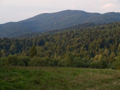
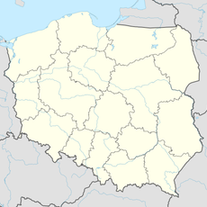
Łopiennik - 1069 m npm Bieszczady, Mountain summit in Bieszczady Mountains, Poland.
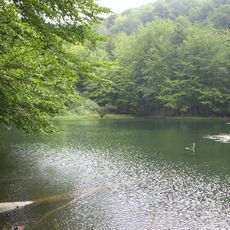
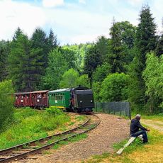
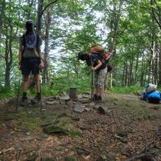
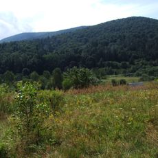
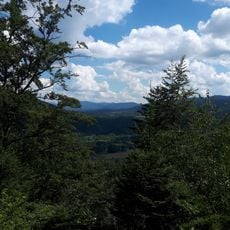
Łopiennik is a forested summit reaching 1069 meters (3507 feet) in the Bieszczady Mountains, with clearly marked trails leading to its peak from various starting points. The mountain is covered with dense woodland and features multiple routes of varying difficulty levels for hikers.
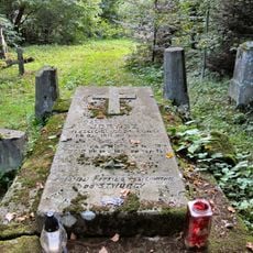
The mountain served as a strategic location during regional conflicts, and visitors can still see remnants of military observation posts built on its slopes. These structures are evidence of the region's complex past and its important role in territorial control.
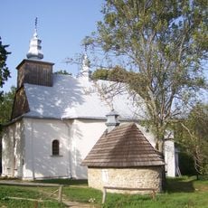
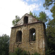
The trails reveal ruins of old settlements and small chapels scattered across the slopes, offering glimpses into communities that once lived in this mountain region. Visitors walking these paths encounter reminders of how people shaped the land for generations.
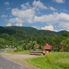
The summit is accessible via several marked trails from different base points, with routes designed for various fitness levels and experience. Visitors should come prepared with sturdy footwear and rain gear, as mountain weather can change quickly at this elevation.
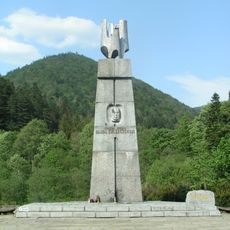
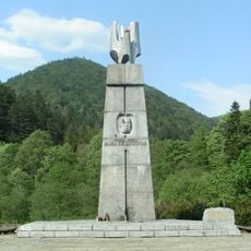
At the summit sits a geodetic survey point and a plaque commemorating Zygmunt Kaczkowski's 1833 expedition through the Bieszczady region. This marking serves as a reminder of an important historical exploration journey that shaped knowledge of the mountains.
The community of curious travelers
AroundUs brings together thousands of curated places, local tips, and hidden gems, enriched daily by 60,000 contributors worldwide.