Chest opened
+${chestReward.xp} XP
Explorer
NOUVEAU ×${chestReward.collectible.quantity}
tapez pour fermer
Chest locked

Open chests in the app

Around Us is built for your phone — chests unlock when you walk, explore and capture nearby places.

Enable Location

We need your location to show you interesting places around you

Discover nearby places

Find interesting locations and hidden gems around you

Precise directions

Get accurate directions and distances to places

Your location is never shared with other users. It's only used when you tap the location button.

Log in to your account

Start exploring — it's free

Trusted by 73,010 travelers worldwide

Continue with Google
Continue with Apple
or

We will send you a code to connect

By continuing, you accept our Terms and Conditions and our Privacy Policy

Check your inbox

We've sent a pincode in your inbox. Please enter the code below.

Przełęcz Woliborska
Discussion Reviews Photo
1.1k Popularity

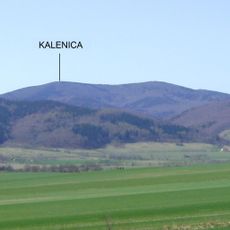
Przełęcz Woliborska, przełęcz w Górach Sowich

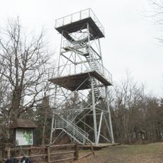
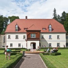
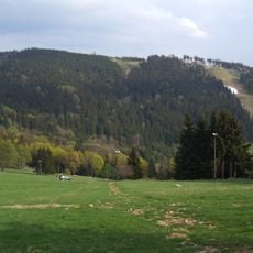
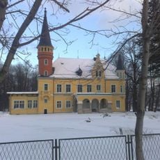
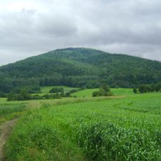
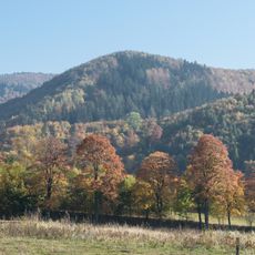
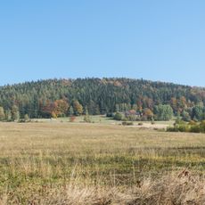
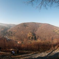
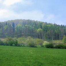
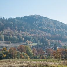
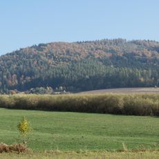
Przełęcz Woliborska is a mountain pass situated at approximately 711 meters elevation on the main ridge of the Sowie Mountains, separating the Popielak ridge from the Szeroka massif. The terrain shows rolling slopes with forests and rocky outcrops, and facilities include a parking area and shelter at the summit for visitors stopping during their hikes.

This route served medieval traders traveling between Czech and Silesian regions for trade purposes. During the 19th century, a coal transport road passed through here, linking mines in Nowa Ruda with textile factories in Bielawa.

Hikers naturally gather at this location to rest and exchange experiences about the surrounding trails and views. The spot reflects how walkers in the region stop to enjoy fresh mountain air and the quiet sounds of the forest before heading onward.

The pass is accessible by regional road 384 with parking available at the top, making it convenient for day trips. Mountain weather here can be unpredictable and conditions change rapidly, so prepare with sturdy footwear, appropriate layers, and a map or GPS device, especially before winter visits.

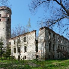
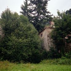
A mountain shelter named Volpersdorfer Plänel-Baude operated here starting in 1932 until its destruction during World War II, leaving only a parking area and modern shelter in its place today. This earlier structure's role in the region's mountain tourism development often goes unnoticed by visitors.

The community of curious travelers

AroundUs brings together thousands of curated places, local tips, and hidden gems, enriched daily by 60,000 contributors worldwide.

Start exploring
GPS coordinates
50.62331,16.58754
Latest update
December 20, 2025 12:00
Reviews
Share your experience

No review yet

Discussions
Start a discussion...

No discussion yet

« Przełęcz Woliborska - przełęcz w Górach Sowich » is provided by Around Us (aroundus.com). Images and texts are derived from Wikimedia project under a Creative Commons license. You are allowed to copy, distribute, and modify copies of this page, under the conditions set by the license, as long as this note is clearly visible.

Discover hidden gems everywhere you go!

From secret cafés to breathtaking viewpoints, skip the crowded tourist spots and find places that match your style. Our app makes it easy with voice search, smart filtering, route optimization, and insider tips from travelers worldwide. Download now for the complete mobile experience.

Around Us App Screenshot

A unique approach to discovering new places

Le Figaro

All the places worth exploring

France Info

A tailor-made excursion in just a few clicks

20 Minutes

Around Us
Travel Guide & Maps
Download

Send to your phone

QR Code
1

Open the camera app on your mobile.

2

Point at the QR code with your camera. A notification will appear.

3

Tap the notification to open the link.