
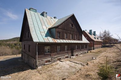
WOP post in Graniczne Budy, zlikwidowany pododdział graniczny
Location: Kowary
Inception: March 1953
Part of: Polish-Czechoslovak border, Czech Republic–Poland border
GPS coordinates: 50.74831,15.82364
Latest update: March 3, 2025 19:59
Sztolnie Kowary
2 km
Tafelstein
2.3 km
Schwarze Koppe
3.9 km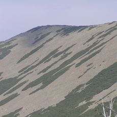
Czarny Grzbiet (Karkonosze)
4.9 km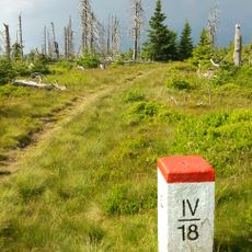
Łysocina
2.5 km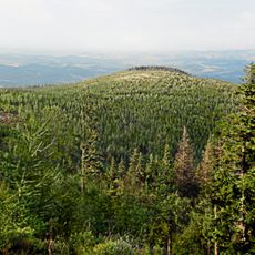
Wołowa Góra
2.2 km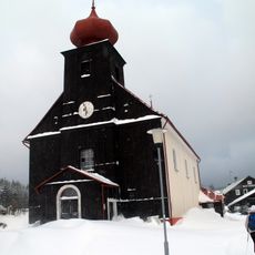
Church of Saint Peter and Paul
2.8 km
Pomezní bouda
269 m
Löwen Berg
4.3 km
Treasures of the Earth JUNA
4.8 km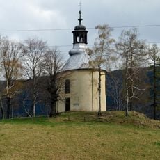
Saint Anne chapel in Kowary
4.5 km
Dům čp. 37 Šímovy Chalupy
4.5 km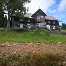
Dům čp. 34 Šímovy Chalupy
4.8 km
Dům čp. 124 Šímovy Chalupy
4.6 km
Dům č.30 Šímovy Chalupy
4.9 km
Dům čp. 35 Šímovy Chalupy
4.6 km
House no. 46, Horní Malá Úpa
786 m
Chapel of the Nativity
4.5 km
Modrý pavilon
4.7 km
Dům čp. 36 Šímovy Chalupy
4.7 km
Dům čp. 48
4.1 km
Fara
2.8 km
Dům čp. 66
3 km
Cemetery in Malá Úpa
2.8 km
1 Wiejska Street in Kowary
4.4 km
2 Kowalska Street in Kowary
4.9 km
Średniak
3.9 km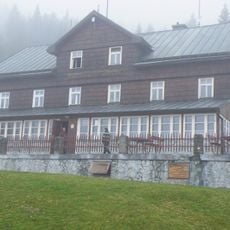
Lysečinská bouda
4 kmReviews
Visited this place? Tap the stars to rate it and share your experience / photos with the community! Try now! You can cancel it anytime.
Discover hidden gems everywhere you go!
From secret cafés to breathtaking viewpoints, skip the crowded tourist spots and find places that match your style. Our app makes it easy with voice search, smart filtering, route optimization, and insider tips from travelers worldwide. Download now for the complete mobile experience.

A unique approach to discovering new places❞
— Le Figaro
All the places worth exploring❞
— France Info
A tailor-made excursion in just a few clicks❞
— 20 Minutes