Młociny, Administrative district in Bielany, Warsaw, Poland.
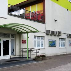
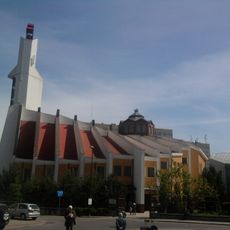
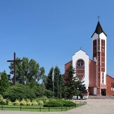
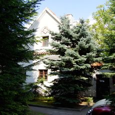
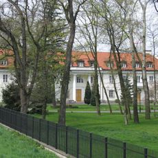
Młociny is a residential district in northern Warsaw combining apartment buildings with substantial green areas and forest sections. The neighborhood extends across several zones and contains a transit hub that serves as a major connection point for the city.
The area transformed from agricultural lands into a residential district during Warsaw's urban expansion in the late 20th century. This change reflected the city's need to accommodate population growth through planned suburban development.
The district draws its name from wetland origins that once shaped the landscape, reflecting the area's relationship with nature. Residents today use the green spaces for daily activities, maintaining this connection to their surroundings.
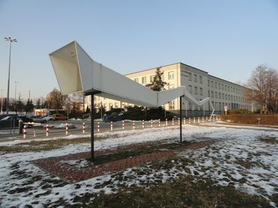
The M1 Metro line terminates in this district, providing direct access to central Warsaw. The transport hub allows easy transfers between metro, bus, and tram services for visitors moving through the area.
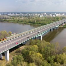
Two park-and-ride facilities near the metro station allow commuters to switch between private cars and public transportation smoothly. These facilities support a practical approach to reducing traffic congestion in the wider city area.
Location: Bielany
Location: Warsaw
GPS coordinates: 52.31134,20.92046
Latest update: December 10, 2025 16:27
Maria Skłodowska-Curie Bridge, Warsaw
2.1 km
Brühl Palace
1.2 km
Saint James church in Warsaw Tarchomin
1.6 km
Italian Soldiers Cemetery in Warsaw
2.1 km
Młociny Park
566 m
Camaldolese Church
3.2 km
Mostowski Palace in Tarchomin
1.5 km
Fort I
2.4 km
Farma wuja Toma – Dyniolandia
2.4 km
Bielany Cultural Centre in Warsaw
3 km
Saint Ignatius of Loyola church in Wólka Węglowa
2.2 km
Kościół NMP Królowej Polski
975 m
László O'sváth monument in Warsaw
2.9 km
Kościół Niepokalanego Poczęcia Najświętszej Maryi Panny w Warszawie
2.6 km
Willa
3 km
Saint Francis of Assisi church in Warsaw-Nowodwory
2.8 km
Immaculate Conception of the Blessed Virgin Mary Church in Warsaw
3.2 km
Erem eremitorium fundacji Jana Kazimierza (nr 10) - kancelaria parafialna
3.2 km
Irena Jarocka Park in Warsaw
3.1 km
Our Lady, Mother of Fair Love church in Warsaw
2.7 km
Erem fundacji arcybiskupa gnieźnieńskiego Jana Stefana Wydżgi (nr 1) - stróżówka
3.2 km
Erem eremitorium fundacji Władysława IV, tzw. erem królewski (nr 9) - dom proboszcza
3.2 km
Grób Staszica
3.2 km
Archidiecezjalne Seminarium Misyjne Redemptoris Mater w Warszawie
951 m
Oficyna, tzw. pałac
1.5 km
Zespół willi
3 km
Zespół klasztorny kamedułów
3.2 km
Dworek
1.5 kmVisited this place? Tap the stars to rate it and share your experience / photos with the community! Try now! You can cancel it anytime.
Discover hidden gems everywhere you go!
From secret cafés to breathtaking viewpoints, skip the crowded tourist spots and find places that match your style. Our app makes it easy with voice search, smart filtering, route optimization, and insider tips from travelers worldwide. Download now for the complete mobile experience.
A unique approach to discovering new places❞
— Le Figaro
All the places worth exploring❞
— France Info
A tailor-made excursion in just a few clicks❞
— 20 Minutes