Enable Location

We need your location to show you interesting places around you

Discover nearby places

Find interesting locations and hidden gems around you

Precise directions

Get accurate directions and distances to places

Your location is never shared with other users. It's only used when you tap the location button.

Celorico de Basto

Log in to your account

Start exploring — it's free

Trusted by 66,247 travelers worldwide

Continue with Google
Continue with Apple
or

We will send you a code to connect

By continuing, you accept our Terms and Conditions and our Privacy Policy

Check your inbox

We've sent a pincode in your inbox. Please enter the code below.

Discussion Reviews 1 Photos
18.2k Popularity

Celorico de Basto, municipality of Portugal

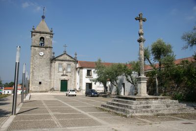
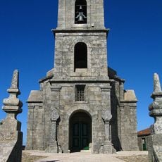
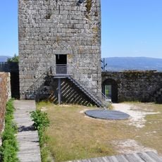
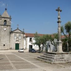
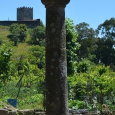
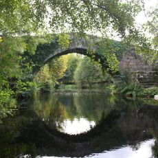
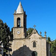
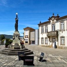
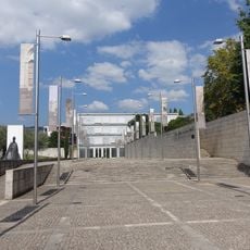
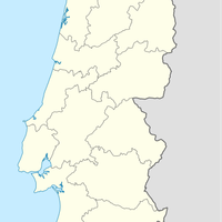
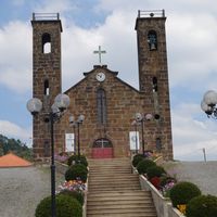
Celorico de Basto is a municipality in the Braga region of northwestern Portugal, set in the valley of the Tamega River and surrounded by forested hills. The area covers several villages built in stone, along with historic churches and the Castelo de Arnoia standing on a nearby hill.

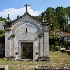
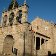
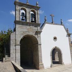
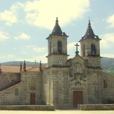
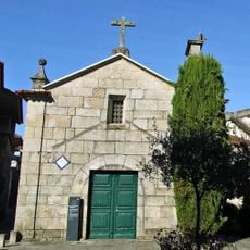
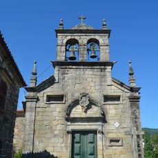
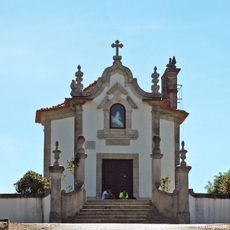
The area was a strategic point in medieval times, and the Castelo de Arnoia was built to defend the Tamega valley from attack. Over time, monasteries and chapels were established throughout the municipality, turning it into a religious center in this corner of northern Portugal.

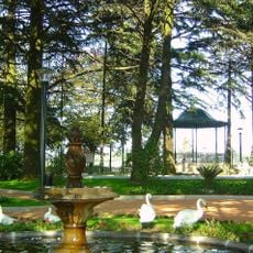
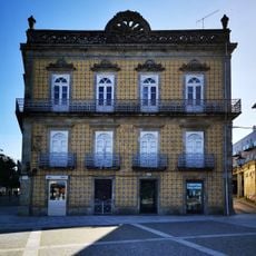
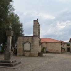
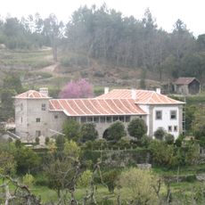
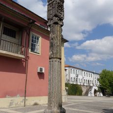
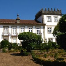
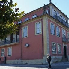
Celorico de Basto is known for its camellia season, when gardens and public spaces fill with pink, white, and red flowers each spring. Several stone manor houses called solares, decorated with azulejo tile panels, can be seen along the roads through the municipality.

The municipality is best explored by car, as its villages are spread across the hills and not always easy to reach on foot. Paths along the Tamega River are good for walking, and the Alto do Viso viewpoint offers a broad view over the surrounding valleys.

Celorico de Basto is one of the municipalities along the Rota do Romanico, a network of medieval churches and chapels crossing northern Portugal that few visitors know about before arriving. Some of these buildings date back to the 11th and 12th centuries and still stand in their original form.

The community of curious travelers

AroundUs brings together thousands of curated places, local tips, and hidden gems, enriched daily by 60,000 contributors worldwide.

Start exploring
Location
Shares border with
Cabeceiras de Basto, Fafe, Mondim de Basto, Amarante, Felgueiras
GPS coordinates
41.38689,-8.00217
Latest update
March 3, 2026 10:13
Reviews
Share your experience

No review yet

Discussions
Start a discussion...

No discussion yet

« Celorico de Basto - municipality of Portugal » is provided by Around Us (aroundus.com). Images and texts are derived from Wikimedia project under a Creative Commons license. You are allowed to copy, distribute, and modify copies of this page, under the conditions set by the license, as long as this note is clearly visible.

Discover hidden gems everywhere you go!

From secret cafés to breathtaking viewpoints, skip the crowded tourist spots and find places that match your style. Our app makes it easy with voice search, smart filtering, route optimization, and insider tips from travelers worldwide. Download now for the complete mobile experience.

Around Us App Screenshot

A unique approach to discovering new places

Le Figaro

All the places worth exploring

France Info

A tailor-made excursion in just a few clicks

20 Minutes

Around Us
Travel Guide & Maps
Download

Send to your phone

QR Code
1

Open the camera app on your mobile.

2

Point at the QR code with your camera. A notification will appear.

3

Tap the notification to open the link.