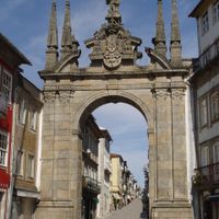
Braga, Administrative district in northern Portugal
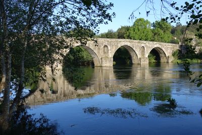
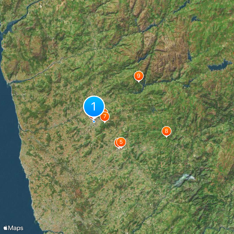
Braga is an administrative district in northwestern Portugal spanning roughly 2,673 square kilometers. The area encompasses fourteen municipalities positioned between the Cávado River on its western side and the Spanish border to the east.
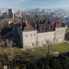
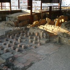
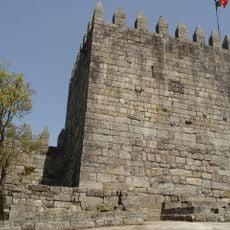
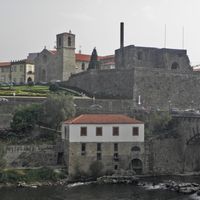
The district was established in 1835 during Portugal's administrative reforms. This land was previously inhabited by Celtic tribes known as the Bracari, whose presence still echoes in the region's identity today.
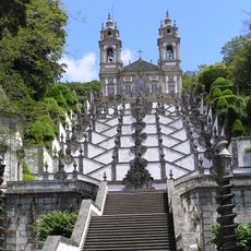
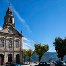
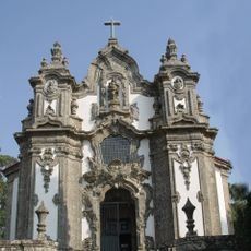
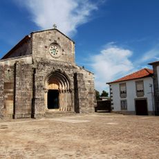
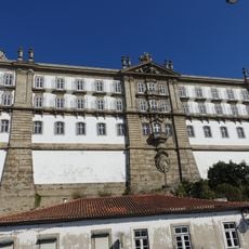
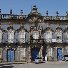
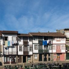
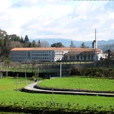
Religious celebrations shape how communities here gather and mark important occasions throughout the year. People maintain long-standing traditions in food, crafts, and local festivals that bring neighborhoods together.
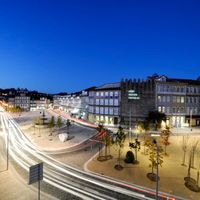
The region connects well to other Portuguese cities through highways, railways, and bus services. The main city of Braga functions as the central transportation hub for exploring the surrounding area and its municipalities.
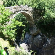
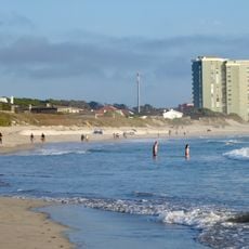
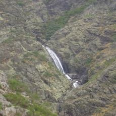
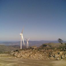
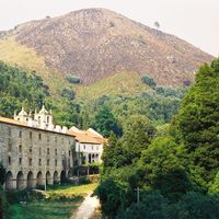
The area brings together contrasting landscapes within a single region. Atlantic beaches near Esposende stand in sharp contrast to mountain ranges like Serra Amarela and Serra do Gerês to the east, offering two completely different experiences.
Location: Portugal
Inception: January 1, 1835
Capital city: Braga
Shares border with: Viana do Castelo, Vila Real, Porto, Ourense
GPS coordinates: 41.54417,-8.42194
Latest update: December 17, 2025 09:30
Estádio Municipal de Braga
2.2 km
Bom Jesus do Monte
3.9 km
Estádio D. Afonso Henriques
14.9 km
Castle of Guimarães
15.3 km
Braga Cathedral
784 m
Basilique Notre-Dame de Sameiro
4.4 km
The Stone house
30.2 km
Santuário de São Bento da Porta Aberta
24.4 km
Paço dos Duques de Bragança
15.4 km
Monastery of São Martinho de Tibães
5 km
Bom Jesus do Monte Funicular
3.6 km
Bracara Augusta
0 m
Bridge of Mizarela
37.3 km
Citânia de Briteiros
9 km
Santa Maria Madalena Church
3.8 km
Igreja de São Pedro de Rates
24.8 km
Castelo da Dona Chica
5 km
Praia de Ofir
30.6 km
Monastery of Santa Clara
34 km
Estádio 1º de Maio
587 m
Nature Park of Alvão
53 km
Palácio do Raio
469 m
Citânia de Sanfins
24.8 km
Serra de Arga
37.9 km
Museu dos Biscainhos
1 km
Castelo de Lanhoso
12.6 km
Historic Centre of Guimarães
15.7 km
Abbaye de Singeverga
22.6 kmVisited this place? Tap the stars to rate it and share your experience / photos with the community! Try now! You can cancel it anytime.
Discover hidden gems everywhere you go!
From secret cafés to breathtaking viewpoints, skip the crowded tourist spots and find places that match your style. Our app makes it easy with voice search, smart filtering, route optimization, and insider tips from travelers worldwide. Download now for the complete mobile experience.
A unique approach to discovering new places❞
— Le Figaro
All the places worth exploring❞
— France Info
A tailor-made excursion in just a few clicks❞
— 20 Minutes