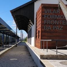
Almeida, municipality of Portugal
Description
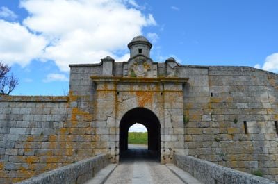
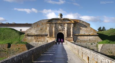
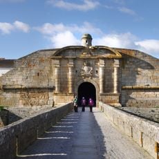
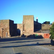
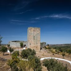
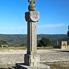
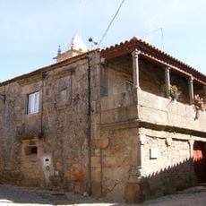
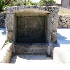
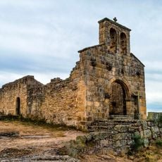
Almeida is a settlement in the Guarda area, known for its medieval fortified layout with strong defensive walls surrounding the community. The town features a notable castle positioned on elevated ground and a significant gateway that controlled access to the interior.
History
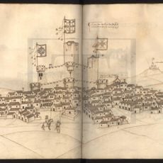
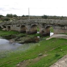
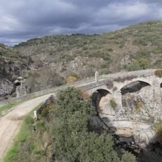
The settlement was established in the 12th century and served as a crucial defensive position during conflicts between Portugal and Spain at the border. The fortifications were significantly reinforced in the 17th century to strengthen protection against invasions.
Culture
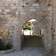
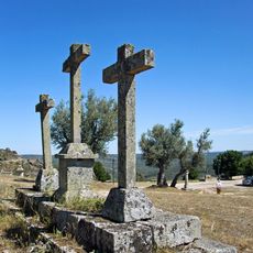
The name derives from Arabic origins, reflecting the long Moorish presence that shaped this region. This heritage remains visible in the layout of narrow streets and fortified structures that visitors encounter throughout the settlement.
Practical
Visitors can walk along the fortified walls and explore the town on foot through various paths that offer views of the surrounding countryside. Morning visits work best since the narrow streets are less crowded and easier to navigate at that time.
Did you know?
The fortified perimeter features an unusual star-shaped geometric design that resulted from defensive improvements made in the early modern period. This distinctive layout remains clearly visible and sets it apart from other medieval fortifications found across the region.
AroundUs brings together thousands of curated places, local tips, and hidden gems, enriched daily by 60,000 contributors worldwide. Discover all places nearby (Guarda).
Royal Fortress of the Concepcion
8.9 km
Castle Fortress of Almeida
160 m
Praça-forte de Almeida
22 m
Castle of Castelo Mendo
15.3 km
Santuário de Nossa Senhora da Ajuda
21.2 km
Castle of Castelo Bom
11.7 km
Vilar Formoso Fronteira da Paz – Memorial aos Refugiados e ao Cônsul Aristides de Sousa Mendes
14.8 km
Castle of Vilar Maior
27.9 km
Anta da Pedra de Anta
24 km
Igreja Matriz de São Miguel de Malhada Sorda
21.3 km
Corpo da Guarda Principal em Almeida
135 m
Igreja de Nossa Senhora da Anunciação (Leomil)
11.2 km
Ponte Romana sobre o Rio Seco
4.9 km
Igreja Paroquial de Almeida
130 m
Sepulturas escavadas na rocha em Malpartida
4.8 km
Ponte Grande sobre o rio Côa
3.4 km
Cruzeiro dos Centenários (Castelo Mendo)
15.1 km
Casa do Fidalgo
11.6 km
Pelourinho de Castelo Mendo
15.2 km
Pelourinho de Vale de Coelha
6.3 km
Igreja Paroquial de Malpartida
4.7 km
Fontes em Leomil
11.2 km
Fonte de Mergulho em Castelo Bom
11.8 km
Calvário
15 km
Igreja de Santa Maria do Castelo (Castelo Mendo)
15.3 km
Calvário em Castelo Bom
11.7 km
Casa do Largo da Igreja
11.7 km
Fonte de Espaldar em Castelo Bom
11.9 km
Malhada Sorda
São Pedro de Rio Seco
Vale da Mula
Nave de Haver
Freixo
Freineda
Vilar Formoso
Castelo Bom
Amoreira, Parada e Cabreira
Castelo Mendo, Ade, Monteperobolso e Mesquitela
Junça e Naves
Leomil, Mido, Senouras e Aldeia Nova
Malpartida e Vale de Coelha
Miuzela e Porto de Ovelha
Almeida
Azinhal, Peva e Valverde
Discover hidden gems everywhere you go!
From secret cafés to breathtaking viewpoints, skip the crowded tourist spots and find places that match your style. Our app makes it easy with voice search, smart filtering, route optimization, and insider tips from travelers worldwide. Download now for the complete mobile experience.
A unique approach to discovering new places❞
— Le Figaro
All the places worth exploring❞
— France Info
A tailor-made excursion in just a few clicks❞
— 20 Minutes