Vila de Rei, municipality and town of Portugal
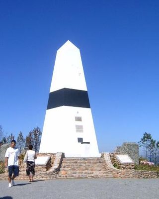
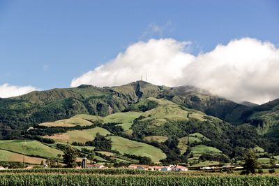
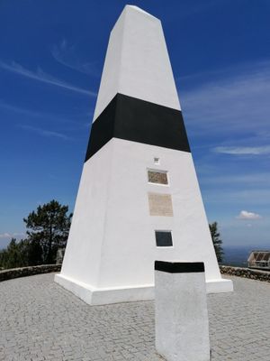
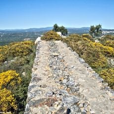
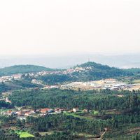
Vila de Rei is a municipality in central Portugal in the Médio Tejo region, located at the geographic center point where the country would fold into four equal parts. The landscape features rolling mountains reaching nearly 600 meters high, surrounded by forests and rivers including the Isna, Codes, and Zêzere, with the Picoto da Melriça marking the country's geographic center.
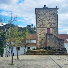
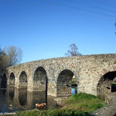
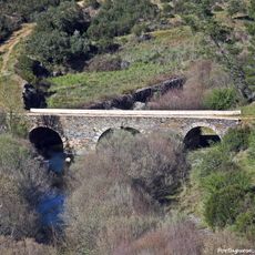
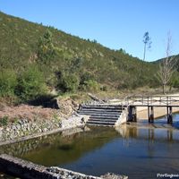
The Roman-era Bridge of Three Councils connects Vila de Rei with neighboring municipalities and represents centuries of human activity in the region. Traditional water mills and presses in Água Formosa have operated for generations, showing how local communities have long relied on water power for their livelihood and craft production.
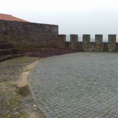
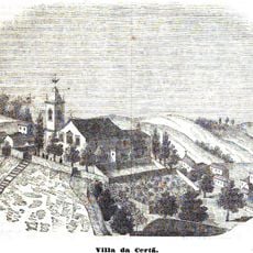
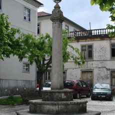
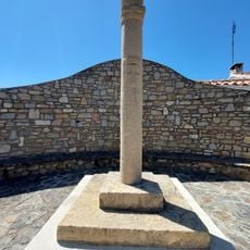
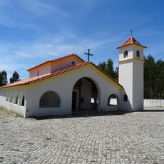
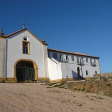
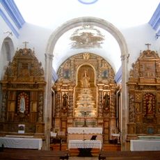
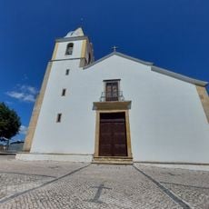
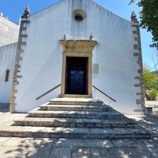
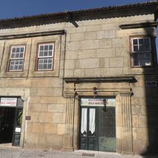
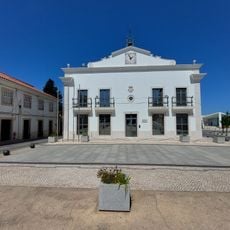
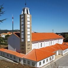
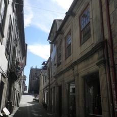
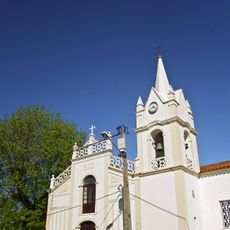
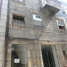
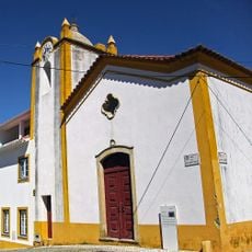
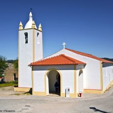
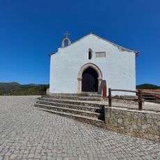
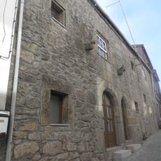
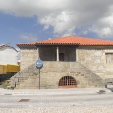
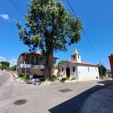
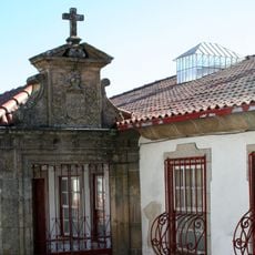
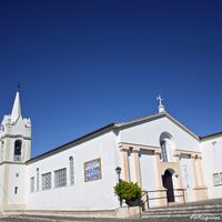
Vila de Rei is a small town where traditional ways of life remain visible in narrow streets, stone houses, and old churches that define the community. Local craft traditions and water-powered mills in nearby Água Formosa show how residents have long lived in harmony with their landscape, preserving simple farming methods and artisanal practices.
Vila de Rei is accessible by road with a local train station and good connections to nearby towns. Visitors can find comfortable lodging options including hotels and rural houses offering views of the countryside or rivers, providing peaceful bases for exploring the area.
Vila de Rei occupies a remarkable geographic position: if you fold a map of Portugal in half four times, this location appears at the exact crossing point, making it the symbolic center of the country. The Picoto da Melriça in nearby Serra da Melriça marks the nation's actual geographic center, where visitors can stand at this notable point and observe the surrounding mountains.
The community of curious travelers
AroundUs brings together thousands of curated places, local tips, and hidden gems, enriched daily by 60,000 contributors worldwide.