Enable Location

We need your location to show you interesting places around you

Discover nearby places

Find interesting locations and hidden gems around you

Precise directions

Get accurate directions and distances to places

Your location is never shared with other users. It's only used when you tap the location button.

Marvão

Log in to your account

Start exploring — it's free

Trusted by 61,628 travelers worldwide

Continue with Google
Continue with Apple
or

We will send you a code to connect

By continuing, you accept our Terms and Conditions and our Privacy Policy

Check your inbox

We've sent a pincode in your inbox. Please enter the code below.

Marvão

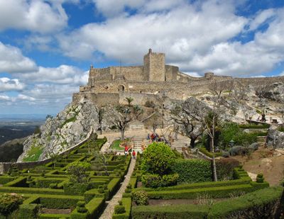
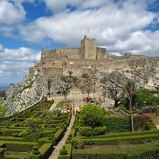
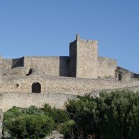
Marvão, Medieval town in Alto Alentejo, Portugal

Description

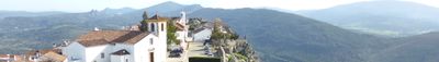
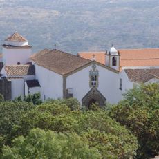
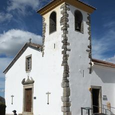
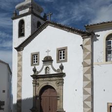
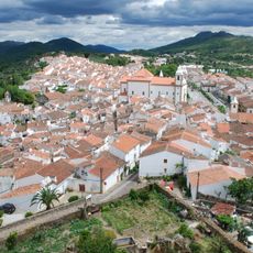
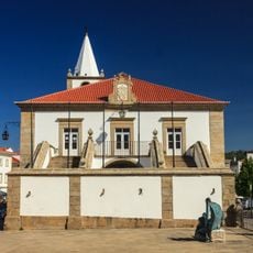
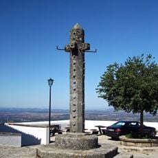
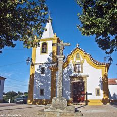
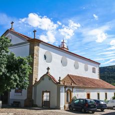
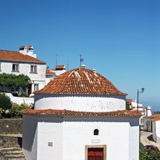
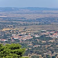
Marvão is a medieval municipality at 865 meters elevation in Alto Alentejo, where white stone houses with red tile roofs sit within granite walls. The castle overlooks the settlement, while the parish church of Santa Maria stands at the center and preserves artworks from earlier centuries.

History

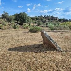
The settlement was founded in the 9th century when Ibn Marwan established a defensive position that later became a Christian fortress in 1166. This transformation marked the shift from Islamic to Christian Portugal.

Culture

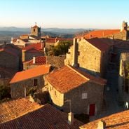
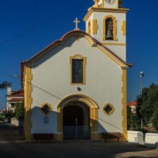
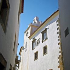
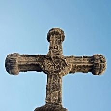
The church of Santa Maria holds religious artworks that reflect the faith of earlier generations. The low bell tower and narrow streets reveal how this place served as a spiritual center for the region.

Practical

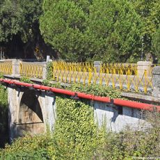
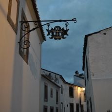
The settlement sits on a hilltop with steep access roads and narrow paved streets best explored on foot. Visitors should wear sturdy shoes and allow time for walking through this compact, elevated area.

Did you know?

The paved streets feature letterboxes built directly into the walls of residential buildings, a distinctive detail throughout the settlement. This practical and aesthetic solution shows how residents use the limited space of the hilltop efficiently.

Location
Part of
Bulwarked Fortifications of the "Raia" (Border)
Shares border with
Castelo de Vide, Portalegre
GPS coordinates
39.39417,-7.37722
Latest update
December 6, 2025 16:02

AroundUs brings together thousands of curated places, local tips, and hidden gems, enriched daily by 60,000 contributors worldwide. Discover all places nearby (Portalegre).

Portugal off the beaten path: villages, coasts, islands

Portugal extends well beyond its main tourist centers. Away from the established routes lie medieval villages like Monsanto, where granite houses wedge themselves between massive boulders, or the fortified hilltop town of Marvão overlooking the Spanish border. Peneda-Gerês National Park spreads...

« Marvão - Medieval town in Alto Alentejo, Portugal » is provided by Around Us (aroundus.com). Images and texts are derived from Wikimedia project under a Creative Commons license. You are allowed to copy, distribute, and modify copies of this page, under the conditions set by the license, as long as this note is clearly visible.

Discover hidden gems everywhere you go!

From secret cafés to breathtaking viewpoints, skip the crowded tourist spots and find places that match your style. Our app makes it easy with voice search, smart filtering, route optimization, and insider tips from travelers worldwide. Download now for the complete mobile experience.

Around Us App Screenshot

A unique approach to discovering new places

Le Figaro

All the places worth exploring

France Info

A tailor-made excursion in just a few clicks

20 Minutes

Around Us
Travel Guide & Maps
Download

Send to your phone

QR Code
1

Open the camera app on your mobile.

2

Point at the QR code with your camera. A notification will appear.

3

Tap the notification to open the link.