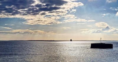
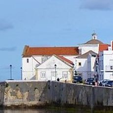
Mar da Palha, Coastal cove in Lisbon region, Portugal.
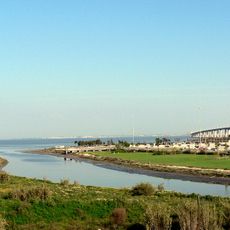
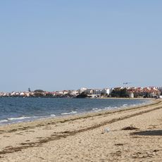
Mar da Palha is a broad bay in the Tagus estuary, near Alcochete in Portugal, where the river widens so much that it resembles an inland sea. The water is shallow and crossed by shifting mudflats that change shape with every tide.
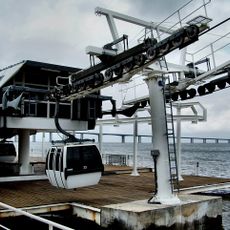
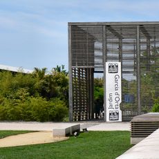
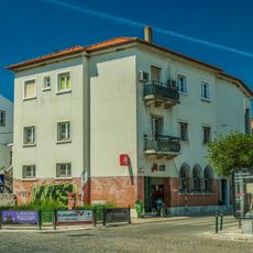
For centuries this bay served as a key transit point for goods moving between Lisbon and the interior of the country, where large ships transferred cargo to smaller vessels. The bay's shape was formed by sediment the Tagus has been depositing here since long before written records.
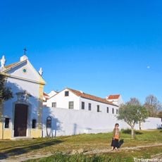
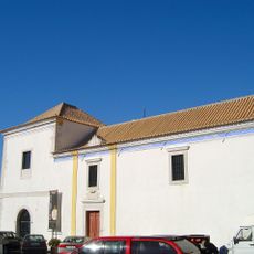
The local name Mar da Palha, meaning 'sea of straw', reflects how people here have long related to the water as something wild and alive rather than just a river. Fishermen from surrounding towns still read the tides and winds the way their predecessors did.
Anyone going out on the water should be aware that navigation channels shift with the tides and shallow areas can become unpredictable very quickly. Birdwatchers tend to find the best conditions in spring and autumn, when migratory species stop along the shore in large numbers.
The name of the bay comes from straw and plant debris carried downstream by the Tagus, which collects on the surface and gives the water a yellowish tint in calm weather. This is most visible after heavy rain inland, when the river carries more material with it.
The community of curious travelers
AroundUs brings together thousands of curated places, local tips, and hidden gems, enriched daily by 60,000 contributors worldwide.