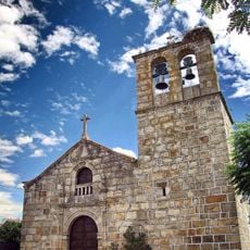
Segura, Border fortress in Castelo Branco, Portugal
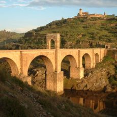
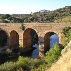
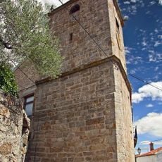
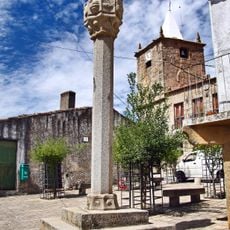
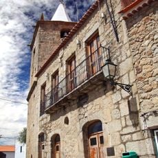
Segura is a border fortress in Castelo Branco located on the right bank of the Erges River, characterized by granite buildings and steep winding streets. The settlement is anchored by a Roman bridge with five arches spanning roughly 92 meters, which once connected Portugal to neighboring territories.
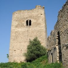
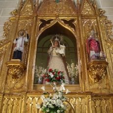
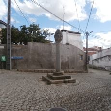
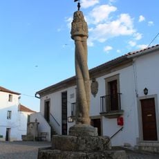
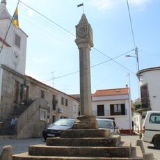
The fortress was granted to the Military Order of Christ in 1319 and served as a key defensive position along the Portuguese border for over 500 years. Its strategic importance shaped the region's development and determined its role in protecting the realm.
The village keeps alive traditional metalworking and embroidery traditions that visitors can observe in local workshops today. These crafts tell the story of how communities maintained their skills and identity over time.
The village is best explored on foot through its steep streets and around the bridge crossing to fully experience the hillside setting. Comfortable walking shoes are advisable given the uneven terrain and inclines throughout the settlement.
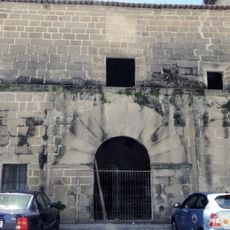
The PR4 Mining Route reveals former extraction sites for lead, tin, and tungsten with abandoned factory buildings that mark the industrial heritage of the location. This trail shows how mining shaped the economic life of the settlement over several centuries.
Location: Castelo Branco
GPS coordinates: 39.81861,-7.00973
Latest update: December 12, 2025 16:40
Alcántara Bridge
14.7 km
Alcántara dam
14.6 km
Roman temple of Alcántara
14.8 km
Tagus International Natural Park
17.3 km
Ponte de Segura
2.4 km
San Benito de Alcántara
15.3 km
Peñafiel Castle
11.6 kmDólmenes de Alcántara
15.9 km
Peña Buraca
7 km
Menhir del Cabezo
10.6 km
Iglesia de San Pedro de Alcántara, Alcántara
15.1 km
Fortaleza de Segura
2.7 km
Church of Santa María de Almocóvar, Alcántara
15.1 km
Ermita de Nuestra Señora de los Hitos
18.5 km
Castelo de Salvaterra do Extremo
10.8 km
Pelourinho de Salvaterra do Extremo
10.8 km
Ermita de Nuestra Señora de las Angustias
15.4 km
Pelourinho de Segura
2.8 km
Pillory of Rosmaninhal
12.1 km
Pillory of Zebreira
6 km
Alcántara Reservoir
14.6 km
Igreja Matriz de Salvaterra do Extremo
10.9 km
Igreja da Santa Casa da Misericórdia de Salvaterra do Extremo
10.9 km
Plaza de toros de Zarza la Mayor
14.5 km
Igreja de Nossa Senhora da Conceição
2.8 km
Alcántara bullring
15.7 km
Câmara Municipal de Salvaterra do Extremo
10.8 km
Palace of the Topete-Escobar, Alcántara
15.2 kmVisited this place? Tap the stars to rate it and share your experience / photos with the community! Try now! You can cancel it anytime.
Discover hidden gems everywhere you go!
From secret cafés to breathtaking viewpoints, skip the crowded tourist spots and find places that match your style. Our app makes it easy with voice search, smart filtering, route optimization, and insider tips from travelers worldwide. Download now for the complete mobile experience.
A unique approach to discovering new places❞
— Le Figaro
All the places worth exploring❞
— France Info
A tailor-made excursion in just a few clicks❞
— 20 Minutes