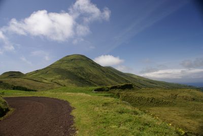
Pico da Esperança, Mountain summit on São Jorge Island, Azores, Portugal.
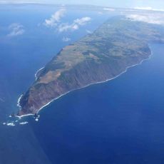
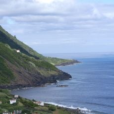
Pico da Esperança is a 1,053-meter (3,455 foot) peak on São Jorge Island, characterized by grasslands at its base and a volcanic crater rim that creates the final ascent to the summit. The mountain shows distinct volcanic features shaped by geological forces.
This summit was formed through volcanic activity over centuries and ranks among the tallest peaks in the Azores archipelago. The island itself developed through repeated geological processes that continue to define the landscape.
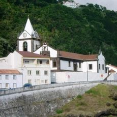
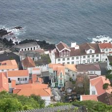
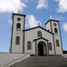
Local herders have shaped the lower slopes of this summit through generations of pastoral farming, where cattle move freely across the mountain throughout the year. This practice forms a key part of how people live and work on São Jorge Island.
The hike starts from a parking area at 785 meters elevation and follows a 5-kilometer trail with clear markings leading to the summit. Weather can change quickly at this altitude, so visitors should be prepared for changing conditions and some steep sections.
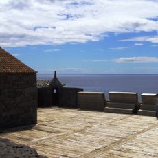
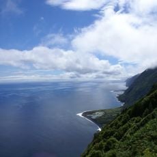
From the summit, visitors can see neighboring islands including Graciosa from a single vantage point, a view that would not be possible from surrounding lower elevations. This unusual sightline is created by the mountain's height and positioning within the archipelago.
The community of curious travelers
AroundUs brings together thousands of curated places, local tips, and hidden gems, enriched daily by 60,000 contributors worldwide.