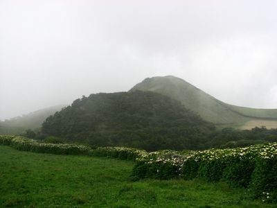
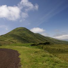
Urzelina, Active volcano in São Jorge Island, Azores, Portugal.
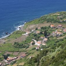
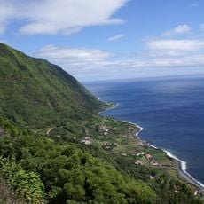
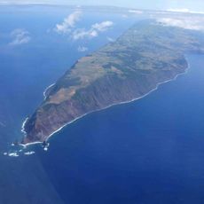
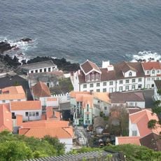
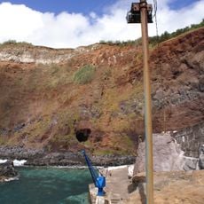
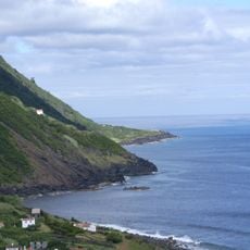
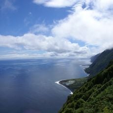
Urzelina is a volcano on São Jorge Island in the Azores, standing at approximately 767 meters with a prominent basalt formation. The geological structure extends from the slopes toward Ponta da Urzelina and clearly shows the volcanic origins of the terrain.
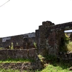
In May 1808, the volcano erupted with ash and lava that devastated the Urzelina parish and resulted in about 30 deaths over roughly 40 days. This event left permanent marks on the landscape and remains a defining moment in the island's history.
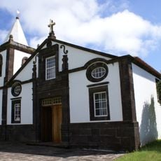
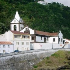
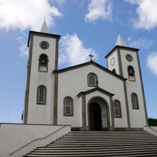
The volcano shapes how people on São Jorge understand their island and its past, with residents passing down stories and knowledge about the 1808 eruption through families and communities. This connection to the dramatic event remains part of how locals relate to their landscape and heritage.
The site requires hiking over hilly and rocky terrain with uneven paths and no marked trails in some sections. Visitors should wear sturdy footwear and bring weather-appropriate clothing, as conditions can change quickly.
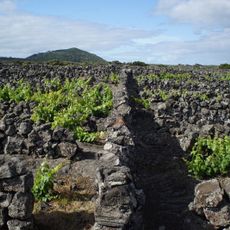
The 1808 eruption created a vast basalt field visible today from the coast to the summit, serving as a window into the island's volcanic past. This rock field is known for its distinct black coloring that starkly contrasts with the surrounding green landscape.
The community of curious travelers
AroundUs brings together thousands of curated places, local tips, and hidden gems, enriched daily by 60,000 contributors worldwide.