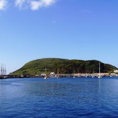
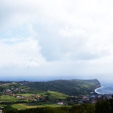
Mount Pico, Dormant stratovolcano in Pico Island, Azores, Portugal
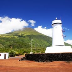
Mount Pico rises to 2,351 meters above sea level, featuring a crater 500 meters wide and a small volcanic cone called Piquinho at its summit.
Mount Pico's eruptions have come from flank vents, not the summit crater. In 1562–1564 a southeast-flank eruption sent lava flows to the sea, and another flank eruption in 1718 also reached the coast. The most recent eruption occurred in December 1720.
The mountain's name appears in the common Portuguese phrase "pôr o Pico em cima da ilha", used of someone who overreaches. The upper slopes, from 1,200 metres to the summit, form the Reserva Natural da Montanha do Pico, created by Regional Decree 15/82/A in 1982 after an initial classification in March 1972. At the base of Piquinho, fumaroles give off water vapour at 50 to 75 °C.
The ascent from Casa da Montanha follows 47 numbered markers along the trail, requiring a reservation system that limits access to 160 hikers per day.
The PICO-NARE observatory near the summit studies air currents and particles from across the North Atlantic. The station operates at this remote altitude and collects data on air quality and climate patterns over more than two decades.
The community of curious travelers
AroundUs brings together thousands of curated places, local tips, and hidden gems, enriched daily by 93,120 contributors worldwide.