Azores, Volcanic archipelago in North Atlantic, Portugal.
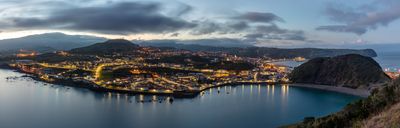
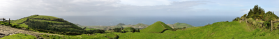
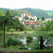
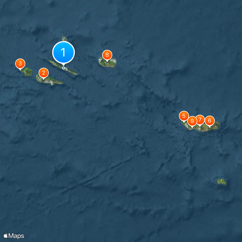
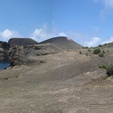
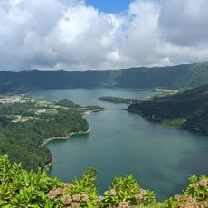
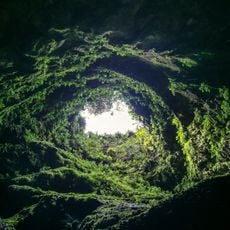
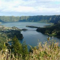
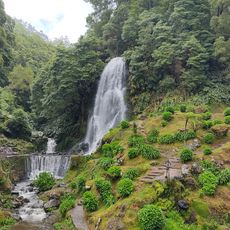
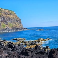
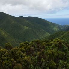
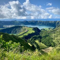
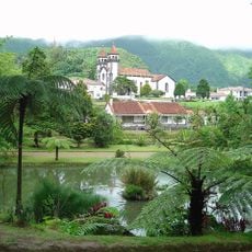
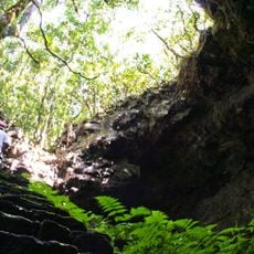
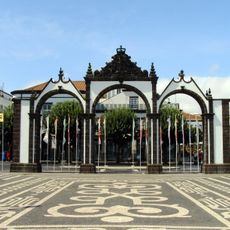
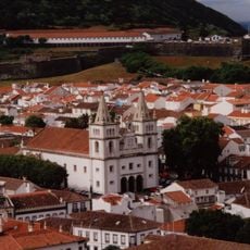
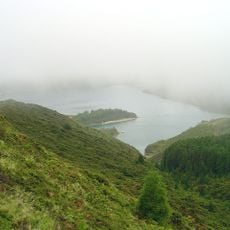
The Azores are an island group in the North Atlantic belonging to Portugal, located roughly 1500 kilometers west of the mainland. The nine islands stretch across 600 kilometers of ocean and display mountain peaks, crater lakes, green pastures, black sand beaches, and active geothermal zones.
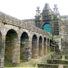
Portuguese navigators established the first permanent settlement in 1432 on Santa Maria island, which led to gradual colonization of the entire archipelago until 1452. Throughout the following centuries, the islands became an important stopover for ships crossing the Atlantic between Europe and the Americas.
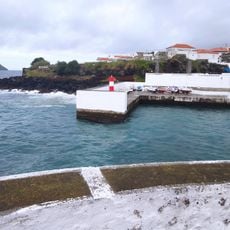
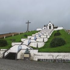
Traditional Festas do Espírito Santo bring entire communities together during summer months, when neighbors share beef stews and bread in open-air celebrations with street processions. Many villages still keep livestock in small pastures enclosed by stone walls, while fishermen land fresh tuna and limpets daily at harbors across the islands.
Travelers reach the islands through international airports on São Miguel, Terceira, and Faial, with connections between islands by plane or ferry. Weather conditions change quickly, so waterproof clothing and flexible planning work best for hikes or boat trips.
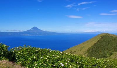
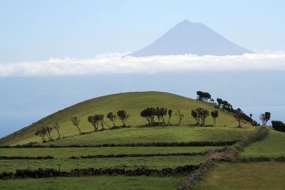
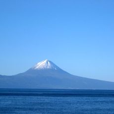
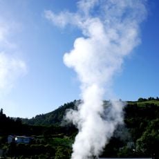
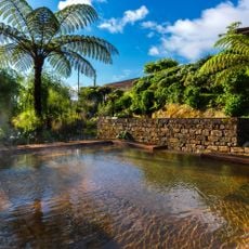
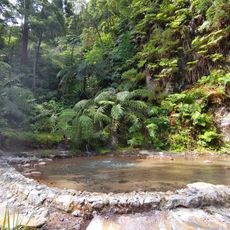
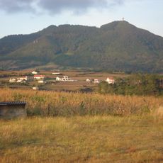
Mount Pico rises 2351 meters above sea level, forming Portugal's highest peak and part of the most extensive mountain range measured from the ocean floor. On São Miguel, locals bathe in natural thermal pools by the sea, where water is heated by underground volcanic activity.
Location: Portugal
Location: Açores (NUTS 2)
Inception: 1976
Capital city: Ponta Delgada
Elevation above the sea: 2,351 m
Part of: Macaronesia
Website: https://azores.gov.pt
GPS coordinates: 38.62400,-28.03100
Latest update: December 15, 2025 01:35
The Azores archipelago stretches about 1500 kilometers off the coast of Portugal in the Atlantic Ocean. The nine islands were born through volcanic activity, creating a land of unusual sights: craters turned into lakes, hot springs bubbling from the ground, caves formed naturally in the rocks, and...
Mount Pico
36.4 km
Baía do Refugo
79.4 km
Capelinhos
69.8 km
Furnas
255.9 km
Miradouro da Vista do Rei
214.1 km
Poça da Dona Beija
255.5 km
Caldeira Velha
240.3 km
Algar do Carvão
71.8 km
Augusto Arruda Pineapple Plantation
230 km
Sete Cidades Massif
214 km
Parque Natural da Ribeira dos Caldeirões
256.7 km
Ponta da Ferraria
208.7 km
Gorreana
246.8 km
Chapel of Nossa Senhora das Vitórias
255.5 km
Viewpoint of Santa Iria
241.6 km
Pico da Vara
262.7 km
Boca do Inferno Viewpoint
216.5 km
Parque Terra Nostra
255.9 km
Gruta das Torres
43.5 km
Puertas de la Ciudad
229 km
Our Lady of Peace Chapel
248.4 km
Pico Alto
316.6 km
Fort of São João Baptista
70 km
Igreja de São Sebastião
229 km
Centro Histórico de Angra do Heroísmo
70.6 km
Água de Pau
243.2 km
Convent of Nossa Senhora da Esperança
228.7 kmVulcão da Serreta
52.5 kmVisited this place? Tap the stars to rate it and share your experience / photos with the community! Try now! You can cancel it anytime.
Discover hidden gems everywhere you go!
From secret cafés to breathtaking viewpoints, skip the crowded tourist spots and find places that match your style. Our app makes it easy with voice search, smart filtering, route optimization, and insider tips from travelers worldwide. Download now for the complete mobile experience.
A unique approach to discovering new places❞
— Le Figaro
All the places worth exploring❞
— France Info
A tailor-made excursion in just a few clicks❞
— 20 Minutes