Pico Alto, Mountain summit in Pico Island, Portugal
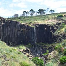
Pico Alto is a volcanic summit on Pico Island in Portugal, rising approximately 2,350 meters above sea level. A crater bowl around 500 meters across sits at its peak, with a smaller volcanic cone called Piquinho rising from the center.
The volcano erupted several times between 1562 and 1720, sending lava flows toward the ocean and reshaping the surrounding land. These eruption phases created the mountain's present form and the geological features visitors see today.
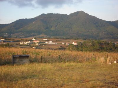
The mountain holds deep meaning for Pico Island residents, shaping their sense of place and appearing throughout local stories and traditions. People here have organized their lives around its slopes for generations, making it central to how they understand their home.
Visitors must register at Casa da Montanha, located around 1,200 meters elevation, where staff provide GPS trackers and monitor safety during the climb. The team gives guidance on route conditions and what to expect along the way up.
An atmospheric research observatory sits on the summit plateau and continuously monitors particles and air quality over the Atlantic Ocean. The readings from this high altitude location provide valuable data for understanding air pollution patterns across the region.
GPS coordinates: 36.98315,-25.09064
Latest update: December 12, 2025 07:52
Church of Nossa Senhora da Assunção
6 km
Hermitage of Nossa Senhora dos Anjos
6.2 km
LORAN Station (Santa Maria)
4 km
Fort of São Brás
6.5 km
Gonçalo Velho Lighthouse
8.9 km
Church of Santa Bárbara
2 km
Praia do Fogo
85.5 km
Aveiro waterfall
7.3 km
Reserva Florestal de Recreio das Fontinhas
2.8 km
Formigas Lighthouse
42.3 km
Church of Nossa Senhora do Bom Despacho
2.5 km
Convent of São Francisco
5.7 km
Protected Landscape of Barreiro da Faneca
2.7 km
Lagar of Diogo Fernandes Faleiro
7.4 km
Ponta Garca Lighthouse
85 km
Fort of São João Baptista of Praia Formosa
3.6 km
Recreational Forest Reserve of Valverde
4.8 km
Monumento Natural da Pedreira do Campo, do Figueiral e Prainha
5.3 km
Cascade of the stream of Maloás
6.2 km
Fort Prainha
3.9 km
Chapel of Nossa Senhora de Lurdes
3.2 km
Raposo Bay Waterfall
3.1 km
Ponta do Malmerendo Light
7.6 km
Praia da Amora
85.7 km
Church of Nossa Senhora do Rosário (Povoação)
86.2 km
Igreja de Nossa Senhora do Rosário, Praça Velha, Mãe de Deus
86.2 km
Edifício dos Paços do Concelho, Mãe de Deus,
86.1 km
Junta de Freguesia de Vila do Porto
5.6 kmVisited this place? Tap the stars to rate it and share your experience / photos with the community! Try now! You can cancel it anytime.
Discover hidden gems everywhere you go!
From secret cafés to breathtaking viewpoints, skip the crowded tourist spots and find places that match your style. Our app makes it easy with voice search, smart filtering, route optimization, and insider tips from travelers worldwide. Download now for the complete mobile experience.
A unique approach to discovering new places❞
— Le Figaro
All the places worth exploring❞
— France Info
A tailor-made excursion in just a few clicks❞
— 20 Minutes