
Iara, village in Cluj County, Romania
Location: Iara
Elevation above the sea: 465 m
GPS coordinates: 46.55000,23.51667
Latest update: March 9, 2025 00:21
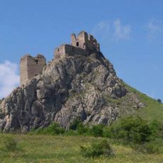
Trascău Fortress
14.1 km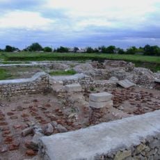
Castra Potaissa
19.7 km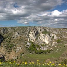
Tureni-Copaceni Gorge
16 km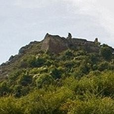
Liteni Castle
9 km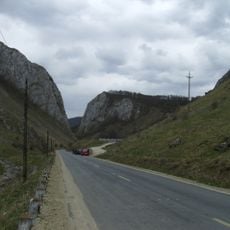
Cheile Vălișoarei
20.1 km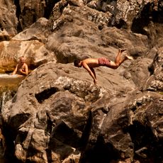
Ciucaş Fall
12.5 km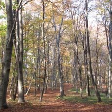
Făgetul Clujului
18.5 km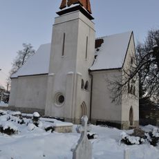
Archdiocesan church of Feleacu
20.1 km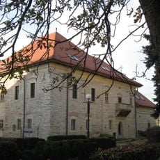
Turda princely palace
20.7 km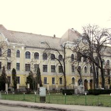
Mihai Viteazul National College (Turda)
20.2 km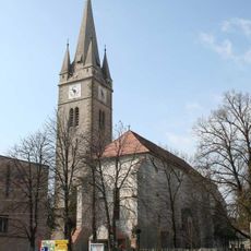
Reformed church of Turda-Veche
20.7 km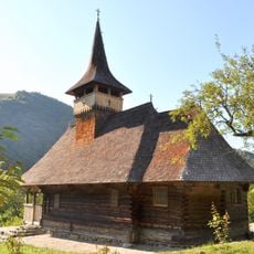
Wooden church in Sub Piatră, Alba
18.1 km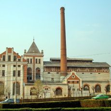
Turda Brewery
20.2 km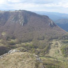
Vidalyi vörösfenyő-rezervátum
10.3 km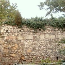
Fortification of Turda
20.7 km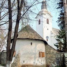
Reformed church of Turda-Nouă
19.9 km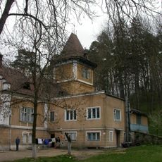
Mikes castle in Săvădisla, Cluj
14.4 km
Cheile Plaiului
16.2 km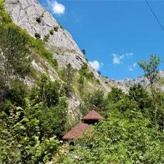
Podságai-szoros
13.7 km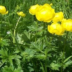
Cheile Siloșului
14.7 km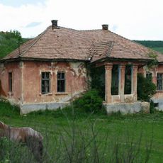
Castelul Veres din Pruniș, Cluj
10.5 km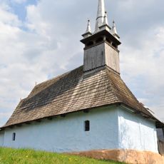
Wooden church in Surduc, Cluj
2.7 km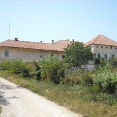
Vitéz-kúria
17.6 km
Wooden church of the Archangels in Livada, Petreștii de Jos, Cluj
5.8 km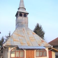
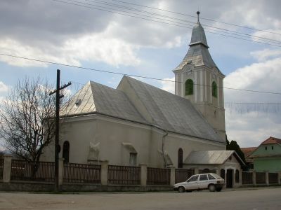
Saints Michael and Gabriel church in Iara, Cluj
870 m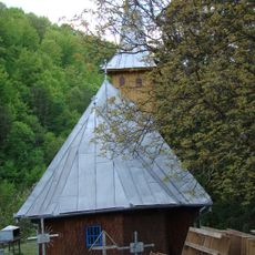
Wooden church in Poșaga de Sus
14.1 km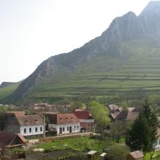
Rimetea rural site
11.5 km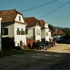
The old villages of Hollókő and Rimetea and their surroundings
12.1 kmReviews
Visited this place? Tap the stars to rate it and share your experience / photos with the community! Try now! You can cancel it anytime.
Discover hidden gems everywhere you go!
From secret cafés to breathtaking viewpoints, skip the crowded tourist spots and find places that match your style. Our app makes it easy with voice search, smart filtering, route optimization, and insider tips from travelers worldwide. Download now for the complete mobile experience.

A unique approach to discovering new places❞
— Le Figaro
All the places worth exploring❞
— France Info
A tailor-made excursion in just a few clicks❞
— 20 Minutes