
Krčedin, village in Inđija municipality, Serbia
Location: Inđija
Elevation above the sea: 122 m
GPS coordinates: 45.14000,20.13222
Latest update: April 3, 2025 13:02
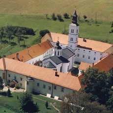
Krušedol monastery
14.9 km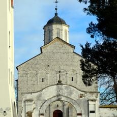
Kovilj Monastery
11.2 km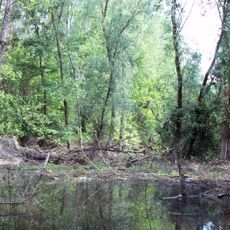
Koviljsko-Petrovaradinski Rit
9.5 km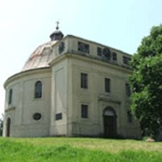
Kapela mira
16.2 km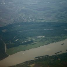
Island of Krčedin
572 m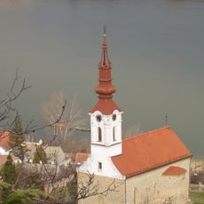
Église Saint-Nicolas de Stari Slankamen
9.9 km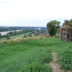
Plateau of Titel
15.1 km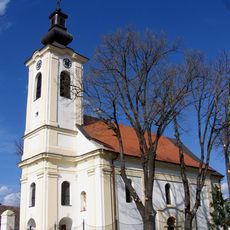
Église Saint-Sava de Maradik
11.8 km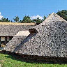
Celtic Village
10.9 km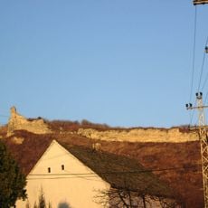
Forteresse de Stari Slankamen
11.7 km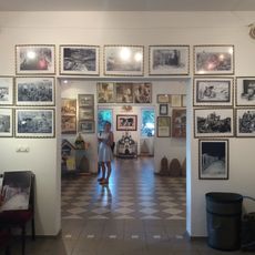
Museum of beekeeping
16.4 km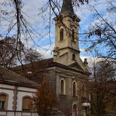
Église Saint-Pierre d'Inđija
10.9 km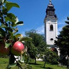
Église de la Présentation de la Mère-de-Dieu à Inđija
10.9 km
Crkva Sretenja Gospodnjeg
14.6 kmСрпска православна црква Сретења у Новим Карловцима
7.5 km
Église Saint-Thomas de Kovilj
13.1 km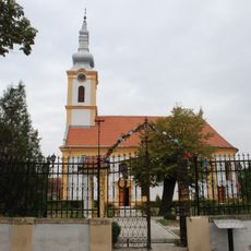
Église de la Présentation de la Mère-de-Dieu à Beška
5.3 km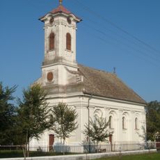
Église Saint-Élie de Lok
10.4 km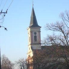
Église Saint-Michel de Novi Slankamen
10.6 km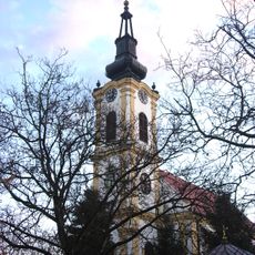
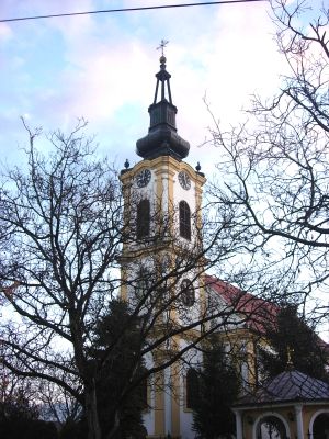
Église Saint-Nicolas de Krčedin
92 m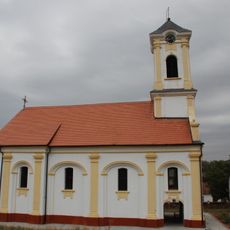
Saint Nicholas Church
8.9 km
National Library „dr Đorđe Natošević”
11 km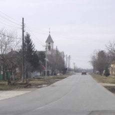
Église Saint-Stefan-Dečanski de Vilovo
12.1 km
Groblje na Magarećem brdu
16.6 km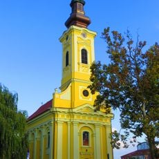
Kirche Hl. Großmärtyrer Dimitri
15.1 km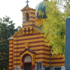
Kapela porodice Nikolić
15.1 km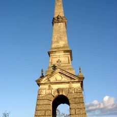
Site de la bataille de Slankamen
10.6 km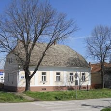
Bâtiment de la Frontière militaire à Krčedin
2 mVisited this place? Tap the stars to rate it and share your experience / photos with the community! Try now! You can cancel it anytime.
Discover hidden gems everywhere you go!
From secret cafés to breathtaking viewpoints, skip the crowded tourist spots and find places that match your style. Our app makes it easy with voice search, smart filtering, route optimization, and insider tips from travelers worldwide. Download now for the complete mobile experience.

A unique approach to discovering new places❞
— Le Figaro
All the places worth exploring❞
— France Info
A tailor-made excursion in just a few clicks❞
— 20 Minutes