
Čador, Berggipfel in Serbien
Location: Serbia
Elevation above the sea: 884 m
GPS coordinates: 42.32444,21.62139
Latest update: July 31, 2025 17:45
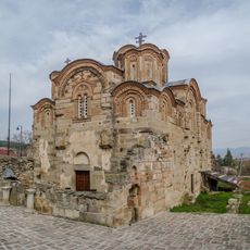
Church of St. George, Staro Nagoričane
22.1 km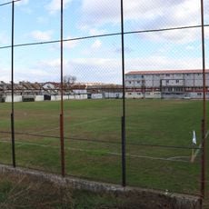
Bashkimi 1947 Stadium
21.6 km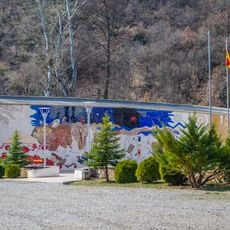
ASNOM Memorial Center
20.1 km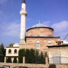
Tatar Sinan Bey Mosque, Kumanovo
22.2 km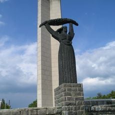
Memorial Ossuary, Kumanovo
21.6 km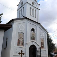
St. Paraskeva of Rome Church, Bedinje
21.3 km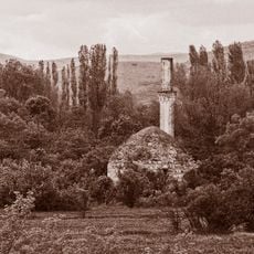
Kodza Mehmet Beg Mosque
13 km
Kumanovo Museum
22.2 km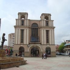
Zanaetchiski Dom
22.5 km
Church St. Nicholas, Kumanovo
22.4 km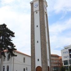
Gjilan Clock Tower
19.8 km
Забелски манастир
20 km
Kodra Fura
18 km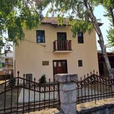
Todorovski House
22.4 km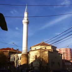
Xhamia Atik
20.3 km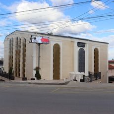
Great Mosque, Bedinje
21.6 km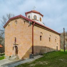
Church of Assumption of the Holy Virgin
20 km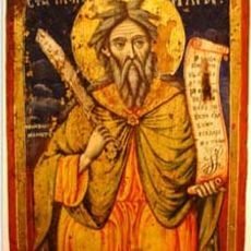
St. Elijah Church
17.7 km
St. George's Church
19.8 km
Kumanovo Icon Gallery
22.4 km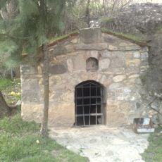
Постница на Прохор Пчински
22 km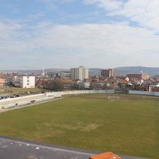
City Stadium
20.4 km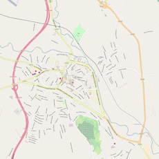
Kumanovo Art Gallery
22.3 km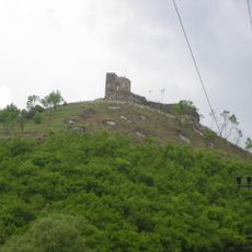
Gradište
12.4 km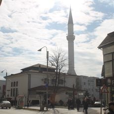
Qarshisë Mosque
20 km
Prosečenik
22.4 km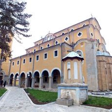
Saint Nicholas Church, Gniljane
20.1 km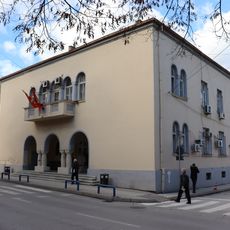
Kumanovo Municipality building
22.2 kmReviews
Visited this place? Tap the stars to rate it and share your experience / photos with the community! Try now! You can cancel it anytime.
Discover hidden gems everywhere you go!
From secret cafés to breathtaking viewpoints, skip the crowded tourist spots and find places that match your style. Our app makes it easy with voice search, smart filtering, route optimization, and insider tips from travelers worldwide. Download now for the complete mobile experience.

A unique approach to discovering new places❞
— Le Figaro
All the places worth exploring❞
— France Info
A tailor-made excursion in just a few clicks❞
— 20 Minutes