Salekhard

Log in to your account

AroundUs is a community-driven map of interesting places, built by curious explorers like you. It grows with every review, story, and photo you share.
Connect to save your favorite spots, contribute locations, and create personalized routes.
By continuing, you accept our Terms and Conditions and our Privacy Policy
Add to collection
Map
Suggest a change
Share

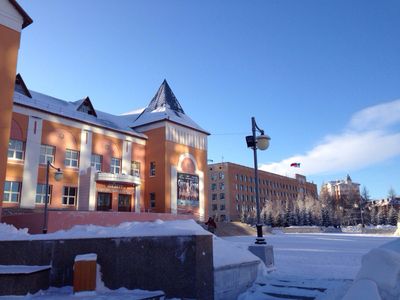
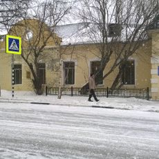
Salekhard, Administrative center in Yamalo-Nenets Autonomous Okrug, Russia

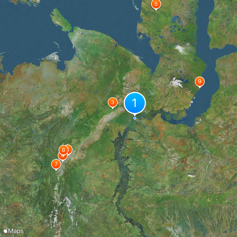
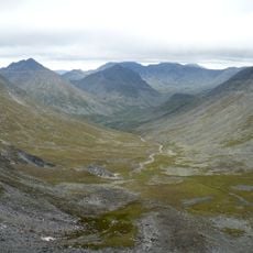
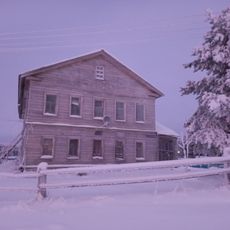
Salekhard is the administrative center of the Yamalo-Nenets Autonomous Okrug and sits at the mouth of the Polui River where it flows into the Ob at 15 meters (49 feet) elevation. The town spreads along the northern banks of both rivers, with the Arctic Circle passing directly through the urban area and dividing the southern districts from the northern neighborhoods.

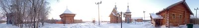
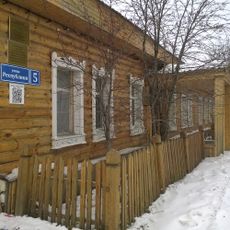
The settlement was founded in 1595 as Obdorsk and served as a rest stop for traders and travelers passing through northern Siberia. In the 20th century the settlement took the name Salekhard and became the center of the newly created autonomous district.

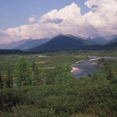
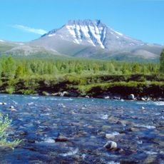
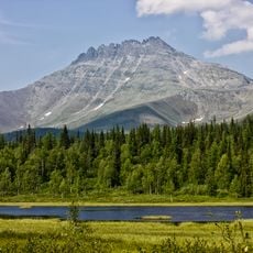
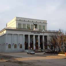
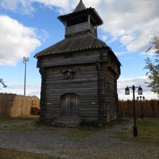
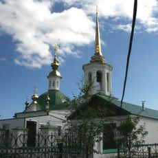
The regional museum carries the name of ethnographer Shemanovsky and preserves objects used by the Nenets, who still lead reindeer herds across the tundra today. The natural specimens on display show the wildlife of the region, including a mammoth calf named Lubya found nearby in 2007.

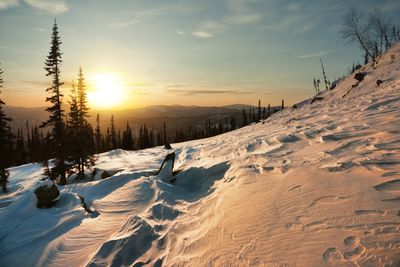
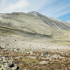
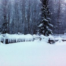
The Ob freezes solid for nine months and allows vehicles to cross directly on the ice, while in summer you need to take ferries. The cold season lasts long and requires warm clothing even during the transition months.

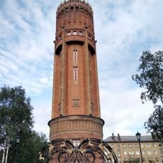
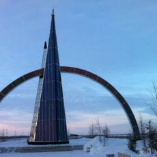
The town center sits one kilometer (half a mile) south of the Arctic Circle, while the northern suburbs already lie beyond this line. A stele with a globe marks the exact course of this geographic boundary within the built-up area.

Location: Salekhard Urban Okrug

Inception: 1595

Elevation above the sea: 15 m

Website: https://salekhard.org

GPS coordinates: 66.53333,66.63333

Latest update: December 4, 2025 14:20

Photos
Around this place
Show the full map
Mount Narodnaya
Russian Federation

Mount Narodnaya

341 km
Polar Ural
Russian Federation

Polar Ural

103.6 km
Virgin Komi Forests
Russian Federation

Virgin Komi Forests

337.7 km
Obskaya–Bovanenkovo Line
Russian Federation

Obskaya–Bovanenkovo Line

435.6 km
Subpolar Ural
Russian Federation

Subpolar Ural

370.9 km
Yugyd Va National Park
Russian Federation

Yugyd Va National Park

420.2 km
Manaraga
Russian Federation

Manaraga

354.6 km
Новопортовский мерзлотник
Russian Federation

Новопортовский мерзлотник

300.2 km
Inta water tower
Russian Federation

Inta water tower

295.9 km
Dvorets Kultury Shakterov
Russian Federation

Dvorets Kultury Shakterov

155.2 km
Peter and Paul Church
Russian Federation

Peter and Paul Church

2.1 km
Харнаурды-Кеу
Russian Federation

Харнаурды-Кеу

119 km
Здание инородческих управ, в котором была провозглашена советская власть в Обдорске (Салехард)
Russian Federation

Здание инородческих управ, в котором была провозглашена советская власть в Обдорске (Салехард)

2.2 km
Obdorsky ostrog
Russian Federation

Obdorsky ostrog

2.3 km
Gorky Cinema
Russian Federation

Gorky Cinema

454.9 km
Polar circle monument
Russian Federation

Polar circle monument

2 km
Торговый дом купца И.Н. Корнилова (Салехард)
Russian Federation

Торговый дом купца И.Н. Корнилова (Салехард)

2.1 km
Здание театра 501-й стройки (Салехард)
Russian Federation

Здание театра 501-й стройки (Салехард)

625 m
Здание начальной школы 501-й стройки (Салехард)
Russian Federation

Здание начальной школы 501-й стройки (Салехард)

573 m
Obdorskoye Cemetery
Russian Federation

Obdorskoye Cemetery

528 m
Дом купца И.А. Рочева-Моторова (Салехард)
Russian Federation

Дом купца И.А. Рочева-Моторова (Салехард)

1.9 km
Фрагмент застройки (2 объекта) (Салехард)
Russian Federation

Фрагмент застройки (2 объекта) (Салехард)

679 m
Обдорское кладбище (Салехард)
Russian Federation

Обдорское кладбище (Салехард)

452 m
Церковь Рождества Пресвятой Богородицы (каменная) (Берёзово)
Russian Federation

Церковь Рождества Пресвятой Богородицы (каменная) (Берёзово)

298.2 km
Спасская церковь (Шеркалы)
Russian Federation

Спасская церковь (Шеркалы)

424.5 km
Церковь Николая Чудотворца — первый православный самоедский (ненецкий) храм в Большеземельской тундре (Колва)
Russian Federation

Церковь Николая Чудотворца — первый православный самоедский (ненецкий) храм в Большеземельской тундре (Колва)

420.5 km
Дом священника и церковно-приходская школа (Колва)
Russian Federation

Дом священника и церковно-приходская школа (Колва)

420.5 km
Памятник В.И. Ленину (Инта)
Russian Federation

Памятник В.И. Ленину (Инта)

296.9 km
Show the full map
Reviews

Visited this place? Tap the stars to rate it and share your experience / photos with the community! Try now! You can cancel it anytime.

« Salekhard - Administrative center in Yamalo-Nenets Autonomous Okrug, Russia » is provided by Around Us (aroundus.com). Images and texts are derived from Wikimedia project under a Creative Commons license. You are allowed to copy, distribute, and modify copies of this page, under the conditions set by the license, as long as this note is clearly visible.

Discover hidden gems everywhere you go!

From secret cafés to breathtaking viewpoints, skip the crowded tourist spots and find places that match your style. Our app makes it easy with voice search, smart filtering, route optimization, and insider tips from travelers worldwide. Download now for the complete mobile experience.

Around Us App Screenshot

A unique approach to discovering new places

Le Figaro

All the places worth exploring

France Info

A tailor-made excursion in just a few clicks

20 Minutes