Enable Location

We need your location to show you interesting places around you

Discover nearby places

Find interesting locations and hidden gems around you

Precise directions

Get accurate directions and distances to places

Your location is never shared with other users. It's only used when you tap the location button.

Labytnangi

Log in to your account

Start exploring — it's free

Trusted by 68,115 travelers worldwide

Continue with Google
Continue with Apple
or

We will send you a code to connect

By continuing, you accept our Terms and Conditions and our Privacy Policy

Check your inbox

We've sent a pincode in your inbox. Please enter the code below.

Discussion Reviews 1 Photos
100k Popularity

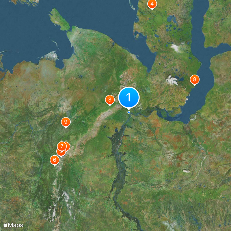
Labytnangi, Transportation hub near Ob River, Yamalo-Nenets Autonomous Okrug, Russia

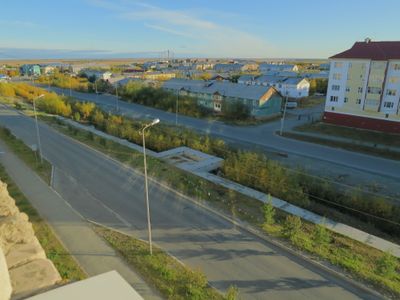
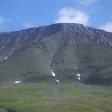
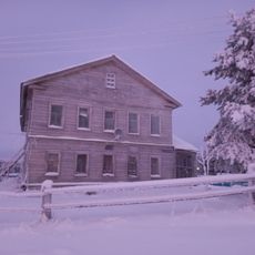
Labytnangi covers 171 square kilometers on the left bank of the Ob River, roughly 20 kilometers northwest of Salekhard. The settlement sits on flat ground above the river, surrounded by the wide landscape of the West Siberian taiga.

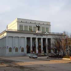
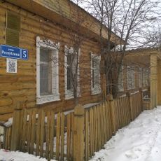
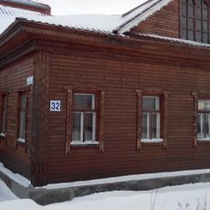
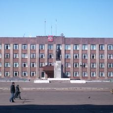
The place began in 1868 as a small community and gradually grew into a workers' settlement. It became an urban settlement in 1952 and was granted city status in 1975.

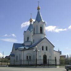
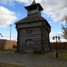
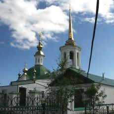
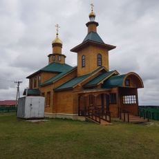
The name comes from the Khanty language and means seven larches, a reminder of the indigenous roots in the Yamal-Nenets region. This connection to the language of native peoples still shapes the identity of the settlement today.

The city sits in the UTC+5 time zone and can be reached via the Konosha-Vorkuta railway line. The postal code is 629400, which may help when planning or making reservations.

The railway connection to European Russia runs through permafrost at an elevation of roughly 10 meters (33 feet) above sea level. This section ranks among the northernmost stretches of track in the Russian rail network.

The community of curious travelers

AroundUs brings together thousands of curated places, local tips, and hidden gems, enriched daily by 60,000 contributors worldwide.

Start exploring
Location
Labytnangi Urban Okrug
Inception
1868
Elevation above the sea
10 m
GPS coordinates
66.65000,66.40000
Latest update
December 12, 2025 23:23
Around this place
Mount Narodnaya
Russian Federation

Mount Narodnaya

337.9 km
Polar Ural
Russian Federation

Polar Ural

89 km
Obskaya–Bovanenkovo Line
Russian Federation

Obskaya–Bovanenkovo Line

424.8 km
Subpolar Ural
Russian Federation

Subpolar Ural

368.1 km
Yugyd Va National Park
Russian Federation

Yugyd Va National Park

418 km
Manaraga
Russian Federation

Manaraga

351 km
Новопортовский мерзлотник
Russian Federation

Новопортовский мерзлотник

303.6 km
Inta water tower
Russian Federation

Inta water tower

287.8 km
Dvorets Kultury Shakterov
Russian Federation

Dvorets Kultury Shakterov

138.7 km
Peter and Paul Church
Russian Federation

Peter and Paul Church

16.3 km
Харнаурды-Кеу
Russian Federation

Харнаурды-Кеу

104.2 km
Здание инородческих управ, в котором была провозглашена советская власть в Обдорске (Салехард)
Russian Federation

Здание инородческих управ, в котором была провозглашена советская власть в Обдорске (Салехард)

16.5 km
Obdorsky ostrog
Russian Federation

Obdorsky ostrog

16.5 km
Здание начальной школы 501-й стройки (Салехард)
Russian Federation

Здание начальной школы 501-й стройки (Салехард)

17.1 km
Gorky Cinema
Russian Federation

Gorky Cinema

448.7 km
Polar circle monument
Russian Federation

Polar circle monument

14.9 km
Торговый дом купца И.Н. Корнилова (Салехард)
Russian Federation

Торговый дом купца И.Н. Корнилова (Салехард)

16.5 km
Здание театра 501-й стройки (Салехард)
Russian Federation

Здание театра 501-й стройки (Салехард)

17.2 km
Obdorskoye Cemetery
Russian Federation

Obdorskoye Cemetery

16.3 km
Дом купца И.А. Рочева-Моторова (Салехард)
Russian Federation

Дом купца И.А. Рочева-Моторова (Салехард)

16.4 km
Фрагмент застройки (2 объекта) (Салехард)
Russian Federation

Фрагмент застройки (2 объекта) (Салехард)

17.2 km
Обдорское кладбище (Салехард)
Russian Federation

Обдорское кладбище (Салехард)

16.3 km
Церковь Рождества Пресвятой Богородицы (каменная) (Берёзово)
Russian Federation

Церковь Рождества Пресвятой Богородицы (каменная) (Берёзово)

308.4 km
Спасская церковь (Шеркалы)
Russian Federation

Спасская церковь (Шеркалы)

436.1 km
Matveev Island Lighthouse
Russian Federation

Matveev Island Lighthouse

452.4 km
Церковь Николая Чудотворца — первый православный самоедский (ненецкий) храм в Большеземельской тундре (Колва)
Russian Federation

Церковь Николая Чудотворца — первый православный самоедский (ненецкий) храм в Большеземельской тундре (Колва)

411.4 km
Дом священника и церковно-приходская школа (Колва)
Russian Federation

Дом священника и церковно-приходская школа (Колва)

411.4 km
Памятник В.И. Ленину (Инта)
Russian Federation

Памятник В.И. Ленину (Инта)

288.8 km
Show the full map
Reviews
Share your experience

No review yet

Discussions
Start a discussion...

No discussion yet

« Labytnangi - Transportation hub near Ob River, Yamalo-Nenets Autonomous Okrug, Russia » is provided by Around Us (aroundus.com). Images and texts are derived from Wikimedia project under a Creative Commons license. You are allowed to copy, distribute, and modify copies of this page, under the conditions set by the license, as long as this note is clearly visible.

Discover hidden gems everywhere you go!

From secret cafés to breathtaking viewpoints, skip the crowded tourist spots and find places that match your style. Our app makes it easy with voice search, smart filtering, route optimization, and insider tips from travelers worldwide. Download now for the complete mobile experience.

Around Us App Screenshot

A unique approach to discovering new places

Le Figaro

All the places worth exploring

France Info

A tailor-made excursion in just a few clicks

20 Minutes

Around Us
Travel Guide & Maps
Download

Send to your phone

QR Code
1

Open the camera app on your mobile.

2

Point at the QR code with your camera. A notification will appear.

3

Tap the notification to open the link.