Chest opened
+${chestReward.xp} XP
Explorer
NOUVEAU ×${chestReward.collectible.quantity}
tapez pour fermer
Chest locked

Open chests in the app

Around Us is built for your phone — chests unlock when you walk, explore and capture nearby places.

Enable Location

We need your location to show you interesting places around you

Discover nearby places

Find interesting locations and hidden gems around you

Precise directions

Get accurate directions and distances to places

Your location is never shared with other users. It's only used when you tap the location button.

Log in to your account

Start exploring — it's free

Trusted by 72,889 travelers worldwide

Continue with Google
Continue with Apple
or

We will send you a code to connect

By continuing, you accept our Terms and Conditions and our Privacy Policy

Check your inbox

We've sent a pincode in your inbox. Please enter the code below.

Kalach
Discussion Reviews Photo
25.7k Popularity

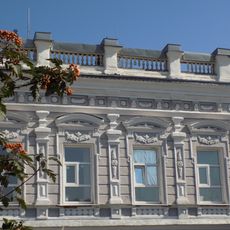
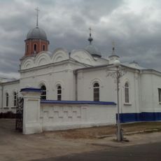
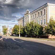
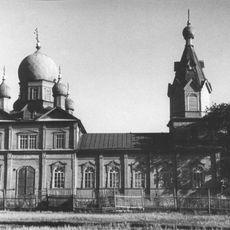
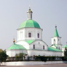
Kalach, Administrative town in Voronezh Oblast, Russia.

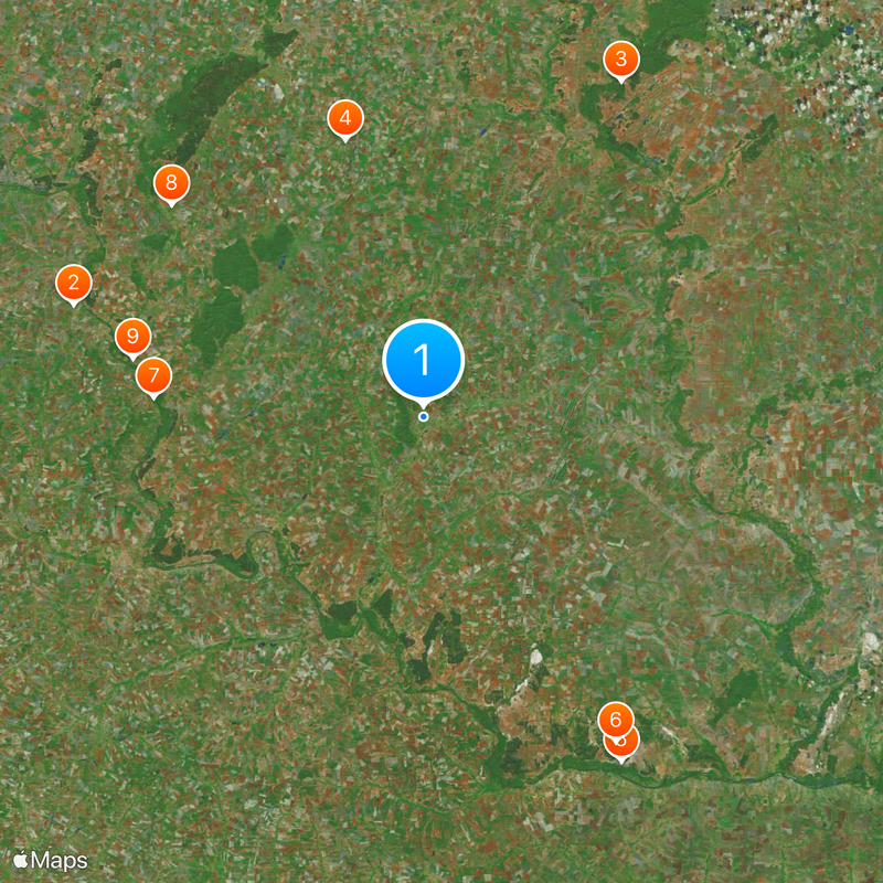
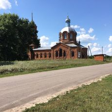
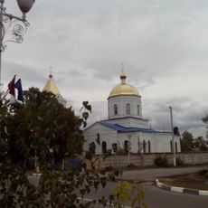
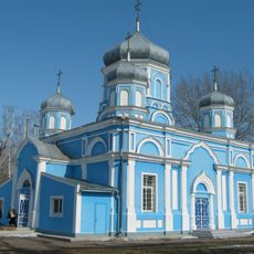
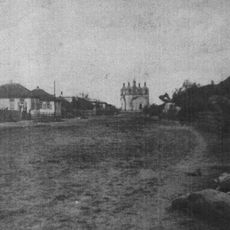
Kalach is an administrative town in Voronezh Oblast situated where the Tolucheyevka and Podgornaya Rivers meet. It serves as the central hub for Kalacheyevsky District and includes several rural settlements within its jurisdiction.

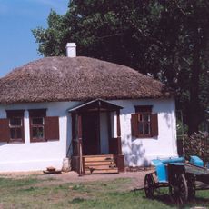
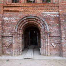
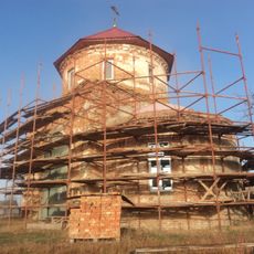
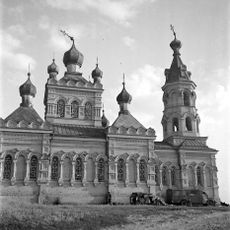
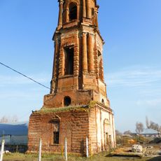
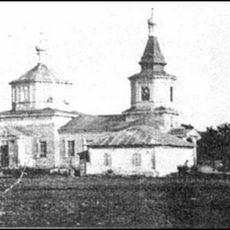
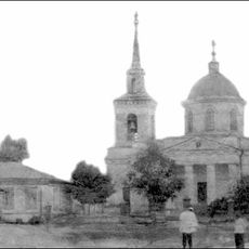
The settlement began in 1716 and gradually developed as a regional hub over the following centuries. Official town status arrived in 1945, marking its growth from a smaller outpost into a proper administrative center.

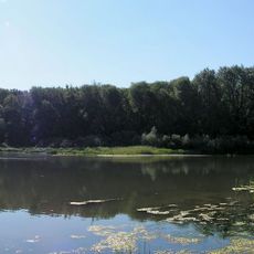
The name Kalach comes from a regional word describing how the Don River bends sharply around a piece of land. This geographical meaning still shapes how locals and visitors understand the town's position in the landscape.

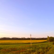
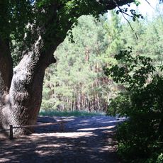
The town is best explored during warmer months when access to the riverside areas is easier. Since it functions as an administrative center, most public services and facilities operate during standard business hours throughout the week.

Seven rural localities fall under its administrative control, forming a wider network of communities beyond the main town itself. This arrangement reveals how a modest administrative hub manages a much larger surrounding area.

The community of curious travelers

AroundUs brings together thousands of curated places, local tips, and hidden gems, enriched daily by 60,000 contributors worldwide.

Start exploring
Inception
1716
Elevation above the sea
90 m
GPS coordinates
50.42583,41.01556
Latest update
December 20, 2025 16:13
Around this place
Kostomarovsky Spassky Monastery
Russian Federation

Kostomarovsky Spassky Monastery

94.2 km
Khopyor Nature Reserve
Russian Federation

Khopyor Nature Reserve

99.4 km
Kamennaya Steppe
Russian Federation

Kamennaya Steppe

73.5 km
National Sholokhov Museum-Reserve
Russian Federation

National Sholokhov Museum-Reserve

102.6 km
Վյոշենսկայայի կաղնի
Russian Federation

Վյոշենսկայայի կաղնի

97.6 km
Belogorsky Resurrection Monastery
Russian Federation

Belogorsky Resurrection Monastery

69.6 km
Sretenskaya Church
Russian Federation

Sretenskaya Church

84.1 km
Saint Nicholas Church
Russian Federation

Saint Nicholas Church

76.2 km
Church of the Protection of the Theotokos
Russian Federation

Church of the Protection of the Theotokos

100.2 km
Russian Federation

Преображенский собор

65 km
Казанская церковь
Russian Federation

Казанская церковь

65 km
Church of the Dormition of the Theotokos
Russian Federation

Church of the Dormition of the Theotokos

102.6 km
Церква Покрови Пресвятої Богородиці
Russian Federation

Церква Покрови Пресвятої Богородиці

98.6 km
Митрофановская церковь
Russian Federation

Митрофановская церковь

73.8 km
Дом купца Одинцова
Russian Federation

Дом купца Одинцова

65.4 km
WLM/6100000344
Russian Federation

WLM/6100000344

103.2 km
Покровская церковь
Russian Federation

Покровская церковь

65 km
Богучарская гимназия
Russian Federation

Богучарская гимназия

63.4 km
Лысогорский Успенский монастырь
Russian Federation

Лысогорский Успенский монастырь

92.8 km
Church of Intercession of the Theotokos in Uryupinsk
Russian Federation

Church of Intercession of the Theotokos in Uryupinsk

81 km
Церковь Святой Троицы (Вёшенская)
Russian Federation

Церковь Святой Троицы (Вёшенская)

102.4 km
Church of the Theotokos of the Sign
Russian Federation

Church of the Theotokos of the Sign

106.3 km
Покровская церковь
Russian Federation

Покровская церковь

96.2 km
Church of the Nativity of the Theotokos
Russian Federation

Church of the Nativity of the Theotokos

80.9 km
Вознесенская церковь (Вишняковский)
Russian Federation

Вознесенская церковь (Вишняковский)

96.2 km
Дмитриевская церковь (Дурновский)
Russian Federation

Дмитриевская церковь (Дурновский)

99 km
Ვიოშენსკაიის მიქაელ მთავარანგელოზის ტაძარი
Russian Federation

Ვიოშენსკაიის მიქაელ მთავარანგელოზის ტაძარი

102.4 km
Церковь Михаила Архангела (Добринка)
Russian Federation

Церковь Михаила Архангела (Добринка)

73.9 km
Show the full map
Reviews
Share your experience

No review yet

Discussions
Start a discussion...

No discussion yet

« Kalach - Administrative town in Voronezh Oblast, Russia » is provided by Around Us (aroundus.com). Images and texts are derived from Wikimedia project under a Creative Commons license. You are allowed to copy, distribute, and modify copies of this page, under the conditions set by the license, as long as this note is clearly visible.

Discover hidden gems everywhere you go!

From secret cafés to breathtaking viewpoints, skip the crowded tourist spots and find places that match your style. Our app makes it easy with voice search, smart filtering, route optimization, and insider tips from travelers worldwide. Download now for the complete mobile experience.

Around Us App Screenshot

A unique approach to discovering new places

Le Figaro

All the places worth exploring

France Info

A tailor-made excursion in just a few clicks

20 Minutes

Around Us
Travel Guide & Maps
Download

Send to your phone

QR Code
1

Open the camera app on your mobile.

2

Point at the QR code with your camera. A notification will appear.

3

Tap the notification to open the link.