Enable Location

We need your location to show you interesting places around you

Discover nearby places

Find interesting locations and hidden gems around you

Precise directions

Get accurate directions and distances to places

Your location is never shared with other users. It's only used when you tap the location button.

Bolshoy Kamen

Log in to your account

Start exploring — it's free

Trusted by 67,453 travelers worldwide

Continue with Google
Continue with Apple
or

We will send you a code to connect

By continuing, you accept our Terms and Conditions and our Privacy Policy

Check your inbox

We've sent a pincode in your inbox. Please enter the code below.

Bolshoy Kamen
Discussion Reviews 1 Photos
57.9k Popularity

Bolshoy Kamen, Coastal industrial town in Primorsky Krai, Russia.

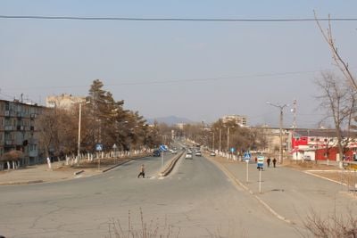
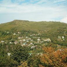
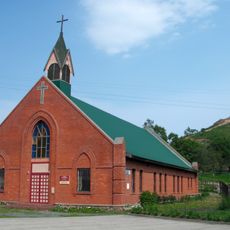
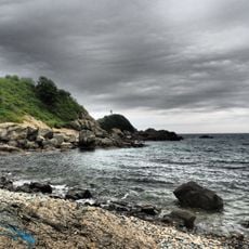
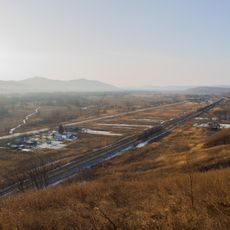
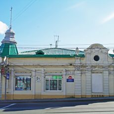
Bolshoy Kamen is a coastal town in Primorsky Krai, Russia, stretching along Ussuri Bay. Residential neighborhoods spread across hills and flat coastal strips, while port facilities and shipyard structures dominate the eastern section of the settlement.

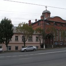
The settlement was founded in 1947 as a naval support base and served military purposes for decades. It officially gained town status in 1989 and remained closed to outsiders until 2015.

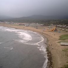
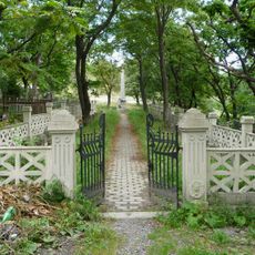
The name means "big stone" in Russian, referring to the rocky coastline where residents once gathered. Local families still walk along the bay in the evening, watching cargo ships move through the strait that connects the waterfront to the industrial zones.

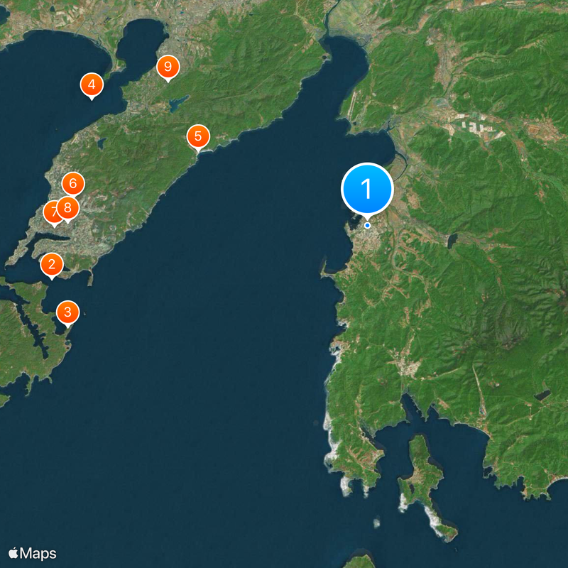
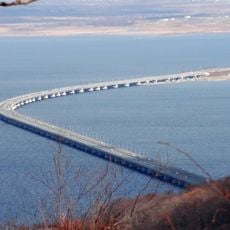
The town sits about 40 kilometers from Vladivostok, but the coastal road stretches to 130 kilometers. Visitors should plan for longer travel times, as the route follows the bay and makes several detours.

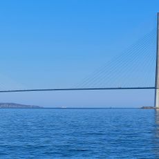
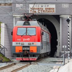
The Zvezda shipyard now builds some of the largest icebreakers and tankers in the world. The site was once part of a closed military zone where submarines were dismantled.

The community of curious travelers

AroundUs brings together thousands of curated places, local tips, and hidden gems, enriched daily by 60,000 contributors worldwide.

Start exploring
Inception
1947
Elevation above the sea
50 m
Website
GPS coordinates
43.11667,132.35000
Latest update
December 13, 2025 19:40
Around this place
Russky Bridge
Russian Federation

Russky Bridge

36.4 km
Primorsky Aquarium
Russian Federation

Primorsky Aquarium

36 km
Amur Bay Bridge
Russian Federation

Amur Bay Bridge

34.5 km
Shamora
Russian Federation

Shamora

21.1 km
Mount Kholodilnik
Russian Federation

Mount Kholodilnik

33.7 km
Most Holy Mother of God Catholic Church
Russian Federation

Most Holy Mother of God Catholic Church

35.6 km
Stalin tunnel
Russian Federation

Stalin tunnel

34.1 km
Russian Federation

Ростральная колонна

28 km
Botanical Garden-Institute of the Far Eastern Branch of the Russian Academy of Sciences
Russian Federation

Botanical Garden-Institute of the Far Eastern Branch of the Russian Academy of Sciences

31.3 km
Saint Paul's Lutheran Church
Russian Federation

Saint Paul's Lutheran Church

36.4 km
Vladivostok Circus
Russian Federation

Vladivostok Circus

36.2 km
Czechoslovak Legions Graveyard in Vladivostok
Russian Federation

Czechoslovak Legions Graveyard in Vladivostok

33.6 km
Церковь «Благая Весть»
Russian Federation

Церковь «Благая Весть»

35.4 km
Anna Bay
Russian Federation

Anna Bay

34 km
Церковь евангельских христиан-баптистов на Народном проспекте
Russian Federation

Церковь евангельских христиан-баптистов на Народном проспекте

34.7 km
Russian Federation

Monument to Osip Mandelstam in Vladivostok

36.1 km
53rd km
Russian Federation

53rd km

19.2 km
St. Nicholas Cathedral
Russian Federation

St. Nicholas Cathedral

34.9 km
Жариковский сквер
Russian Federation

Жариковский сквер

35.6 km
Railway Workers' Palace of Culture
Russian Federation

Railway Workers' Palace of Culture

35.9 km
People's House, Vladivostok
Russian Federation

People's House, Vladivostok

36 km
Sinkevich's Apartment Houses, Vladivostok
Russian Federation

Sinkevich's Apartment Houses, Vladivostok

36.4 km
Ансамбль жилых корпусов Сибирского флотского экипажа
Russian Federation

Ансамбль жилых корпусов Сибирского флотского экипажа

36.1 km
Доходный дом А.Б. Филипченко
Russian Federation

Доходный дом А.Б. Филипченко

35.8 km
Торговый дом Кунст и Альберс в Офицерской слободе
Russian Federation

Торговый дом Кунст и Альберс в Офицерской слободе

35.2 km
Pushkinskaya Street 39, Vladivostok
Russian Federation

Pushkinskaya Street 39, Vladivostok

36.3 km
Svetlanskaya Street 72, Vladivostok
Russian Federation

Svetlanskaya Street 72, Vladivostok

36.2 km
Pushkinskaya Street 41, Vladivostok
Russian Federation

Pushkinskaya Street 41, Vladivostok

36.2 km
Show the full map
Reviews
Share your experience

No review yet

Discussions
Start a discussion...

No discussion yet

« Bolshoy Kamen - Coastal industrial town in Primorsky Krai, Russia » is provided by Around Us (aroundus.com). Images and texts are derived from Wikimedia project under a Creative Commons license. You are allowed to copy, distribute, and modify copies of this page, under the conditions set by the license, as long as this note is clearly visible.

Discover hidden gems everywhere you go!

From secret cafés to breathtaking viewpoints, skip the crowded tourist spots and find places that match your style. Our app makes it easy with voice search, smart filtering, route optimization, and insider tips from travelers worldwide. Download now for the complete mobile experience.

Around Us App Screenshot

A unique approach to discovering new places

Le Figaro

All the places worth exploring

France Info

A tailor-made excursion in just a few clicks

20 Minutes

Around Us
Travel Guide & Maps
Download

Send to your phone

QR Code
1

Open the camera app on your mobile.

2

Point at the QR code with your camera. A notification will appear.

3

Tap the notification to open the link.