Yuryuzan, Left tributary river in Chelyabinsk Oblast and Bashkortostan, Russia.
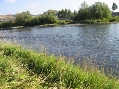
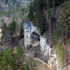
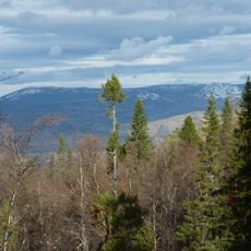
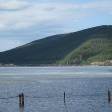
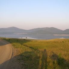
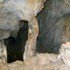
The Yuryuzan is a river flowing through Chelyabinsk Oblast and Bashkortostan, running for about 404 kilometers from Mount Yamantau down to the Pavlovskoye Reservoir. The waterway passes through varied terrain, with its waters shaping a corridor of land as they move toward their final destination.
The river's name comes from the Bashkir language, reflecting the waterway's role as a vital transport and resource line for the region. Its course has guided settlement and activity in the area since the earliest times.
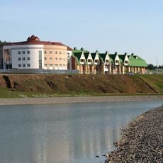
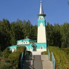
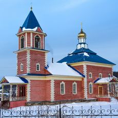
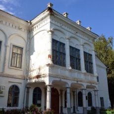
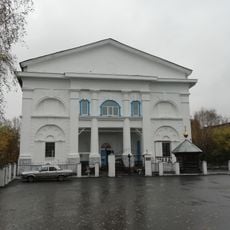
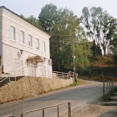
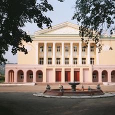
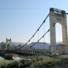
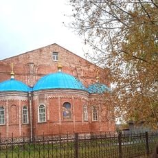
The valley of the Yuryuzan shapes daily life in the towns along it, especially Yuryuzan and Ust-Katav, where locals have long depended on fishing and the water for their way of living. You can see how settlements were built with the river in mind, as a source of food and a natural route through the landscape.
The lower section near the mouth allows boat travel for about 16 kilometers, making it a route for small vessels. The water freezes over from late October through April, so spring through fall offers the best time to visit or navigate the river.
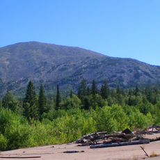
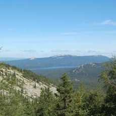
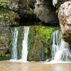
The river drops significantly in elevation as it flows, starting near 960 meters at Mount Yamantau and ending at about 140 meters at the reservoir. This steep descent of 820 meters creates strong currents and carves through the landscape in distinct ways.
The community of curious travelers
AroundUs brings together thousands of curated places, local tips, and hidden gems, enriched daily by 60,000 contributors worldwide.