Chest opened
+${chestReward.xp} XP
Explorer
NOUVEAU ×${chestReward.collectible.quantity}
tapez pour fermer

See the monuments around you in AR Open chests in the app

Around Us is built for your phone — point your camera at the streets and discover the monuments and places around you in augmented reality. Around Us is built for your phone — chests unlock when you walk, explore and capture nearby places.

Enable Location

We need your location to show you interesting places around you

Discover nearby places

Find interesting locations and hidden gems around you

Precise directions

Get accurate directions and distances to places

Your location is never shared with other users. It's only used when you tap the location button.

Kuma–Manych Depression

Log in to your account

Start exploring — it's free

Trusted by 86,421 travelers worldwide

Continue with Google
Continue with Apple
or

We will send you a code to connect

By continuing, you accept our Terms and Conditions and our Privacy Policy

Check your inbox

We've sent a pincode in your inbox. Please enter the code below.

Kuma–Manych Depression
Discussion Reviews 2 Photos
24.3k Popularity

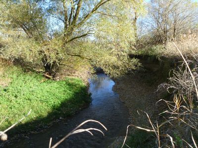
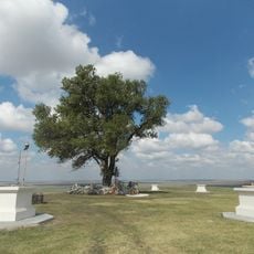
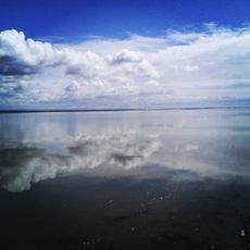
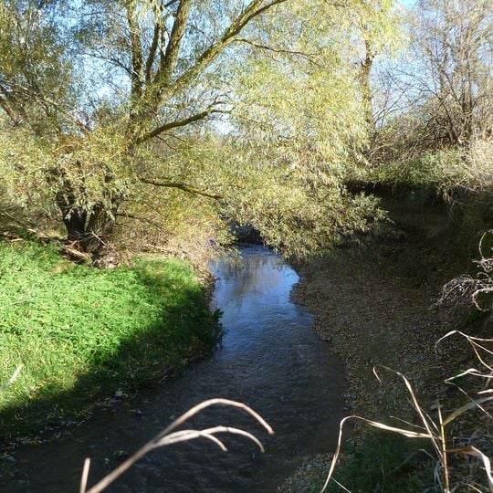
Kuma–Manych Depression, Natural valley system in southwestern Russia.

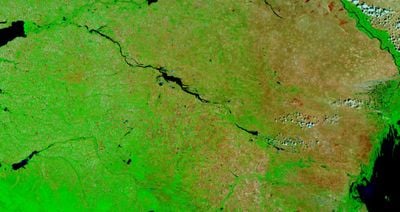
The Kuma-Manych Depression is a valley system lying between the Black Sea and Caspian Sea in southwestern Russia. It has been divided by canals and reservoirs that today distribute water for farming across the region.

The valley system served as a major trade route between the two seas since ancient times, enabling exchange between different regions. This connection shaped the development of surrounding areas for thousands of years.

Agriculture shapes the landscape today, with local communities using farming methods adapted over generations to the wet conditions of this lowland. This way of life remains closely tied to the seasonal changes in water levels.

The terrain is flat and mostly open, making it relatively easy to observe water and landscape features. The best time to visit is spring or autumn, when weather conditions are more stable.

The area marks the natural boundary between Europe and Asia and contains Lake Manych-Gudilo along with several connected water systems. This geographic position makes it a special transition point between two continents.

The community of curious travelers

AroundUs brings together thousands of curated places, local tips, and hidden gems, enriched daily by 60,000 contributors worldwide.
Start exploring
Elevation above the sea
20 m
GPS coordinates
45.71500,44.10500
Latest update
September 13, 2026 00:49
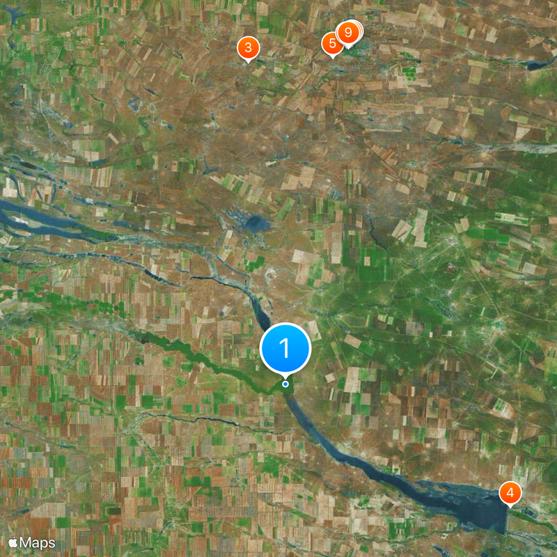
Around this place
Burkhan Bakshin Altan Sume
Russian Federation

Burkhan Bakshin Altan Sume

41.9 mi
Lone Poplar Protected Area
Russian Federation

Lone Poplar Protected Area

39.4 mi
Chogray Reservoir
Russian Federation

Chogray Reservoir

31.2 mi
Syakyusn-Syume
Russian Federation

Syakyusn-Syume

40 mi
Bahatr Basangov State Kalmyk Dramatic Theatre
Russian Federation

Bahatr Basangov State Kalmyk Dramatic Theatre

41.5 mi
Friendship Park, Elista
Russian Federation

Friendship Park, Elista

41.6 mi
Zolotye vorota
Russian Federation

Zolotye vorota

41.7 mi
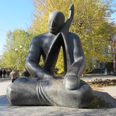
Jangarchi Eelyan Ovla monument
Russian Federation

Jangarchi Eelyan Ovla monument

41.6 mi
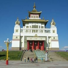
Stupa Prosvetleniya
Russian Federation

Stupa Prosvetleniya

41.6 mi
Городская поликлиника
Russian Federation

Городская поликлиника

41.6 mi
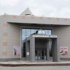
Национальный музей Калмыкии
Russian Federation

Национальный музей Калмыкии

41.8 mi
Aks-sado
Russian Federation

Aks-sado

41.8 mi
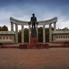
Memorial to the heroes of the Civil War and the World War II in Elista
Russian Federation

Memorial to the heroes of the Civil War and the World War II in Elista

41.5 mi
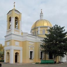
Our Lady of Kazan Cathedral
Russian Federation

Our Lady of Kazan Cathedral

41.5 mi
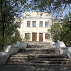
Krasnaya shkola
Russian Federation

Krasnaya shkola

41.7 mi
Dom Sovietov
Russian Federation

Dom Sovietov

41.8 mi
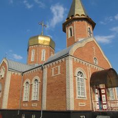
Holy Cross Church
Russian Federation

Holy Cross Church

41.5 mi
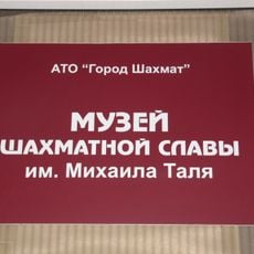
Chess Museum
Russian Federation

Chess Museum

41.3 mi
Russian Federation

Памятник жертвам сталинского геноцида

41.6 mi
Часовня Святого Сергия Радонежского
Russian Federation

Часовня Святого Сергия Радонежского

41.9 mi
Национальная библиотека Калмыкии
Russian Federation

Национальная библиотека Калмыкии

41.5 mi
Памятник Кирову (Элиста)
Russian Federation

Памятник Кирову (Элиста)

41.5 mi
Lenin monument in Elista
Russian Federation

Lenin monument in Elista

41.7 mi
Church of the Exaltation of the Cross
Russian Federation

Church of the Exaltation of the Cross

39.7 mi
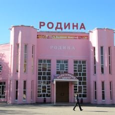
'Rodina' cinema, Elista
Russian Federation

'Rodina' cinema, Elista

41.6 mi
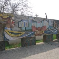
Tsveti, Kalmykiya!
Russian Federation

Tsveti, Kalmykiya!

41.6 mi
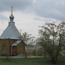
Saint George Chapel
Russian Federation

Saint George Chapel

41.4 mi
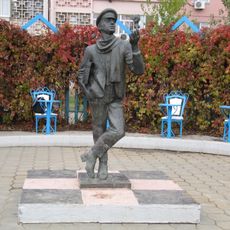
Ostap Bender statue in Elista
Russian Federation

Ostap Bender statue in Elista

41.8 mi
Show the full map
Reviews
Share your experience

No review yet

Discussions
Start a discussion...

No discussion yet

« Kuma–Manych Depression - Natural valley system in southwestern Russia » is provided by Around Us (aroundus.com). Images and texts are derived from Wikimedia project under a Creative Commons license. You are allowed to copy, distribute, and modify copies of this page, under the conditions set by the license, as long as this note is clearly visible.

Discover hidden gems everywhere you go!

From secret cafés to breathtaking viewpoints, skip the crowded tourist spots and find places that match your style. Our app makes it easy with voice search, smart filtering, route optimization, and insider tips from travelers worldwide. Download now for the complete mobile experience.
Around Us App Screenshot

A unique approach to discovering new places

Le Figaro

All the places worth exploring

France Info

A tailor-made excursion in just a few clicks

20 Minutes

Around Us
Travel Guide & Maps
Download

Send to your phone

QR Code
1

Open the camera app on your mobile.

2

Point at the QR code with your camera. A notification will appear.

3

Tap the notification to open the link.