Chest opened
+${chestReward.xp} XP
Explorer
NOUVEAU ×${chestReward.collectible.quantity}
tapez pour fermer
Chest locked

Open chests in the app

Around Us is built for your phone — chests unlock when you walk, explore and capture nearby places.

Enable Location

We need your location to show you interesting places around you

Discover nearby places

Find interesting locations and hidden gems around you

Precise directions

Get accurate directions and distances to places

Your location is never shared with other users. It's only used when you tap the location button.

Spas-Klepiki

Log in to your account

Start exploring — it's free

Trusted by 72,937 travelers worldwide

Continue with Google
Continue with Apple
or

We will send you a code to connect

By continuing, you accept our Terms and Conditions and our Privacy Policy

Check your inbox

We've sent a pincode in your inbox. Please enter the code below.

Discussion Reviews 1 Photos
24.3k Popularity

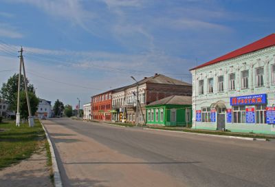
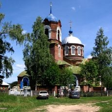
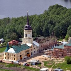
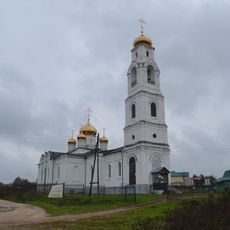
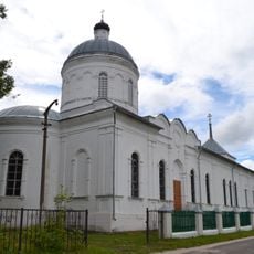
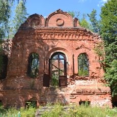
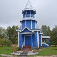
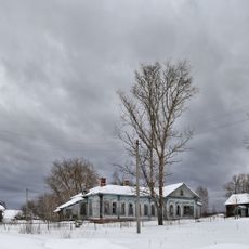
Spas-Klepiki, Administrative town in Ryazan Oblast, Russia

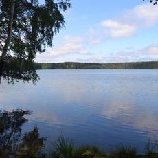
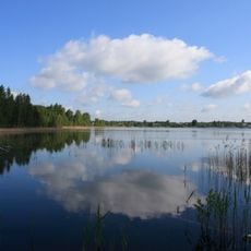
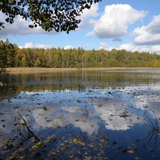
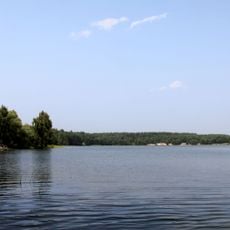
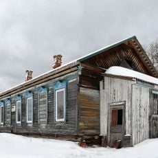
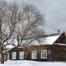
Spas-Klepiki is a town in Ryazan Oblast situated along the Pra River, which flows into the Oka. It serves as the administrative center for Klepikovsky District and anchors the local region.

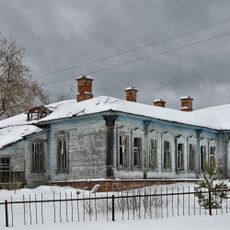
The settlement began in the 16th century as Klepiki and became an officially designated town in 1920 during the early Soviet era. This change reflected its growing importance as a regional administrative center.

The population decline from 7,209 residents in 1989 to 5,916 in 2010 reflects the demographic changes occurring across rural Russian communities.

The town is accessible year-round and operates in the UTC+3 time zone. Visitors should prepare for a continental climate with cold winters and warm summers.

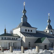
Located at an elevation of 110 meters, the town serves as both an administrative hub and an urban settlement within the Klepikovsky Municipal District.

The community of curious travelers

AroundUs brings together thousands of curated places, local tips, and hidden gems, enriched daily by 60,000 contributors worldwide.

Start exploring
Elevation above the sea
110 m
GPS coordinates
55.13333,40.16667
Latest update
December 20, 2025 12:52
Around this place
Beloye Lake
Russian Federation

Beloye Lake

17 km
Meshchyorsky National Park
Russian Federation

Meshchyorsky National Park

0 m
Nicholas-Radovitsky Monastery
Russian Federation

Nicholas-Radovitsky Monastery

39.8 km
Beloe
Russian Federation

Beloe

17 km
Segdeno
Russian Federation

Segdeno

37.3 km
Troitskaya church
Russian Federation

Troitskaya church

24.8 km
Aleksandro-Mariinski Monastery
Russian Federation

Aleksandro-Mariinski Monastery

14.3 km
Russian Federation

Ivankovskoe

8.7 km
Velikoye Lake
Russian Federation

Velikoye Lake

20.3 km
Gavrinskoe
Russian Federation

Gavrinskoe

39.8 km
St. Nicholas Church
Russian Federation

St. Nicholas Church

33.7 km
Saint Nicholas Church, Yalmont
Russian Federation

Saint Nicholas Church, Yalmont

13.8 km
Assumption church
Russian Federation

Assumption church

10.2 km
Saint Demetrius of Thessaloniki Church, Dmitrovsky Pogost
Russian Federation

Saint Demetrius of Thessaloniki Church, Dmitrovsky Pogost

29.5 km
Saint Anna Church
Russian Federation

Saint Anna Church

42.5 km
Храм в честь иконы Божией Матери Нечаянная Радость
Russian Federation

Храм в честь иконы Божией Матери Нечаянная Радость

23.6 km
Ограда с воротами (Палищи)
Russian Federation

Ограда с воротами (Палищи)

34.3 km
Церковь (Палищи)
Russian Federation

Церковь (Палищи)

34.3 km
Корпус №1 (амбулаторный) (Великодворский)
Russian Federation

Корпус №1 (амбулаторный) (Великодворский)

34.3 km
Церковь (Нарма)
Russian Federation

Церковь (Нарма)

29.2 km
Elijah the Prophet church in Palishchi
Russian Federation

Elijah the Prophet church in Palishchi

34.3 km
Exaltation Church, Narma
Russian Federation

Exaltation Church, Narma

29.2 km
Часовня Георгия Победоносца (церковь Елисаветы) (Великодворский)
Russian Federation

Часовня Георгия Победоносца (церковь Елисаветы) (Великодворский)

34.3 km
Church of Saint Paraskeva Pyatnitsa in Velikodvorye
Russian Federation

Church of Saint Paraskeva Pyatnitsa in Velikodvorye

31.9 km
Корпус №4 (дом врачей) (Великодворский)
Russian Federation

Корпус №4 (дом врачей) (Великодворский)

34.2 km
Больница земская (Великодворский)
Russian Federation

Больница земская (Великодворский)

34.3 km
Корпус №2 (терапевтический) (Великодворский)
Russian Federation

Корпус №2 (терапевтический) (Великодворский)

34.3 km
Корпус №3 (Великодворский)
Russian Federation

Корпус №3 (Великодворский)

34.3 km
Show the full map
Reviews
Share your experience

No review yet

Discussions
Start a discussion...

No discussion yet

« Spas-Klepiki - Administrative town in Ryazan Oblast, Russia » is provided by Around Us (aroundus.com). Images and texts are derived from Wikimedia project under a Creative Commons license. You are allowed to copy, distribute, and modify copies of this page, under the conditions set by the license, as long as this note is clearly visible.

Discover hidden gems everywhere you go!

From secret cafés to breathtaking viewpoints, skip the crowded tourist spots and find places that match your style. Our app makes it easy with voice search, smart filtering, route optimization, and insider tips from travelers worldwide. Download now for the complete mobile experience.

Around Us App Screenshot

A unique approach to discovering new places

Le Figaro

All the places worth exploring

France Info

A tailor-made excursion in just a few clicks

20 Minutes

Around Us
Travel Guide & Maps
Download

Send to your phone

QR Code
1

Open the camera app on your mobile.

2

Point at the QR code with your camera. A notification will appear.

3

Tap the notification to open the link.